Site type guide
archaeological_site
Crawlable taxonomy page generated from the current site detail schema and used in the internal linking graph.
Traditions represented here
52 sites
Browse this type across countries, traditions, and sacred landscapes.

Abaj Takalik
El Asintal, Retalhuleu, Guatemala
Abaj Takalik is a archaeological site of sacred significance. Approximate coordinates: 14.64604, -91.73567. Attributes: built, cultural, archaeological. Tradition: Maya.
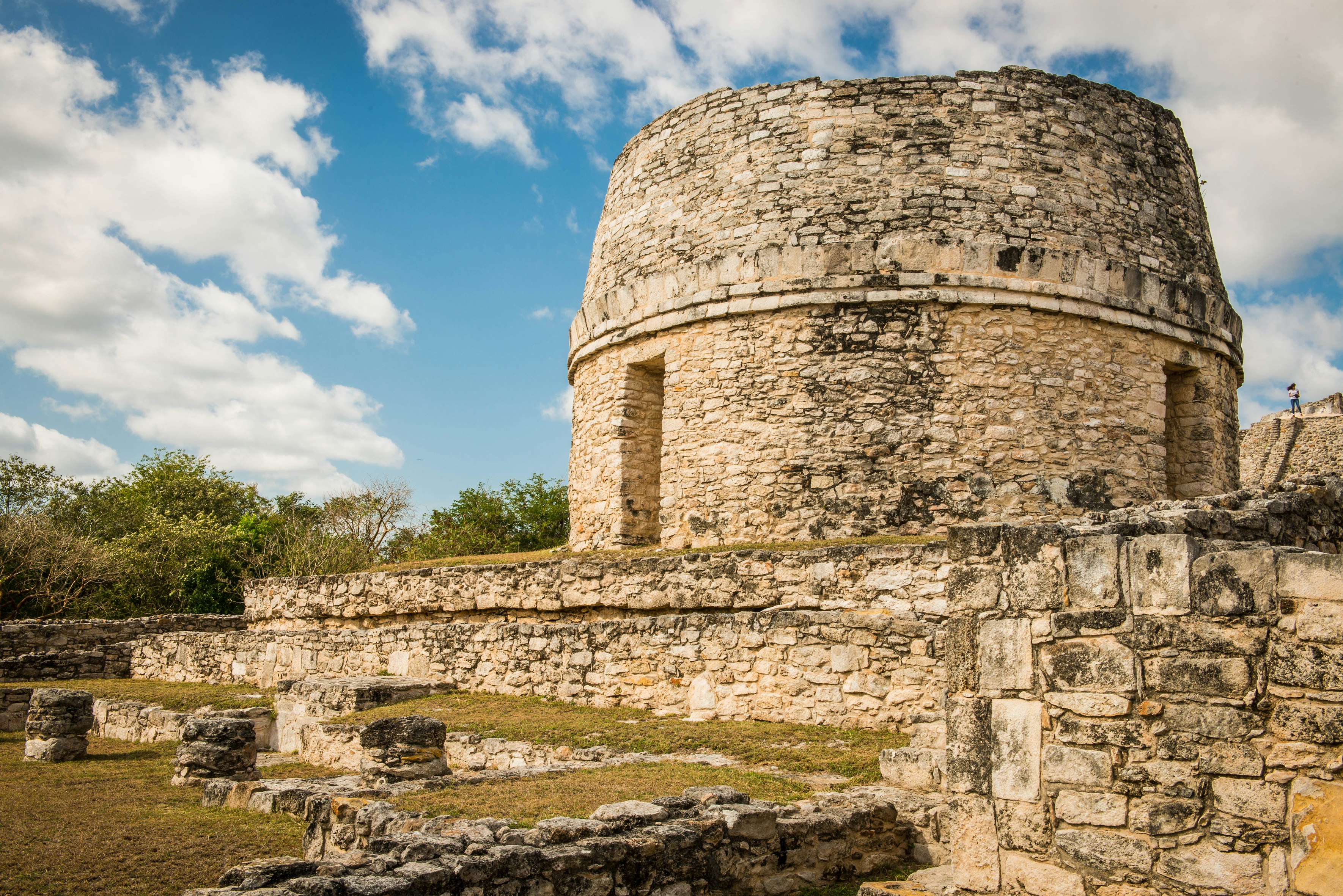
Archaeological Site of Mayapan
Tecoh, Yucatan, Mexico
Archaeological Site of Mayapan in Tecoh, Yucatan, Mexico.
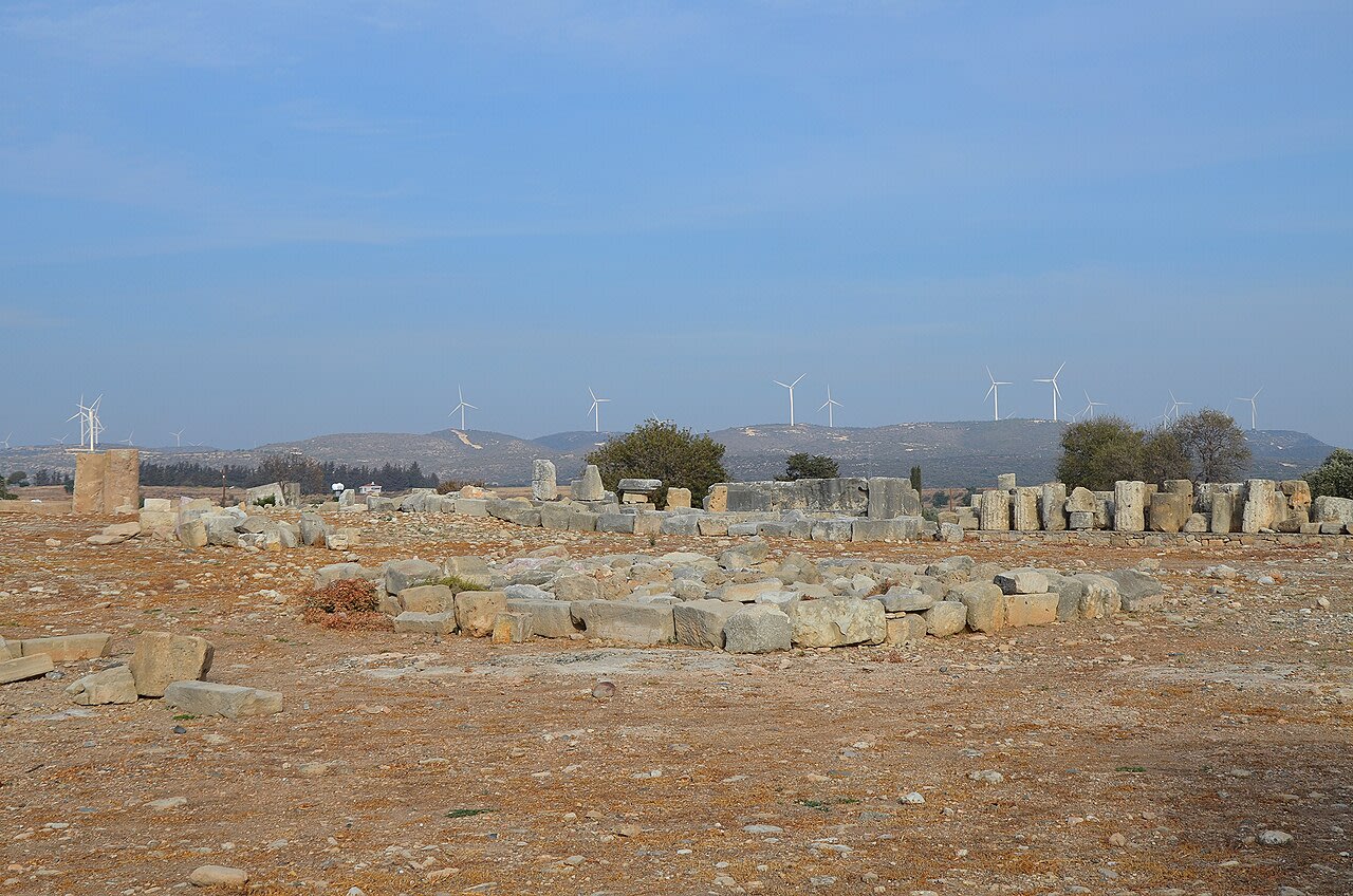
Archaeological Site of Palaepaphos
Kouklia, Cyprus, Cyprus
Archaeological Site of Palaepaphos in Kouklia, Cyprus, Cyprus.
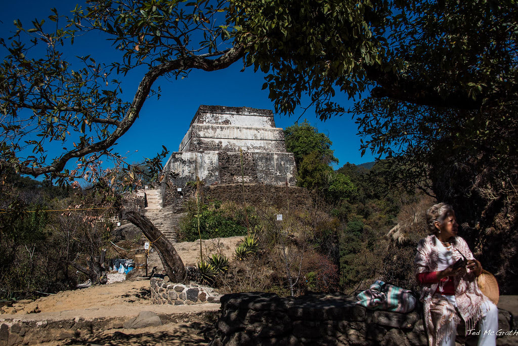
Archaeological Zone Tepozteco
Tepoztlan, Morelos, Mexico
Archaeological Zone Tepozteco in Tepoztlan, Morelos, Mexico.
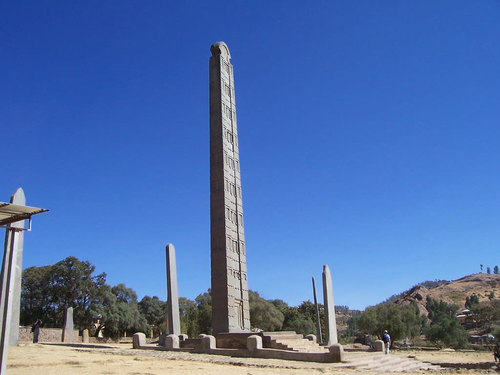
Axum
Axum, Tigray, Ethiopia
Axum is a church and archaeological site of sacred significance. Approximate coordinates: 14.13037, 38.71956. Attributes: built, cultural, archaeological, pilgrimage. Tradition: Christianity. Associated figure: St. Mary of Zion. Mythological context: Ark of the Covenant. Recognized as a UNESCO World Heritage Site. Axum, also spelled Aksum ( ), is a town in the Tigray Region of Ethiopia with a population of 66,900 residents (as of 2015). It is the site of the historic capital of the Aksumite Empire. Axum is located in the Central Zone of the Tigray Region, near the base of the Adwa mountains. It has an elevation of 2,131 metres (6,991 feet) and is surrounded by La ilay Maychew, a separately administered woreda of the Tigray region. In 1980, UNESCO added Axum s archaeological sites to its list of World Heritage Sites due to their historic value. Prior to the beginning of the Tigray War in 2020, Axum was a leading tourist destination for foreign visitors. Located in ትግራይ تجراى, ኢትዮጵያ إثيوبيا.
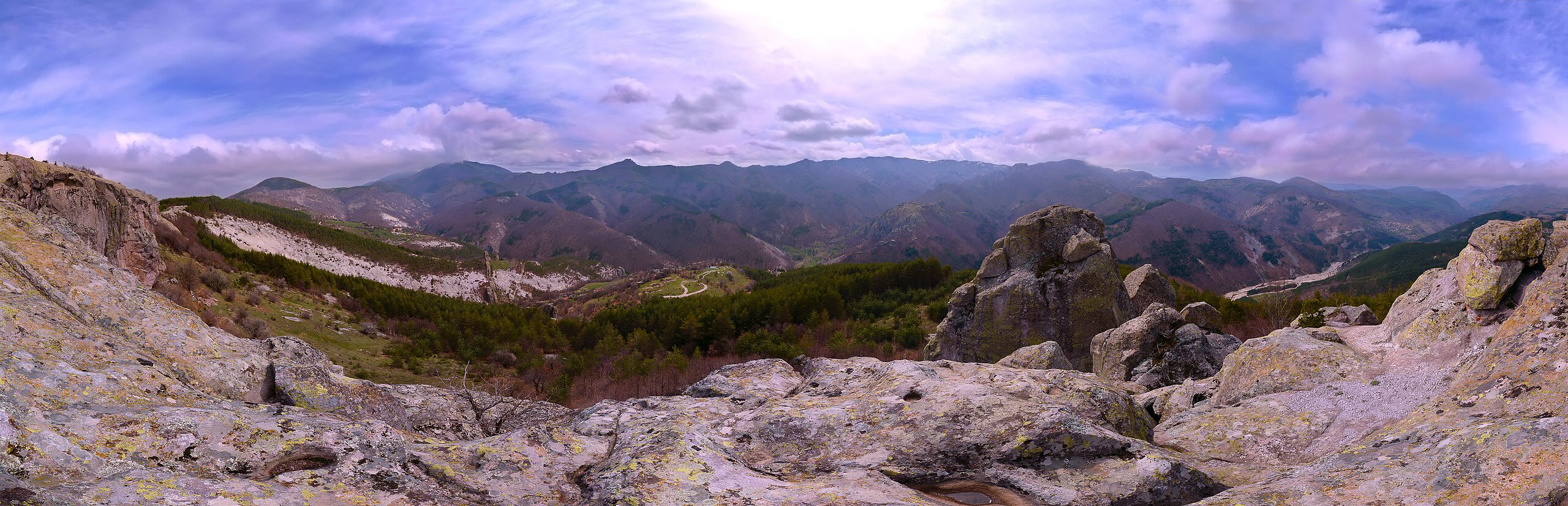
Belintash
Near Mostovo (central Rhodope Mountains), Plovdiv, Bulgaria
Belintash in Near Mostovo (central Rhodope Mountains), Plovdiv, Bulgaria.
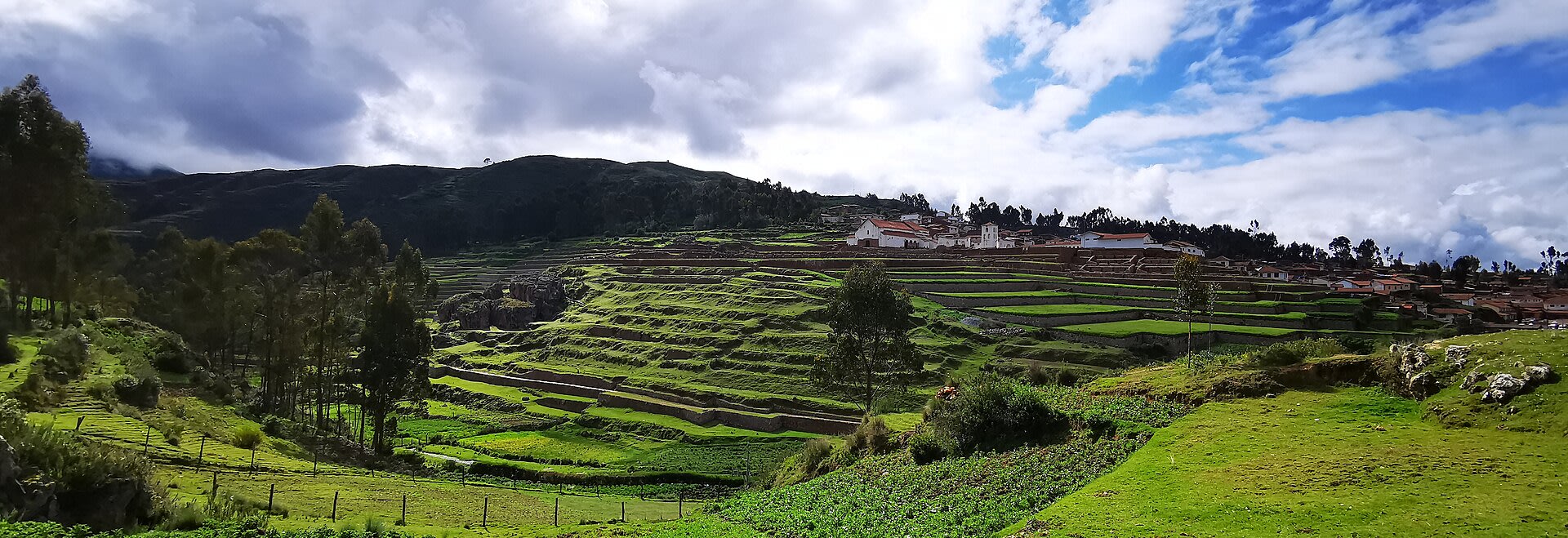
Centro Arqueológico de Chinchero
Chinchero, Cusco, Peru
Centro Arqueológico de Chinchero in Chinchero, Cusco, Peru.
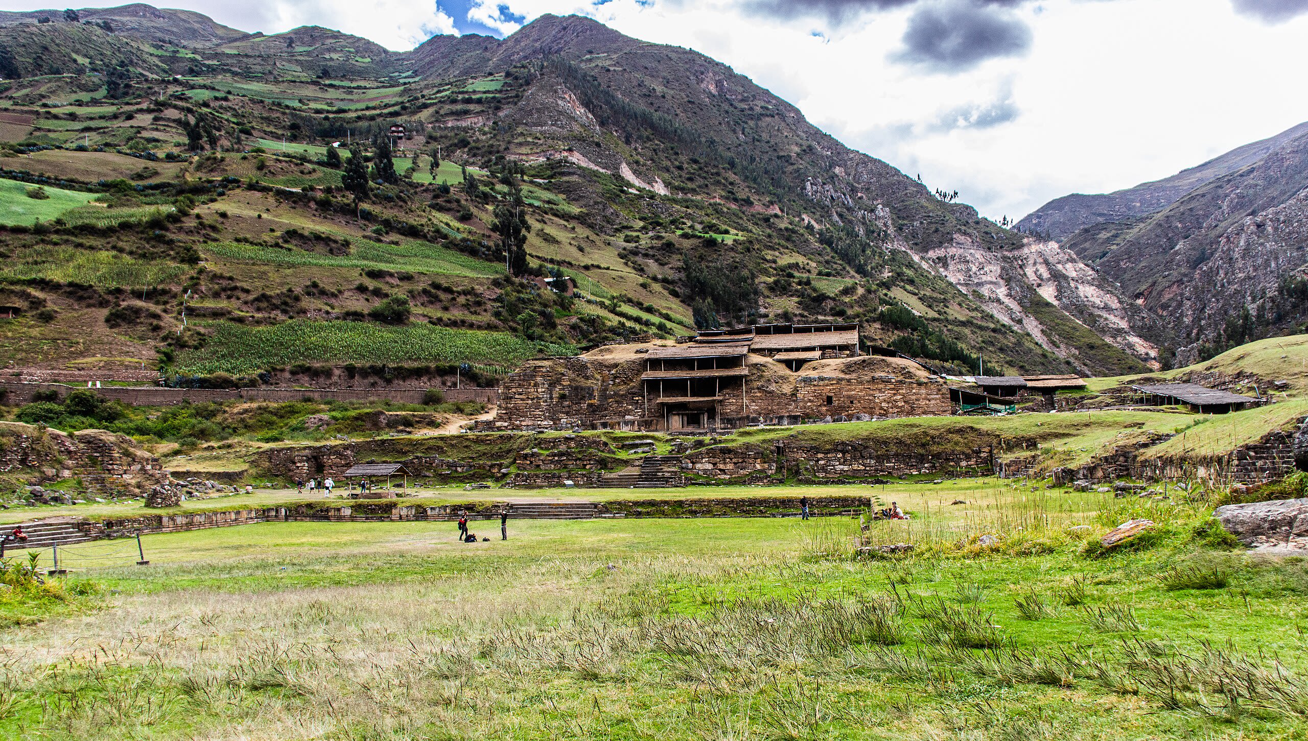
Chavín de Huántar
Chavín de Huantar, Ancash, Peru
Chavín de Huántar is a archaeological site of sacred significance. Approximate coordinates: -9.59367, -77.17734. Attributes: built, cultural, archaeological, ceremonial. Tradition: Chavín. Recognized as a UNESCO World Heritage Site. Chavín de Huántar is an archaeological site in Peru, containing ruins and artifacts constructed as early as 1200 BC, and occupied until around 400–500 BC by the Chavín, a major pre-Inca culture. The site is located in the Ancash Region, 434 kilometers (270 mi) north of Lima, at an elevation of 3,180 meters (10,430 ft), east of the Cordillera Blanca at the start of the Conchucos Valley. Chavín de Huántar has been designated as a UNESCO World Heritage Site. Some of the Chavín relics from this archaeological site are on display in the Museo de la Nación in Lima and the Museo Nacional de Chavín in Chavín itself. Occupation at Chavín de Huántar has been carbon-dated to at least 3000 BC, with ceremonial center activity occurring primarily toward the end of the second millennium, and through the middle of the first millennium BC. While the fairly large population was based on an agricultural economy, the city s location at the headwaters of the Marañón River, between the coast and the jungle, made it an ideal location for the dissemination and collection of both ideas and material goods. This archaeological site is a large ceremonial center that has revealed a great deal about the Chavín culture. Chavín de Huántar served as a gathering place for people of the region to come together and worship. The transformation of the center into a valley-dominating monument made it a pan-regional place of importance. People went to Chavín de Huántar as a center: to attend and participate in rituals, consult an oracle, or enter a cult. Findings at Chavín de Huántar indicate that social instability and upheaval began to occur between 500 and 300 BC, at the same time that the larger Chavín culture began to decline. Large ceremonial sites were abandoned, some unfinished, and were replaced by villages and agricultural land. At Chavín de Huántar, no later than 500 BC, a small village replaced the Circular Plaza. The plaza was occupied by a succession of cultural groups, and residents salvaged building stones and stone carvings to use in house walls. Multiple occupation floors indicate the village was continuously occupied through the 1940s. Located in Chavín de Huantar, Ancash, Peru.
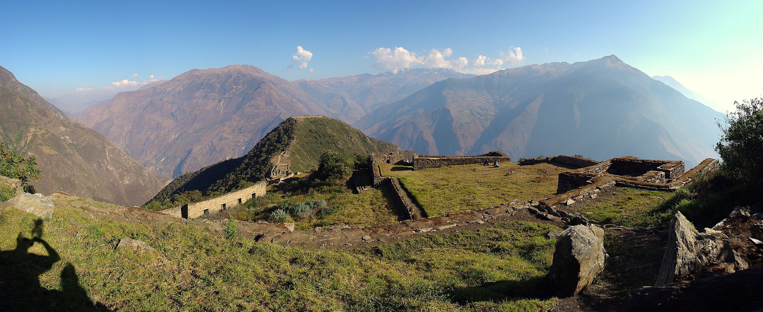
Choquequirao Archaeological Park, Peru
Santa Teresa, Cusco, Peru
Choquequirao Archaeological Park, Peru is a archaeological park of sacred significance. Approximate coordinates: -13.39501, -72.87222. Attributes: built, cultural, archaeological. Tradition: Inca. Located in Santa Teresa, Cusco, Peru.
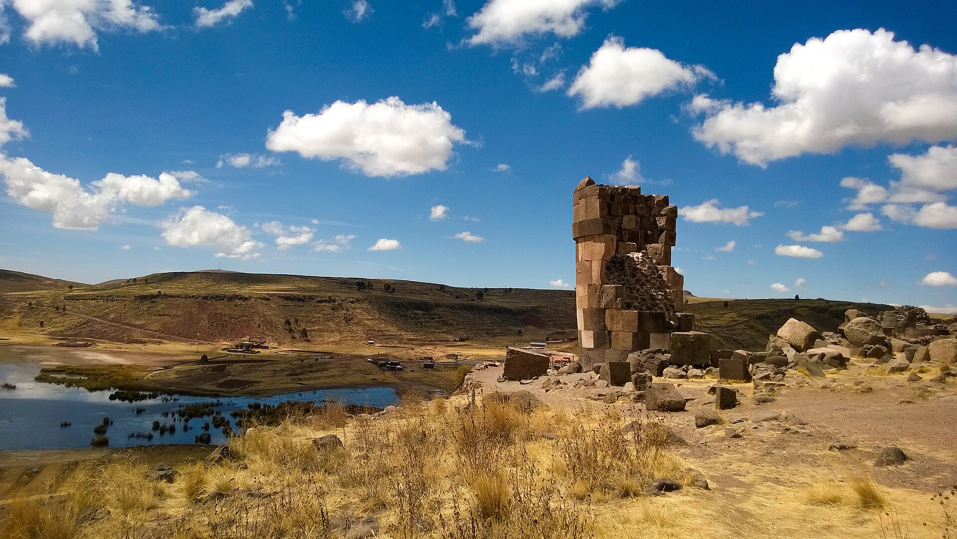
Chullpa Lagarto
Sillustani, Puno, Peru
Chullpa Lagarto in Sillustani, Puno, Peru.
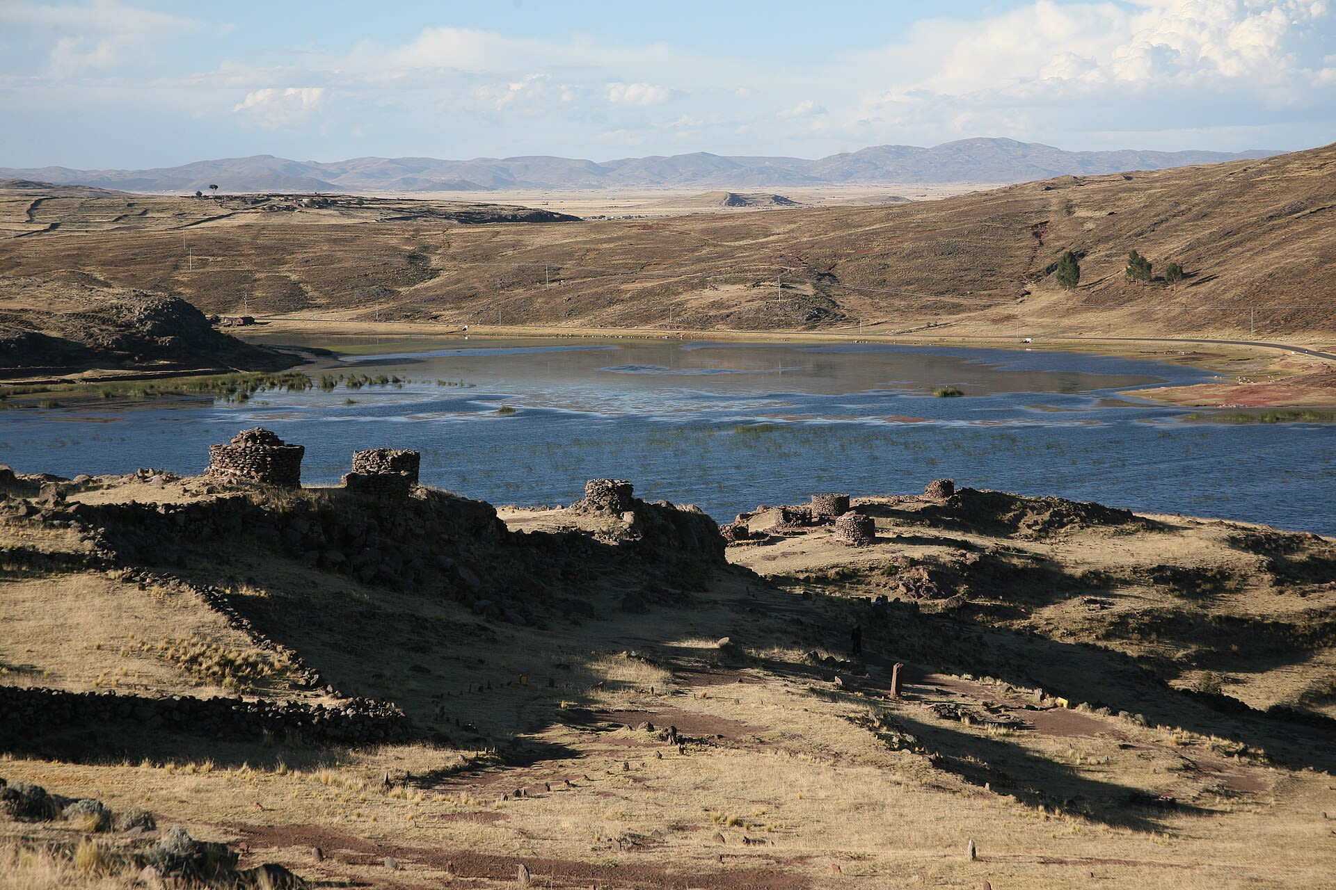
Chullpas Sillustani
Sillustani, Puno, Peru
Chullpas Sillustani in Sillustani, Puno, Peru.
Complejo Arqueológico Q'enqo
Cusco, Cusco, Peru
Complejo Arqueológico Q'enqo in Cusco, Cusco, Peru.
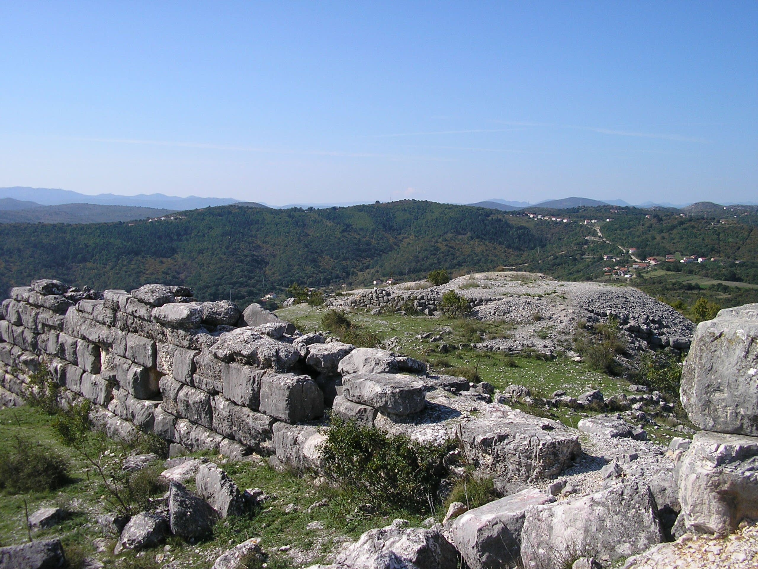
Daorson Illyrian City
Stolac, Federation of Bosnia and Herzegovina, Bosnia and Herzegovina
Daorson Illyrian City in Stolac, Federation of Bosnia and Herzegovina, Bosnia and Herzegovina.
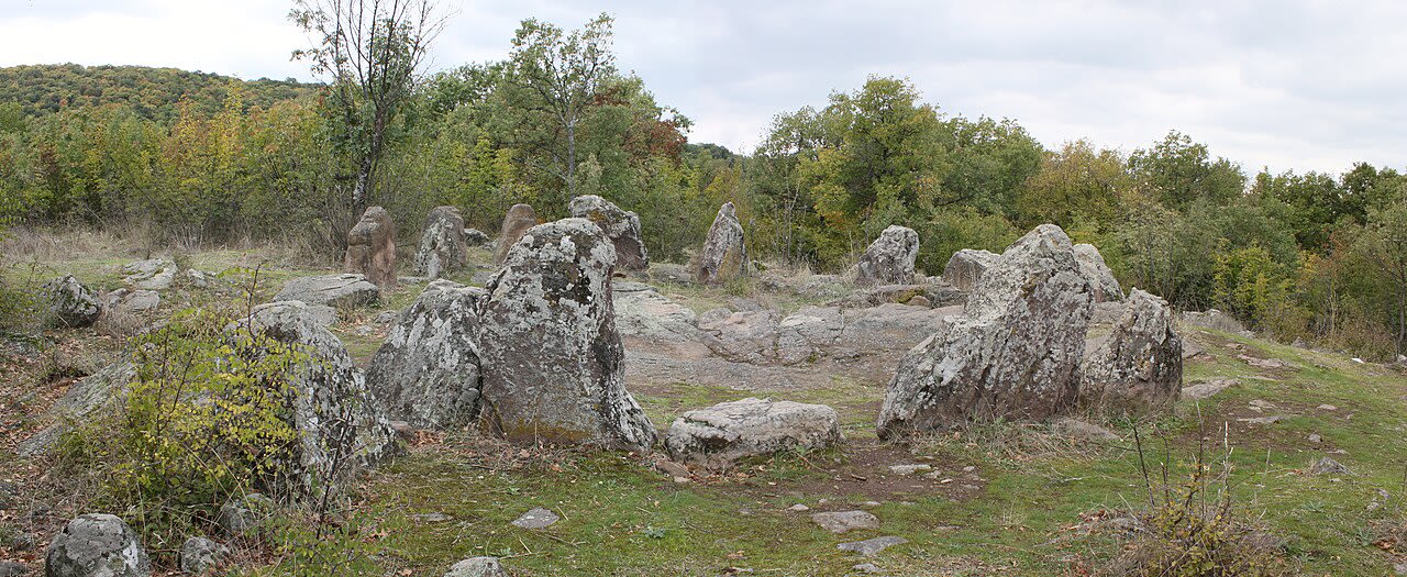
Dolni Glavanak Cromlech
Dolni Glavanak, Haskovo, Bulgaria
Dolni Glavanak Cromlech in Dolni Glavanak, Haskovo, Bulgaria.
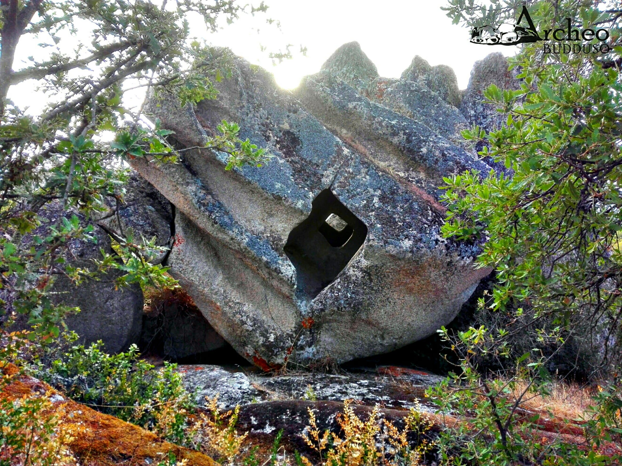
Domus de Janas di Borucca
Budduso, Sardegna, Italia
Domus de Janas di Borucca in Budduso, Sardegna, Italia.
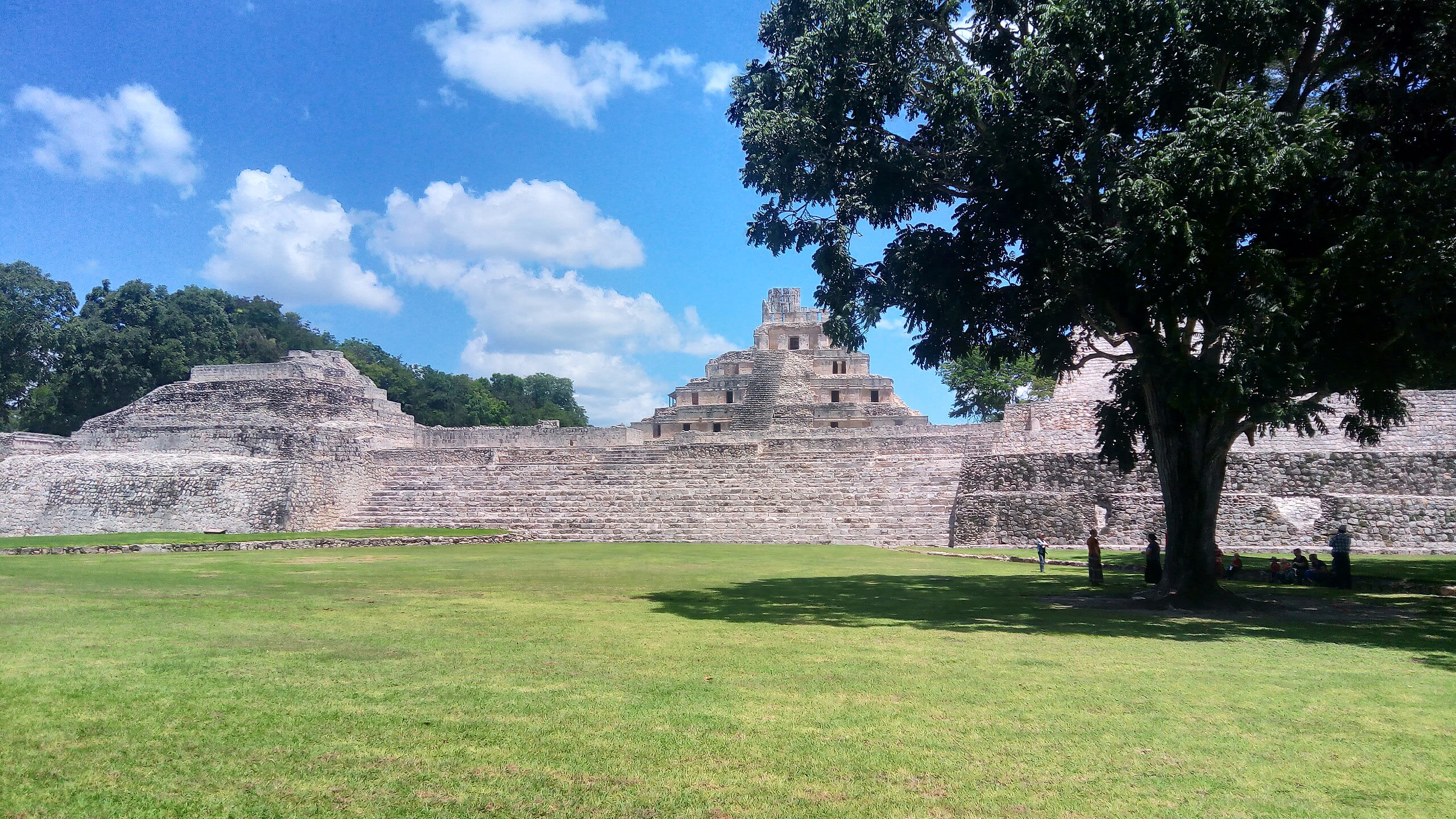
Edzna Archaeological Zone
Municipio de Campeche, Campeche, Mexico
Edzna is a archaeological site of sacred significance. Approximate coordinates: 19.59731, -90.22986. Attributes: built, cultural, archaeological, ceremonial. Tradition: Mayan. Mythological context: Mayan. Edzná ( House of the Itzaes ) is a Mayan archaeological site in the north of the Mexican state of Campeche. The site has been open to visitors since the 1970s. The most remarkable building at the site is the main temple located at the plaza. Built on a platform 40 m high, it provides a wide overview of the surroundings. Another significant building located in the plaza is the ball court, composed of two parallel structures. The top rooms of the ball court were possibly used to store images of the gods associated with the events, along with items needed for the games. Edzná was already inhabited by 400 BC, and was abandoned c. 1500 AD. During the time of occupation, a government was set up whose power was legitimized by the relationship between governors and the deities. In the Late Classic period, Edzná was part of the Calakmul polity. The city may have been inhabited by as early as 600 BC, but it took until 200 AD before it developed into a major city. The architectural style of this site shows signs of the Puuc style, although it is far from the Puuc Hills sites. The decline and eventual abandonment of Edzná remains a mystery today. Edzná was discovered in 1907, and the first organized excavations began in 1958. In 1986, coordinating agencies began to employ Guatemalan refugees in the excavation, restoration, and maintenance at Edzná. This project was funded by various international organizations. Located in Campeche, Mexico.

El Caño Archaeological Site, Panama
El Caño, Coclé, Panama
El Caño Archaeological Site, Panama is a archaeological site of sacred significance. Approximate coordinates: 8.39671, -80.50148. Attributes: built, cultural, archaeological. Located in El Caño, Coclé, Panamá.
El Ushnu
Vilcashuaman, Ayacucho, Peru
El Ushnu in Vilcashuaman, Ayacucho, Peru.
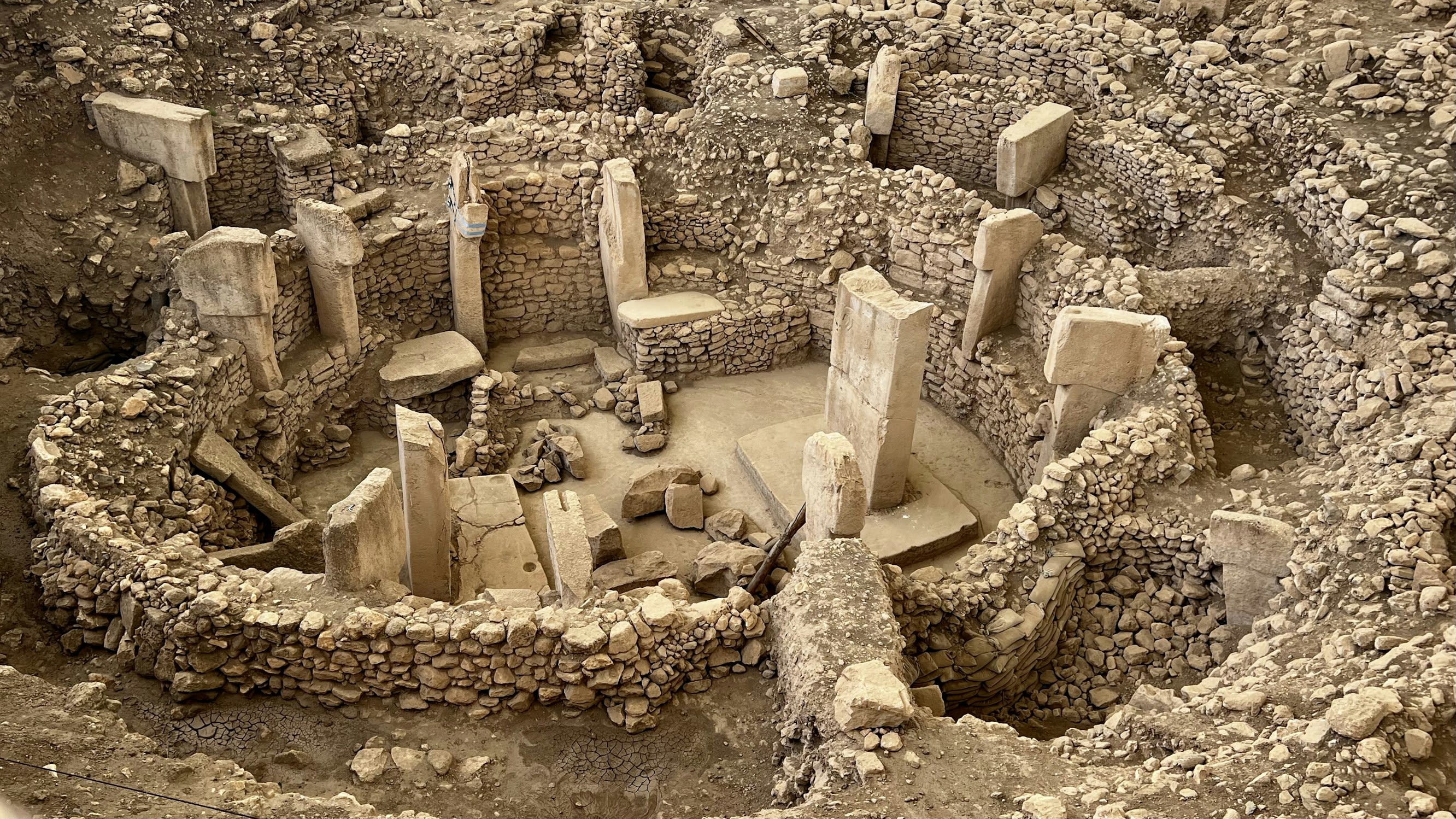
Göbekli Tepe
Haliliye, Şanlıurfa, Turkey
Göbekli Tepe is a neolithic archaeological site of sacred significance. Approximate coordinates: 37.22318, 38.92248. Attributes: built, cultural, archaeological, ceremonial. Tradition: Pre-Pottery Neolithic. Recognized as a UNESCO World Heritage Site. Göbekli Tepe (Turkish: [ɟœbecˈli teˈpe], Potbelly Hill ; Kurdish: Girê Mirazan or Xerabreşkê, Wish Hill ) is a Neolithic archaeological site in Upper Mesopotamia (al-Jazira) in modern-day Turkey. The settlement was inhabited from around 9500 BCE to at least 8000 BCE, during the Pre-Pottery Neolithic. It is famous for its large circular structures that contain massive stone pillars – among the world s oldest known megaliths. Many of these pillars are decorated with anthropomorphic details, clothing, and sculptural reliefs of wild animals, providing archaeologists rare insights into prehistoric religion and the particular iconography of the period. The 15 m (50 ft) high, 8 ha (20-acre) tell is densely covered with ancient domestic structures and other small buildings, quarries, and stone-cut cisterns from the Neolithic, as well as some traces of activity from later periods. The site was first used at the dawn of the southwest Asian Neolithic period, which marked the appearance of the oldest permanent human settlements anywhere in the world. Prehistorians link this Neolithic Revolution to the advent of agriculture but disagree on whether farming caused people to settle down or vice versa. Göbekli Tepe, a monumental complex built on a rocky mountaintop with no clear evidence of agricultural cultivation, has played a prominent role in this debate. Recent findings suggest a settlement at Göbekli Tepe, with domestic structures, extensive cereal processing, a water supply, and tools associated with daily life. This contrasts with a previous interpretation of the site as a sanctuary used by nomads, with few or no permanent inhabitants. No definitive purpose has been determined for the megalithic structures, which have been popularly described as the world s first temple[s] . They were likely roofed and appear to have regularly collapsed, been inundated by slope slides, and subsequently repaired or rebuilt. The architecture and iconography are similar to other contemporary sites in the vicinity, such as Karahan Tepe. The site was first noted in a 1963 archaeological survey. German archaeologist Klaus Schmidt recognised its significance in 1994 and began excavations there the following year. After he died in 2014, work continued as a joint project of Istanbul University, Şanlıurfa Museum, and the German Archaeological Institute, under the direction of Turkish prehistorian Necmi Karul. Göbekli Tepe was designated a UNESCO World Heritage Site in 2018, recognising its outstanding universal value as one of the first manifestations of human-made monumental architecture . As of 2021, around 10% of the site has been excavated. Additional areas were examined by geophysical surveys, which showed the mound to contain at least 20 large enclosures. Located in Haliliye, Güneydoğu Anadolu Bölgesi, Turkey.
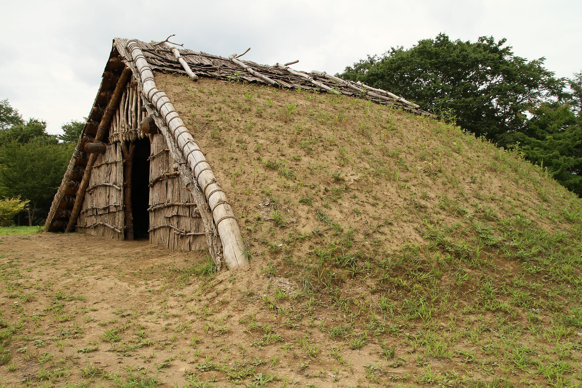
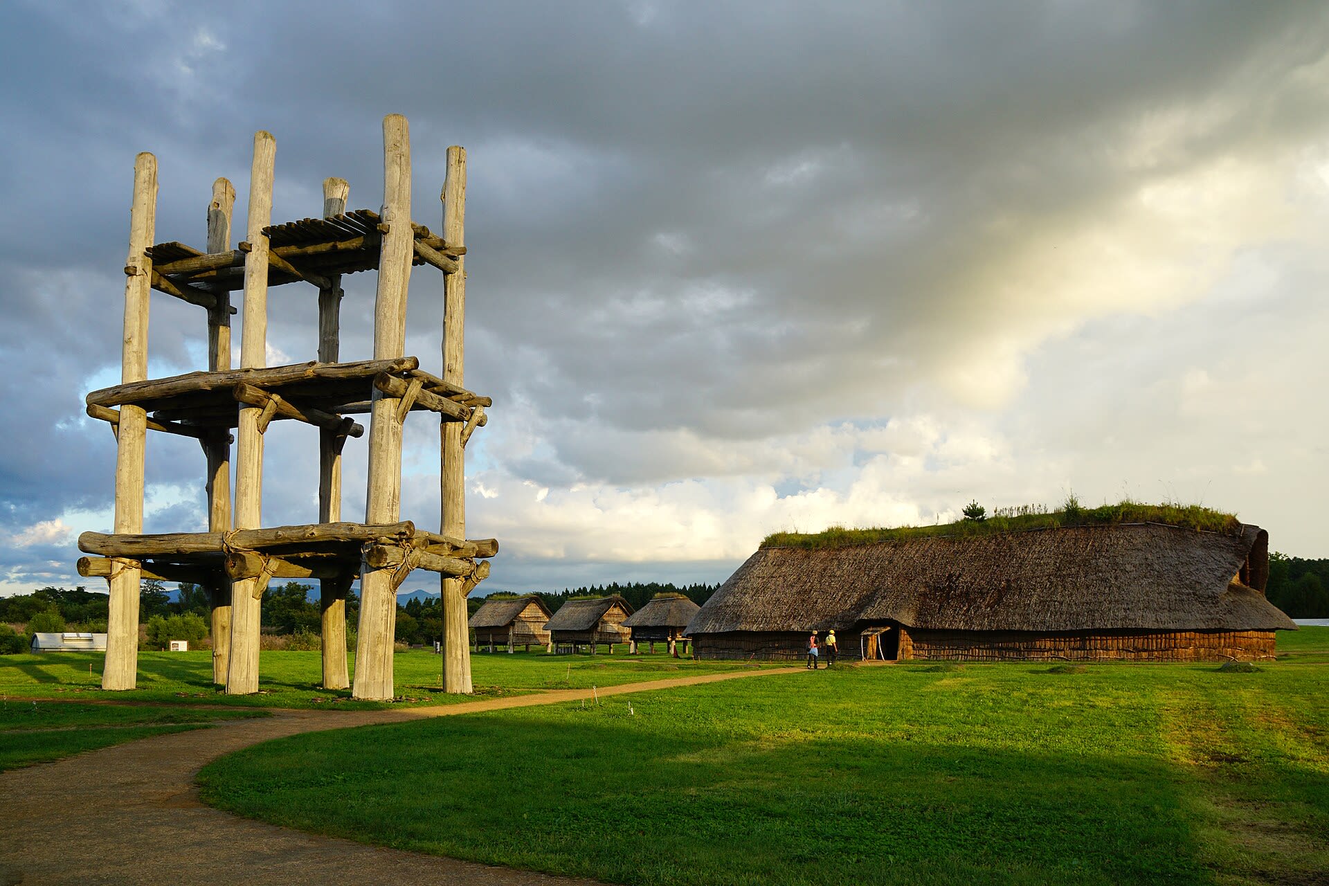
Goshono Site
Ichinohe, Iwate Prefecture, Japan
For forty generations, Jomon communities gathered at this river terrace to tend their dead and feed their fires. The earthen mounds along the settlement's southern edge hold evidence of repeated ceremonies: burned animal bones, charred nuts, clay figurines—offerings made across eight centuries. At the center of the village, two stone-outlined burial grounds marked where the living gathered to honor ancestors. Today, reconstructed earthen-roof dwellings bring the settlement back to life.
Hill of the Avocado
Tierradentro, Cauca, Colombia
Hill of the Avocado in Tierradentro, Cauca, Colombia.
Kabah Archaeological Zone
Santa Elena, Yucatán, Mexico
Kabah is a maya civilization city of sacred significance. Approximate coordinates: 20.24996, -89.65050. Attributes: built, cultural, archaeological, ceremonial. Tradition: Maya. Kabah may refer to: Kabah (Maya site), a Maya civilization city in Yucatán, Mexico Kaaba, the holy building in Mecca, Saudi Arabia Kabah (band), a Mexican pop music group Located in Yucatán, Mexico.
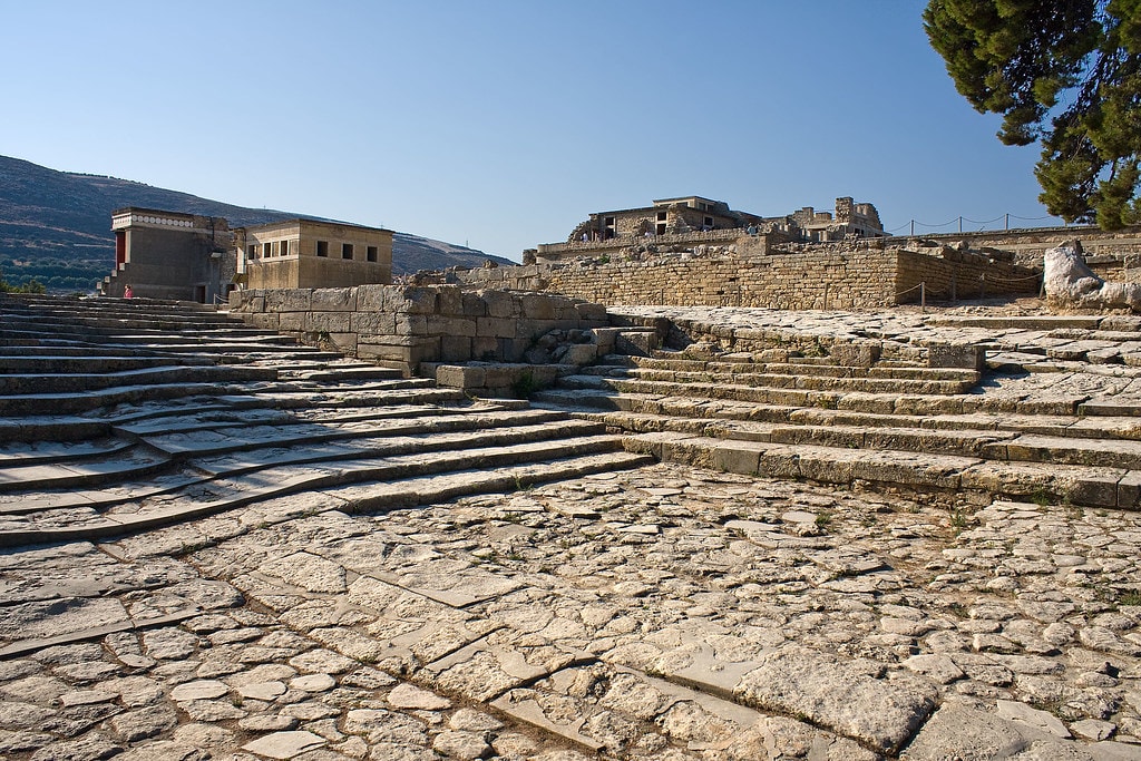
Knossos
Heraklion Municipal Unit, Region of Crete, Greece
Knossos is a archaeological site of sacred significance. Approximate coordinates: 35.29796, 25.16312. Attributes: built, cultural, archaeological, ceremonial. Tradition: Minoan. Mythological context: Greek Mythology. Knossos (; Ancient Greek: Κνωσσός, romanized: Knōssós, pronounced [knɔː.sós]; Linear B: 𐀒𐀜𐀰 Ko-no-so) is a Bronze Age archaeological site in Crete. The site was a major centre of the Minoan civilization and is known for its association with the Greek myth of Theseus and the minotaur. It is located on the outskirts of Heraklion, and remains a popular tourist destination. Knossos is considered by many to be the oldest city in Europe. Knossos is dominated by the monumental Palace of Minos. Like other Minoan palaces, this complex of buildings served as a combination religious and administrative centre rather than a royal residence. The earliest parts of the palace were built around 1900 BC in an area that had been used for ritual feasting since the Neolithic. The palace was continually renovated and expanded over the next five centuries until its final destruction around 1350 BC. The site was first excavated by Minos Kalokairinos in 1877. In 1900, Sir Arthur Evans undertook more extensive excavations which unearthed most of the palace as well as many now-famous artifacts including the Bull-Leaping Fresco, the snake goddess figurines, and numerous Linear B tablets. While Evans is often credited for discovering the Minoan Civilization, his work is controversial in particular for his inaccurate and irreversible reconstructions of architectural remains at the site. Located in Δημοτική Ενότητα Ηρακλείου, Αποκεντρωμένη Διοίκηση Κρήτης, Ελλάς.
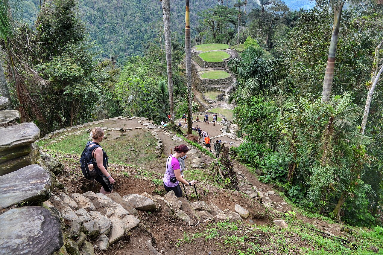
La Ciudad Perdita
Santa Marta, Magdalena, Colombia
La Ciudad Perdita is a archaeological site of sacred significance. Approximate coordinates: 11.03800, -73.92519. Attributes: built, cultural, archaeological. Located in Magdalena, Colombia.
Labna
Santa Elena, Yucatán, Mexico
Labna is a mesoamerican archaeological site of sacred significance. Approximate coordinates: 20.17352, -89.57849. Attributes: built, cultural, archaeological, ceremonial. Tradition: Maya civilization. Recognized as a UNESCO World Heritage Site. Labna (or Labná in Spanish orthography) is a Mesoamerican archaeological site and ceremonial center of the pre-Columbian Maya civilization, located in the Puuc Hills region of the Yucatán Peninsula. It is situated to the south of the large Maya site of Uxmal, in the southwest of the present-day state of Yucatán, Mexico. Labna, Sayil and Kabah were incorporated with Uxmal as a UNESCO World Heritage Site in 1996. Located in Yucatán, Mexico.
Machuqolqa
Chinchero, Cusco, Peru
Machuqolqa in Chinchero, Cusco, Peru.
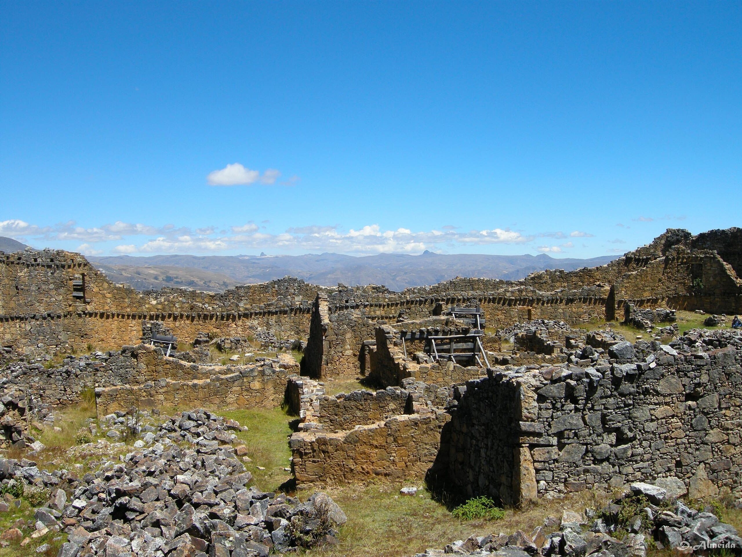
Marcahuamachuco Archaeological Complex
Huamachuco, La Libertad, Peru
Markahuamachuco is a archaeological ruins of sacred significance. Approximate coordinates: -7.78694, -78.07375. Attributes: built, cultural, archaeological. Located in Huamachuco, La Libertad, Peru.
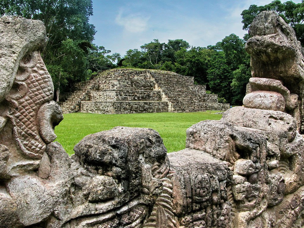
Maya Site of Copan
Copán Ruinas, Copán, Honduras
Copan is a archaeological site of sacred significance. Approximate coordinates: 14.83726, -89.14149. Attributes: built, cultural, archaeological, ceremonial. Tradition: Maya. Recognized as a UNESCO World Heritage Site. Located in Copán Ruinas, Copán, Honduras.
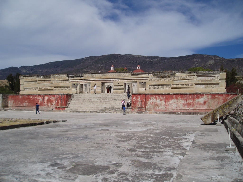
Mitla Archaeological Zone
San Pablo Villa de Mitla, Oaxaca, Mexico
Mitla is a site of sacred significance. Approximate coordinates: 16.92721, -96.35934. Mitla is the second-most important archeological site in the state of Oaxaca in Mexico, and the most important of the Zapotec culture. The site is located 44 km from the city of Oaxaca, in the upper end of the Tlacolula Valley, one of the three cold, high valleys that form the Central Valleys Region of the state. At an elevation of 4,855 ft (1,480 m), surrounded by the mountains of the Sierra Madre del Sur, the archeological site is within the modern municipality of San Pablo Villa de Mitla. It is 24 mi (38 km) southeast of Oaxaca city. While Monte Albán was the most important politically of the Zapotec centers, Mitla became the main religious one in a later period as the area became dominated by the Mixtec. The name Mitla is derived from the Nahuatl name Mictlán, meaning the place of the dead or underworld. Its Zapotec name is Lyobaa, which means “place of rest”. The name Mictlán was transliterated to Mitla. It was established as a sacred burial site by the Zapotec, but the architecture and designs also show the influence of the Mixtec, who had become prominent in the area during the peak of Mitla settlement. Mitla is unique among Mesoamerican sites because of its elaborate and intricate mosaic fretwork and geometric designs that cover tombs, panels, friezes, and even entire walls of the complex. These mosaics are made with small, finely cut and polished stone pieces that have been fitted together without the use of mortar. No other site in Mexico has this decorative work. Located in Oaxaca, Mexico.
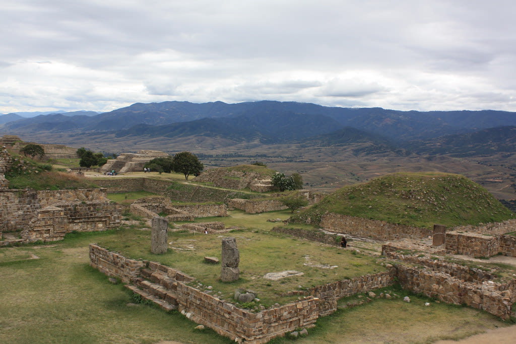
Monte Alban Archaeological Zone
Santa Cruz Xoxocotlán, Oaxaca, Mexico
Monte Alban is a site of sacred significance. Approximate coordinates: 17.04361, -96.76831. Located in Oaxaca, Mexico.
Pisac Incan Archaeological Complex
Pisac, Cusco, Peru
Pisac is a site of sacred significance. Approximate coordinates: -13.40778, -71.84434. Located in Pisac, Cusco, Peru.
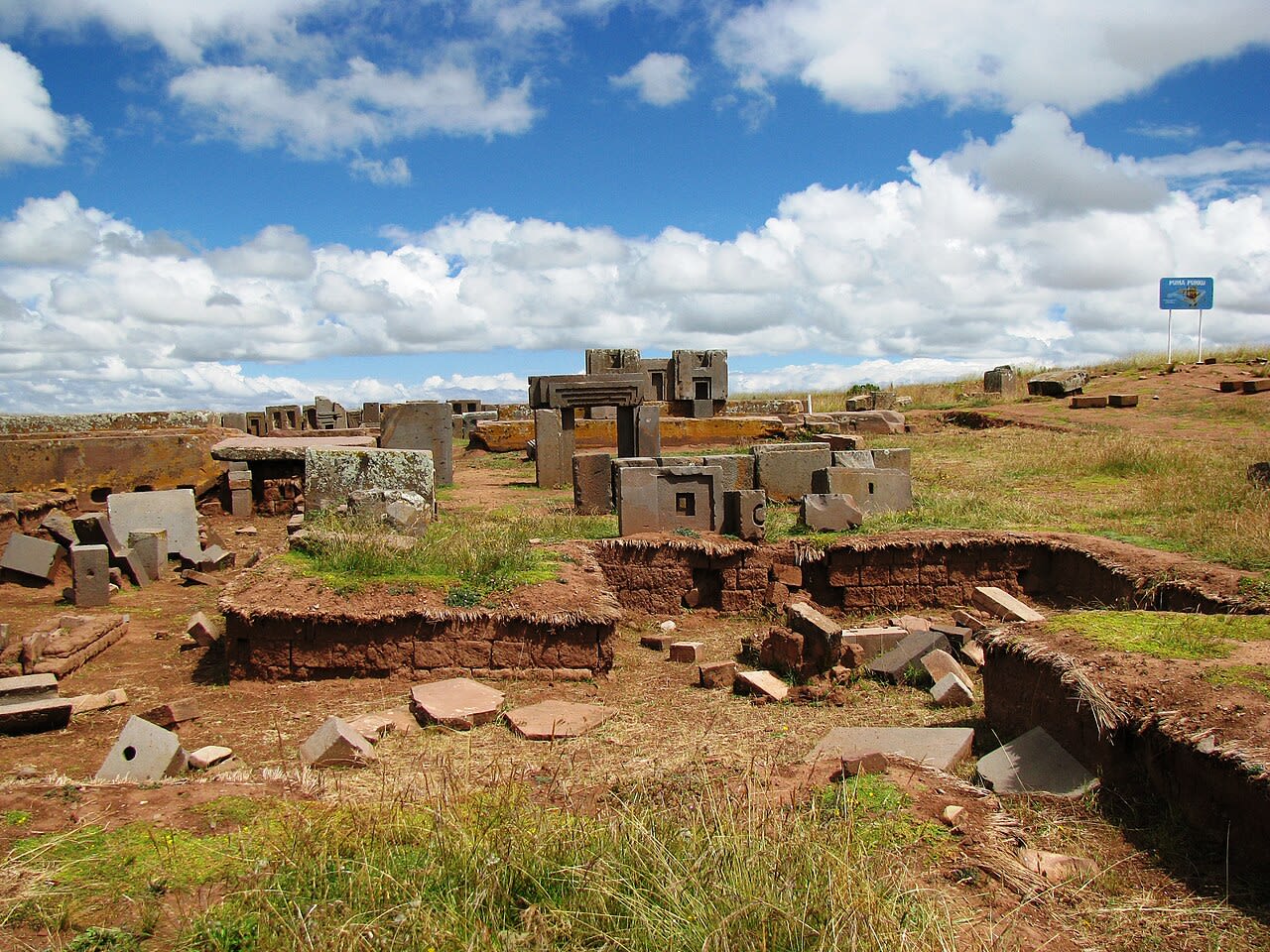
Puma Punku
Tiwanaku, La Paz, Bolivia
Puma Punku in Tiwanaku, La Paz, Bolivia.
Ruins of Montegrande
Jaén, Cajamarca, Peru
Huaca Montegrande, Jaen, Peru is a archaeological of sacred significance. Approximate coordinates: -5.71587, -78.79370. Attributes: built, cultural, archaeological, ceremonial. Located in Jaén, Cajamarca, Peru.
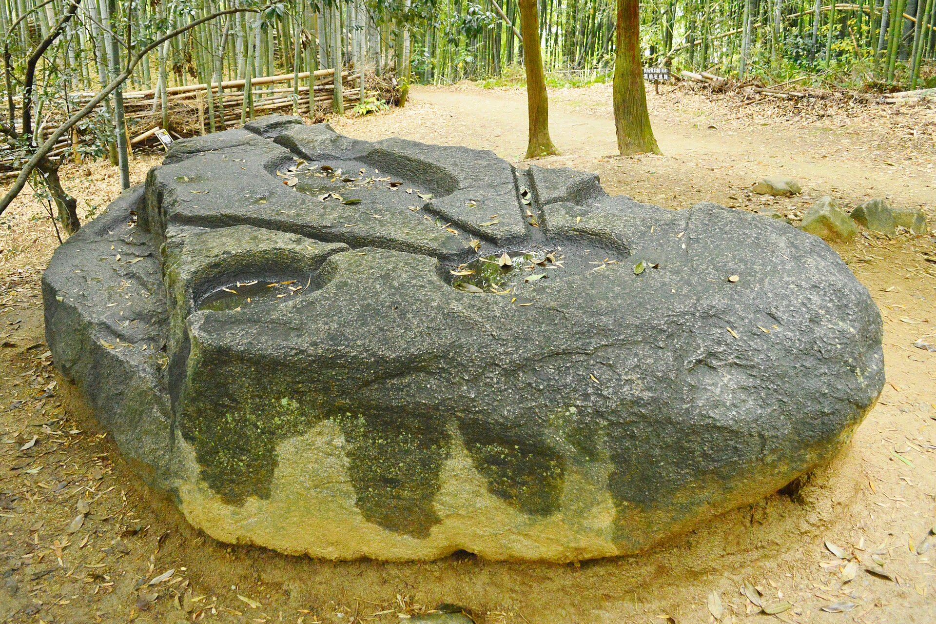
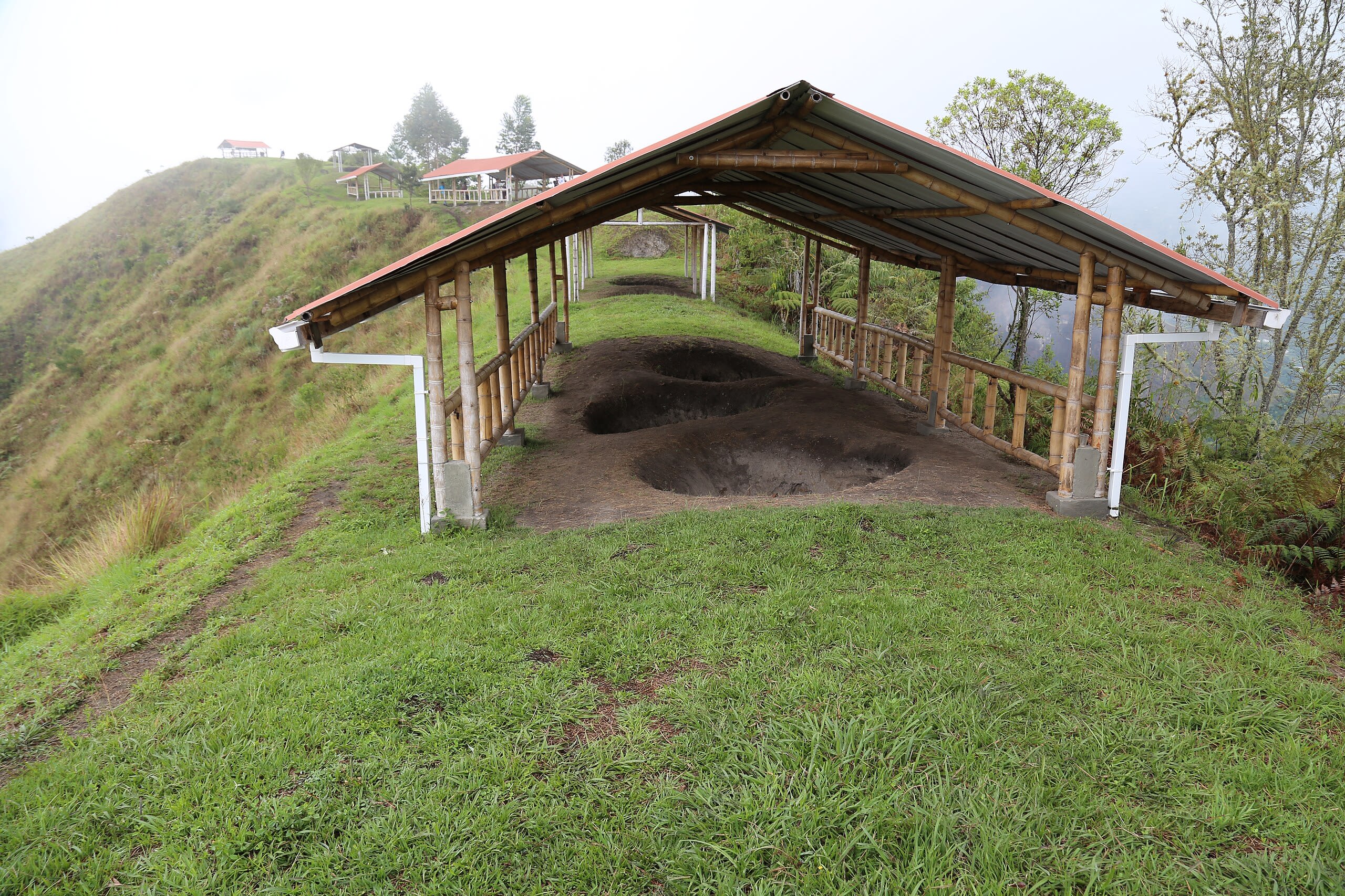
Sakafuneishi Site
Asuka, Nara Prefecture, Japan
In the hills of Asuka, Japan's ancient capital, water once flowed through a turtle-shaped stone basin in ceremonies conducted for Empress Saimei nearly fourteen centuries ago. The purpose of these water rituals remains debated—purification, harvest blessing, rain-making—but their sophistication is undeniable. Above the turtle monument, the enigmatic Sakafuneishi stone has puzzled scholars for generations, its carved channels and basins defying definitive interpretation.
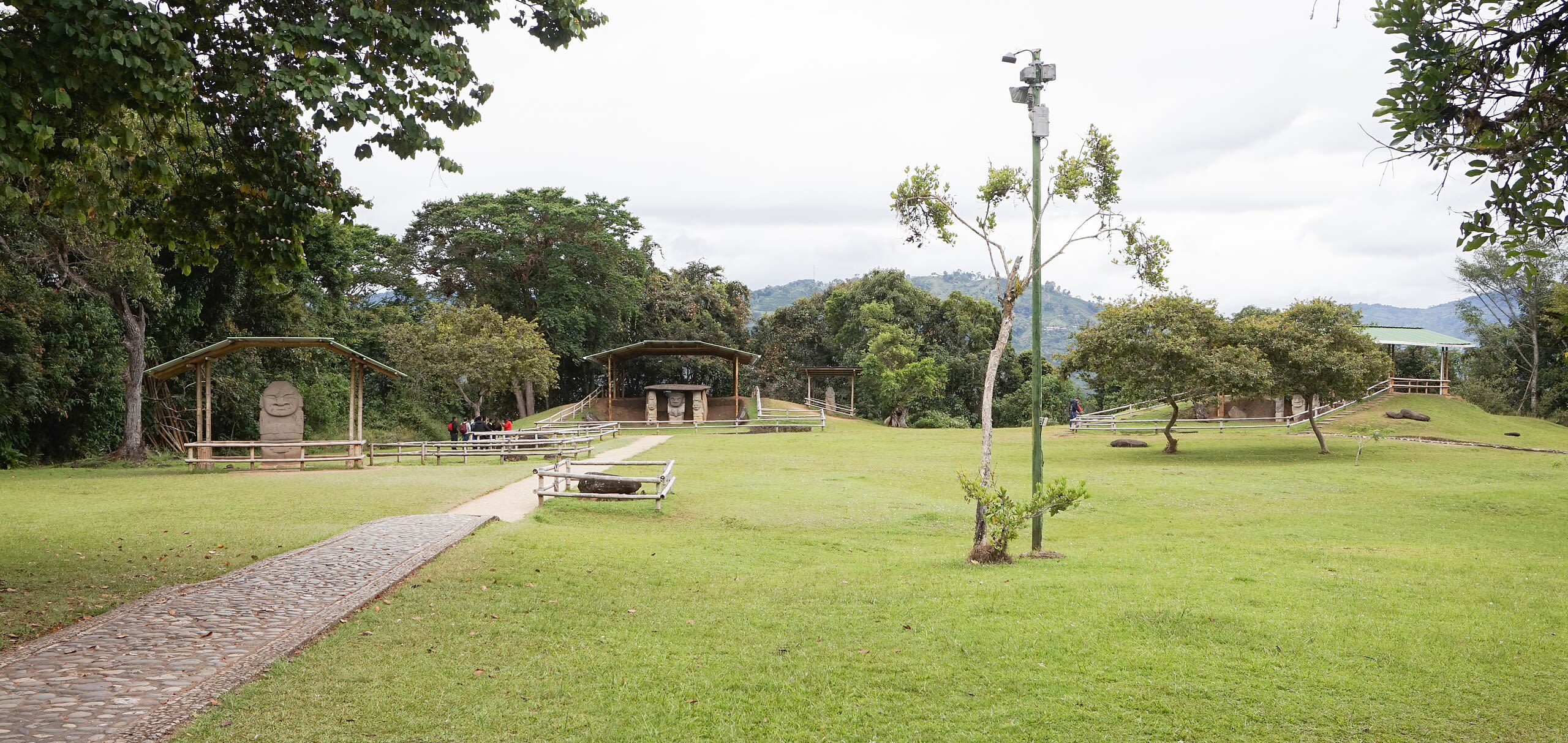
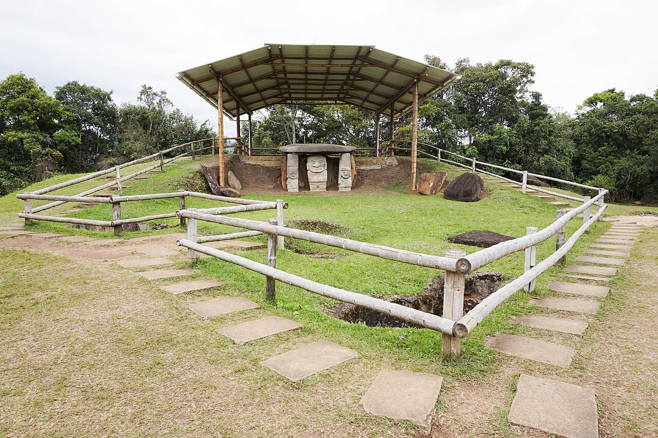
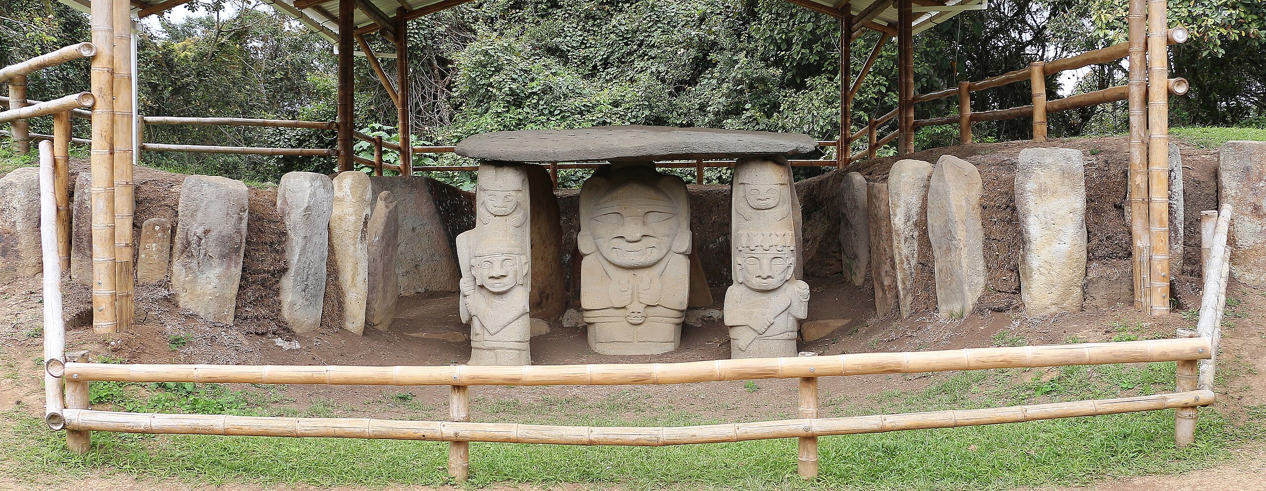
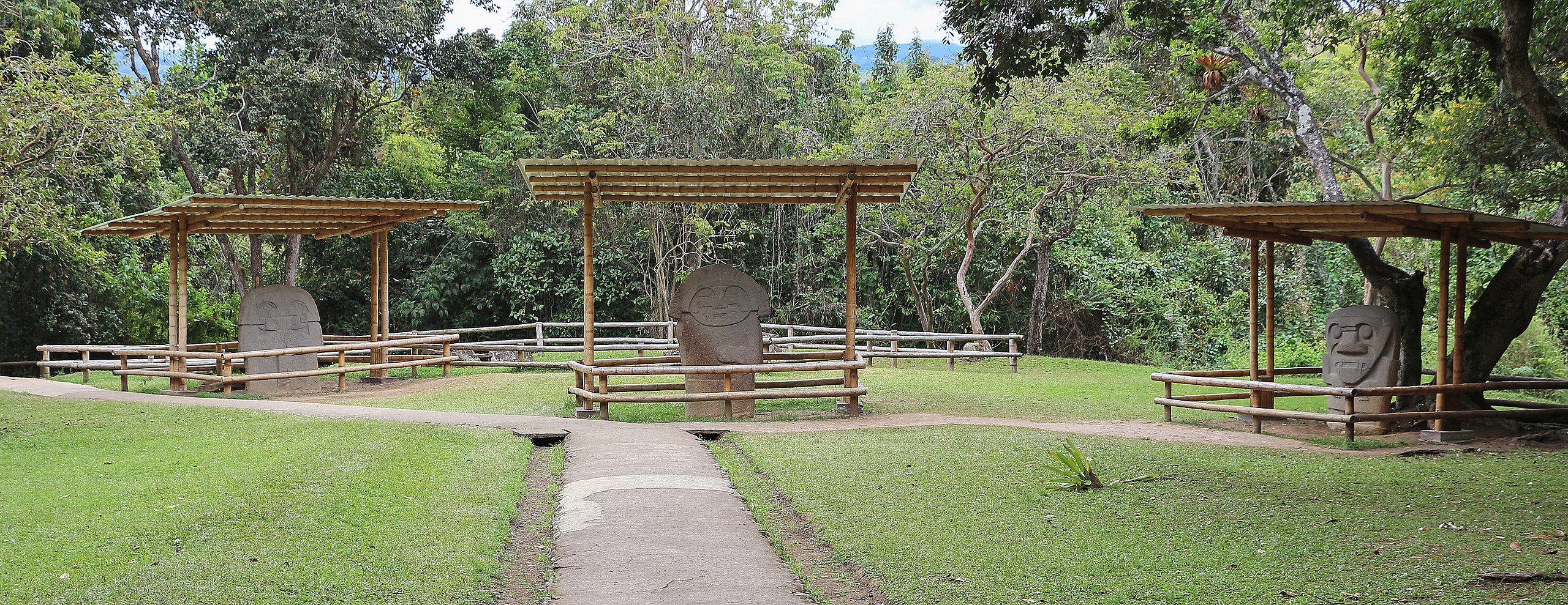
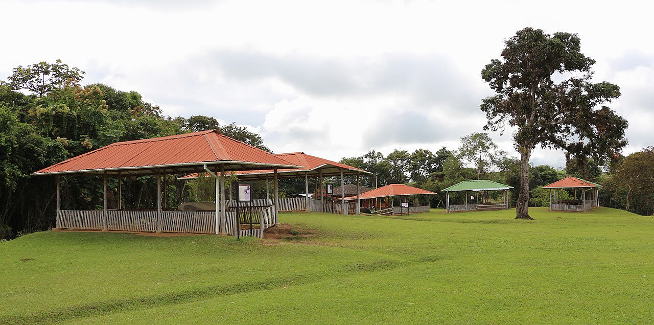
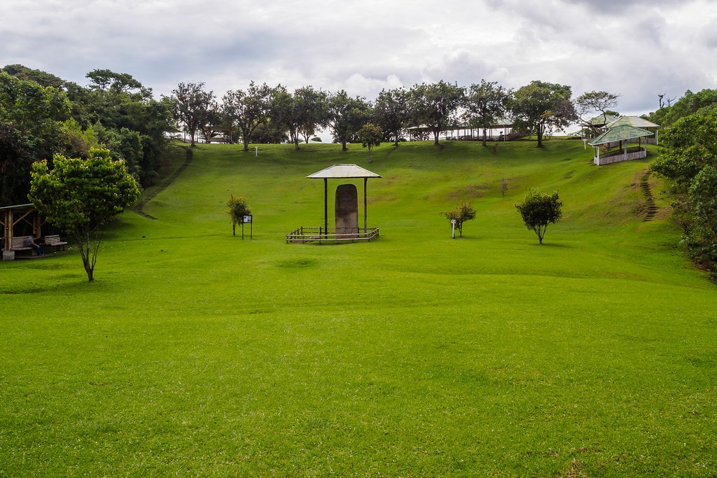
San Agustín Archaeological Park
Huila, Huila, Colombia
San Agustín Archaeological Park in Huila, Huila, Colombia.
San Augustin Terrace A
Huila, Huila, Colombia
San Augustin Terrace A in Huila, Huila, Colombia.
San Augustin Terrace B
Huila, Huila, Colombia
San Augustin Terrace B in Huila, Huila, Colombia.
San Augustin Terrace C
Huila, Huila, Colombia
San Augustin Terrace C in Huila, Huila, Colombia.
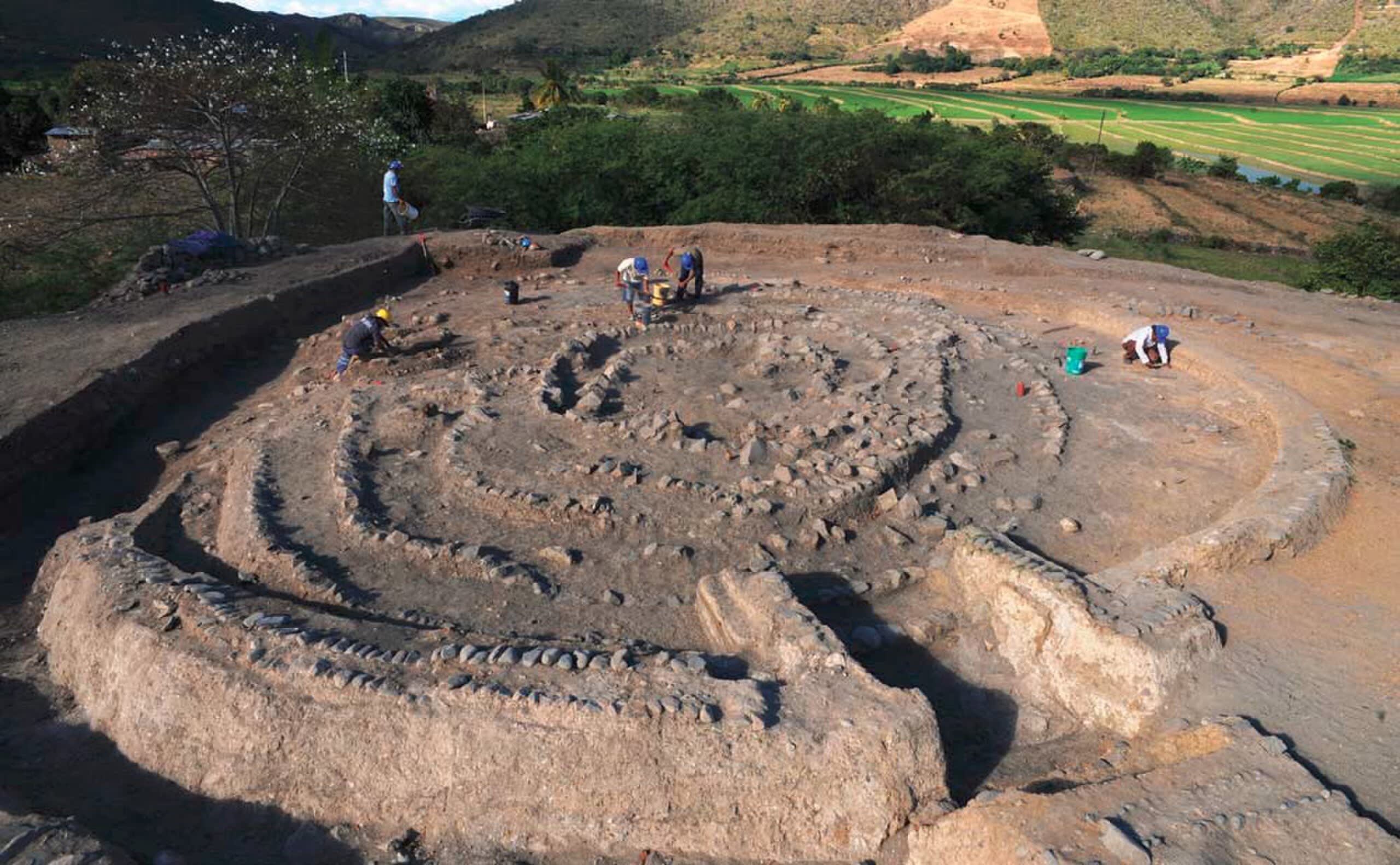
Sannai-Maruyama Site
Aomori, Aomori Prefecture, Japan
For seventeen centuries, the Jomon people lived at Sannai-Maruyama, cultivating chestnuts, trading jade across hundreds of kilometers, and building structures that still challenge our assumptions about prehistoric societies. The reconstructed six-pillar building towers 15 meters over the 42-hectare site, its purpose debated but its scale undeniable. Aligned burial rows and planned settlement layout reveal a community that understood sacred geography. This is not merely archaeology; this is encounter with 80 generations of human continuity.
Sayil Archaeological Zone
Santa Elena, Yucatán, Mexico
Sayil is a site of sacred significance. Approximate coordinates: 20.17457, -89.65187. Sayil was a pre-Columbian city built by the Maya people of the Terminal Classic period. It is located in the Mexican state of Yucatán, in the southwest of the state, south of Uxmal. Sayil, Kabah and Labna were incorporated together with Uxmal as a UNESCO World Heritage Site in 1996. Sayil flourished principally, albeit briefly, in the Terminal Classic period. The city reached its greatest extent c. 900 and had a population of 10,000 with an additional 5,000–7,000 living in the surrounding area. A number of badly damaged monuments suggest that Sayil was governed by a local royal dynasty, with wealth among lineages based, at least in part, upon control of the best agricultural lands. The ruins of Sayil include a prominent example of monumental Puuc style architecture, the partially ruined Grand Palace of Sayil. Located in Yucatán, Mexico.
Sito Archeologico Lu Brandali - Mostra di Archeologia Nuragica
Santa Teresa Gallura, Sardegna, Italia
Sito Archeologico Lu Brandali - Mostra di Archeologia Nuragica in Santa Teresa Gallura, Sardegna, Italia.
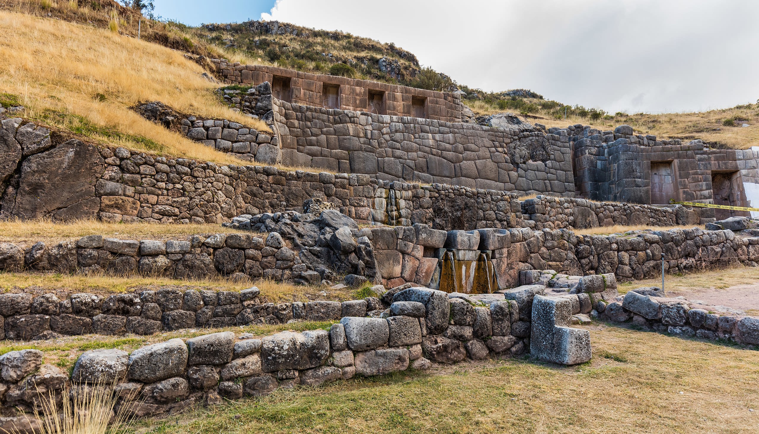
Tambomachay Archaeological Complex
Cuzco, Cusco, Peru
Tambomachay is a site of sacred significance. Approximate coordinates: -13.47999, -71.96639. Tambomachay (possibly from Quechua tampu inn, guest house, mach ay cave, or machay drunkenness, to get drunk or spindle with thread ) is an archaeological site associated with the Inca Empire, located near Cusco, Peru. An alternate Spanish name is El Baño del Inca ( the bath of the Inca ). It consists of a series of aqueducts, canals and waterfalls that run through the terraced rocks. It is situated near springs such as the one called Timpuc Puquiu, a boiling spring on the northern bank of the Timpuc River and the spring near Huaylla Cocha community. These natural springs were channeled through three waterfalls that still flow today. The function of the site is uncertain: it may have served as a military outpost guarding the approaches to Cusco, as a spa resort for the Incan political elite or imperial baths. It could have also served a religious function since sacred water fountains were found almost all of major Incan temple such as Pisac, Ollantaytambo, and Machu Picchu. There are sources that refer to Tambomachay as one of the nine ceques built along the Road of Antisuyu, describing it as an Incan house where sacrifices were also made. Located in Distrito de Cusco, Cusco, Peru.
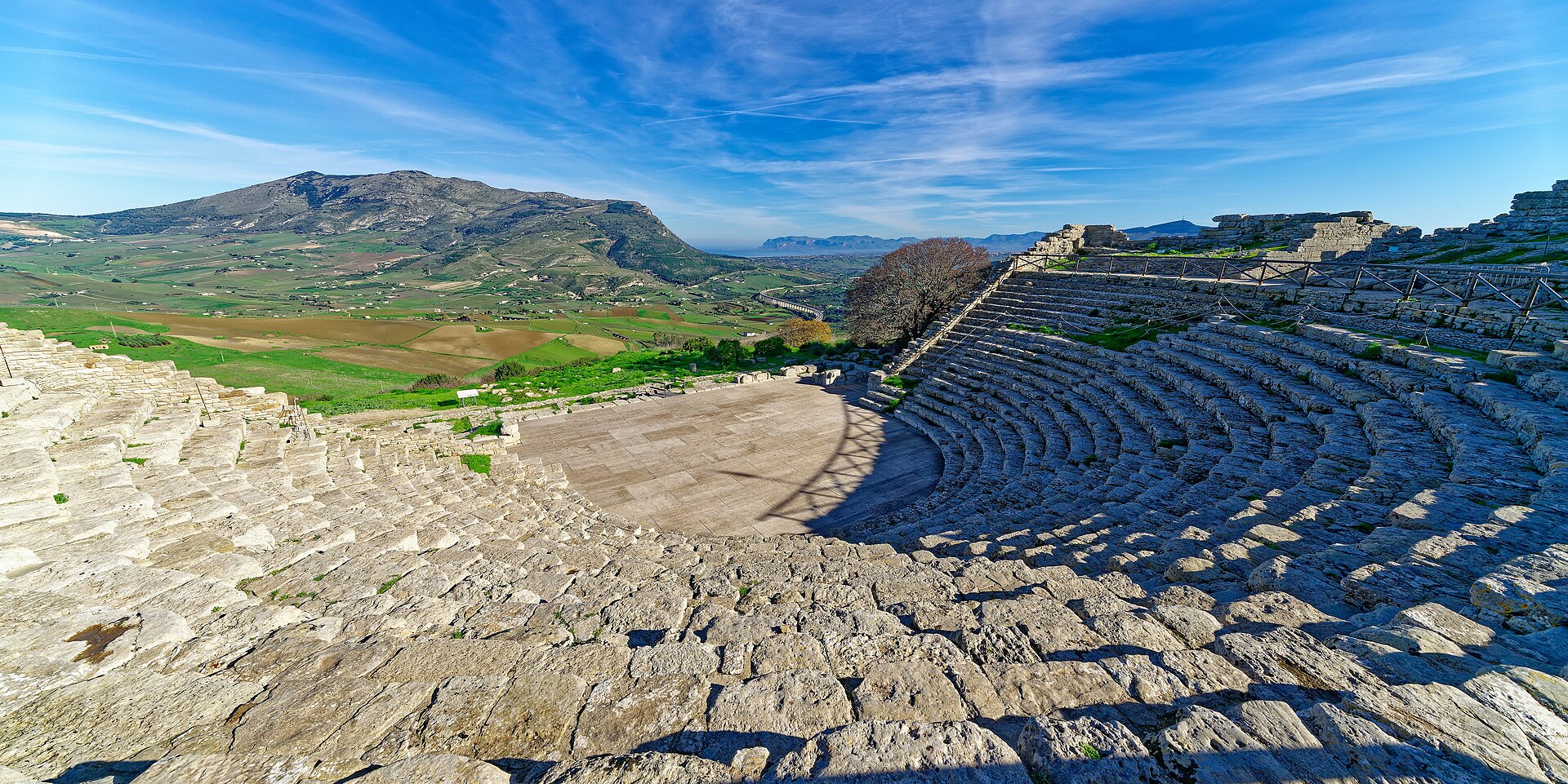
Teatro di Segesta
Calatafimi-Segesta, Sicilia, Italia
Teatro di Segesta in Calatafimi-Segesta, Sicilia, Italia.
The Archaeological Park of Alto de las Piedras
Huila, Huila, Colombia
The Archaeological Park of Alto de las Piedras in Huila, Huila, Colombia.
The Archaeological Park of Alto de los Ídolos
Huila, Huila, Colombia
The Archaeological Park of Alto de los Ídolos in Huila, Huila, Colombia.
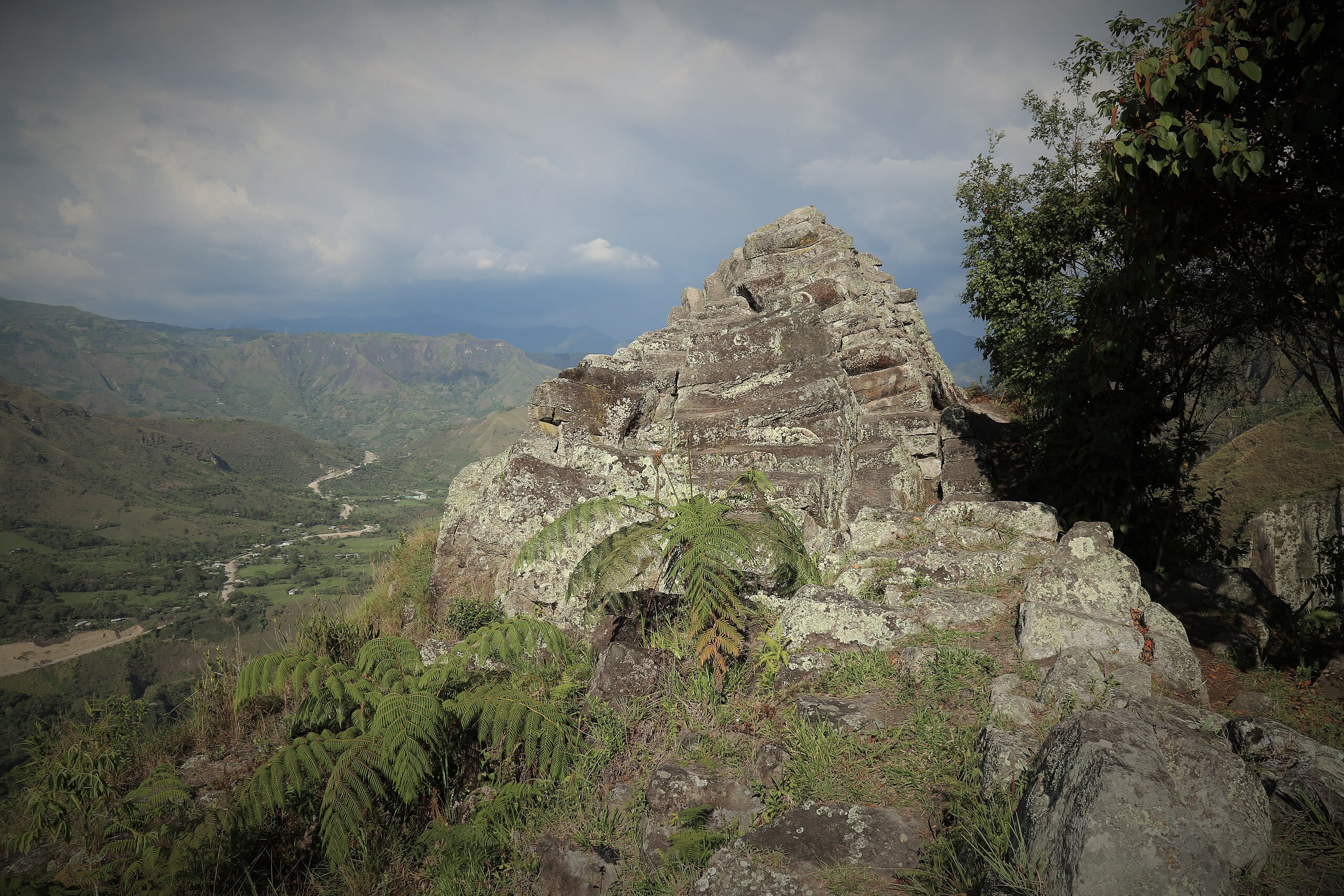
Tierradentro Pyramid
Inza, Cauca, Colombia
Tierradentro Pyramid in Inza, Cauca, Colombia.
Tiwanaku Archaeological Site
Tiwanaku, La Paz, Bolivia
Tiwanaku Archaeological Site in Tiwanaku, La Paz, Bolivia.
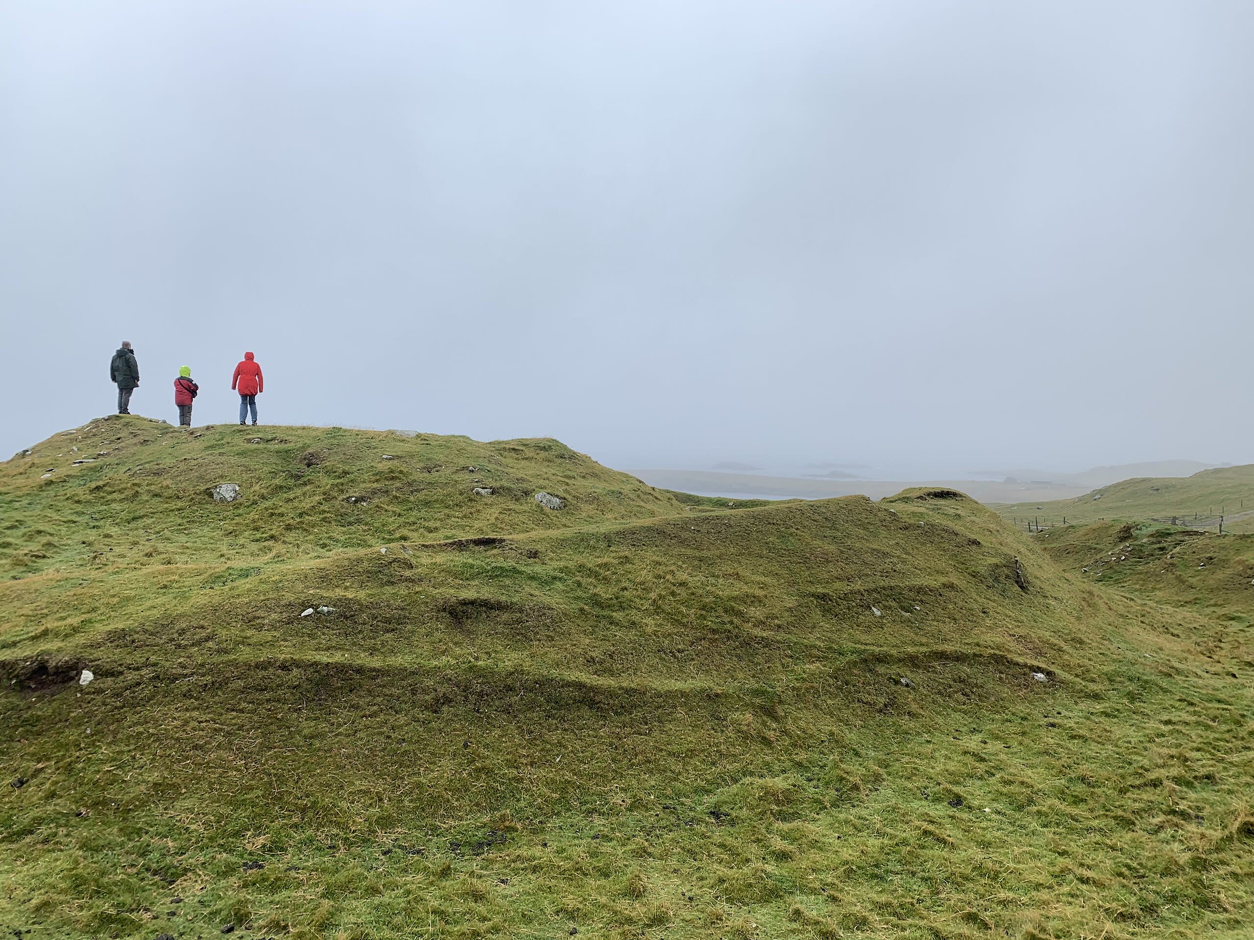
Underhoull Longhouse
Baltasound, Alba / Scotland
Underhoull Longhouse in Baltasound, , Alba / Scotland.
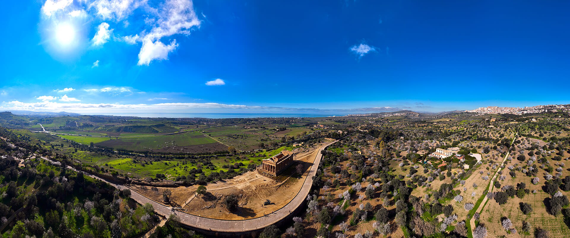
Valle dei Templi
Agrigento, Sicilia, Italia
Valle dei Templi in Agrigento, Sicilia, Italia.
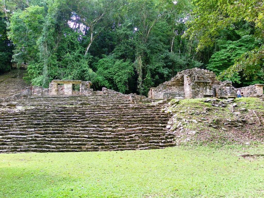
Yaxchilan Archaeological Zone
Ocosingo, Chiapas, Mexico
Yaxchilan is a site of sacred significance. Approximate coordinates: 16.90016, -90.96714. Yaxchilan (pronounced [ʝaʃtʃiˈlan]) is an ancient Maya city located on the bank of the Usumacinta River in the state of Chiapas, Mexico. In the Late Classic Period Yaxchilan was one of the most powerful Maya states along the course of the Usumacinta River, with Piedras Negras as its major rival. Architectural styles in subordinate sites in the Usumacinta region demonstrate clear differences that mark a clear boundary between the two kingdoms. Yaxchilan was a large center, important throughout the Classic era, and the dominant power of the Usumacinta River area. It dominated such smaller sites as Bonampak, and had a long rivalry with Piedras Negras and at least for a time with Tikal; it was a rival of Palenque, with which Yaxchilan warred in 654. The site is particularly known for its well-preserved sculptured stone lintels set above the doorways of the main structures. These lintels, together with the stelae erected before the major buildings, contain hieroglyphic texts describing the dynastic history of the city. Located in Chiapas, Mexico.
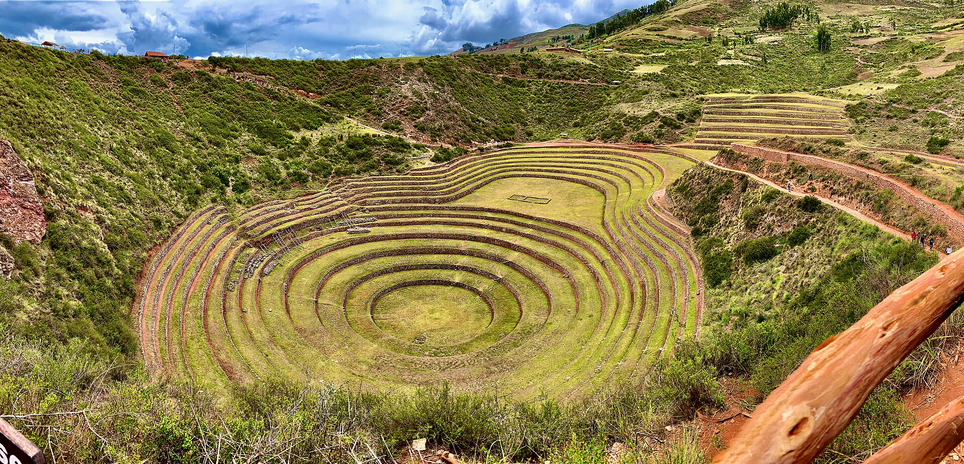
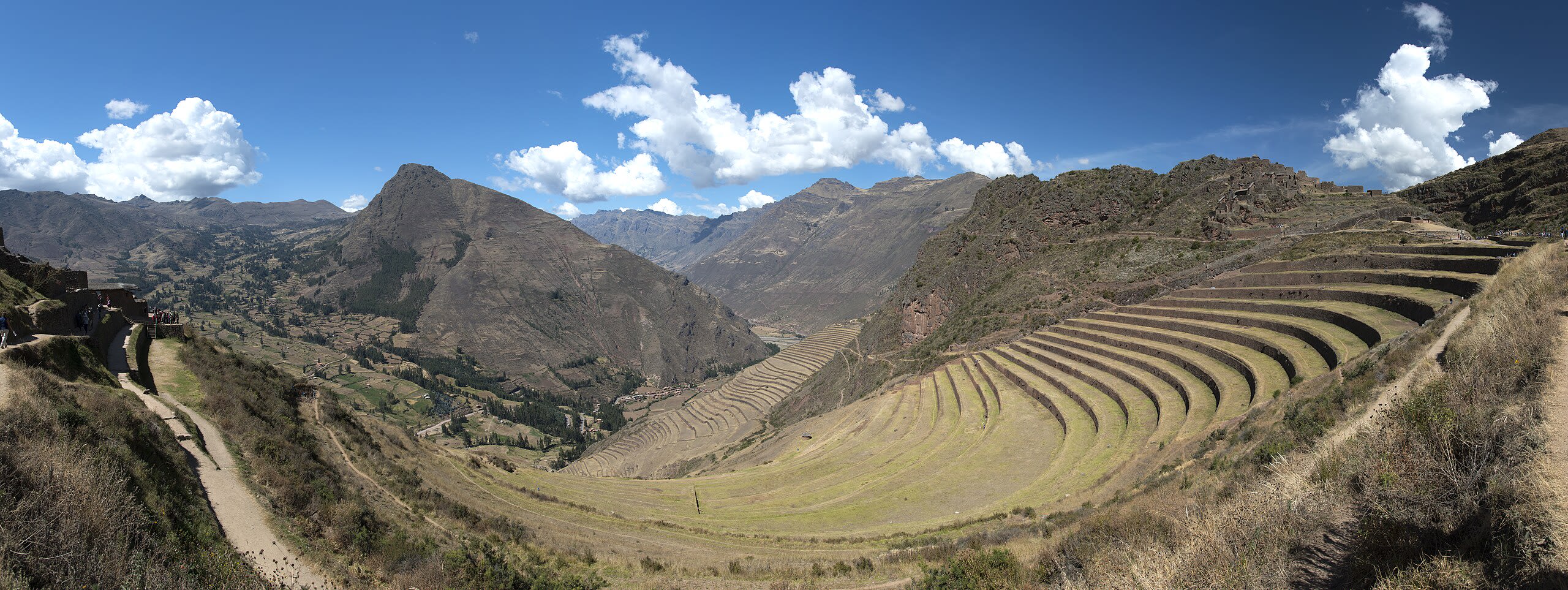
Zona Arqueologica Moray
Maras, Cusco, Peru
Zona Arqueologica Moray in Maras, Cusco, Peru.
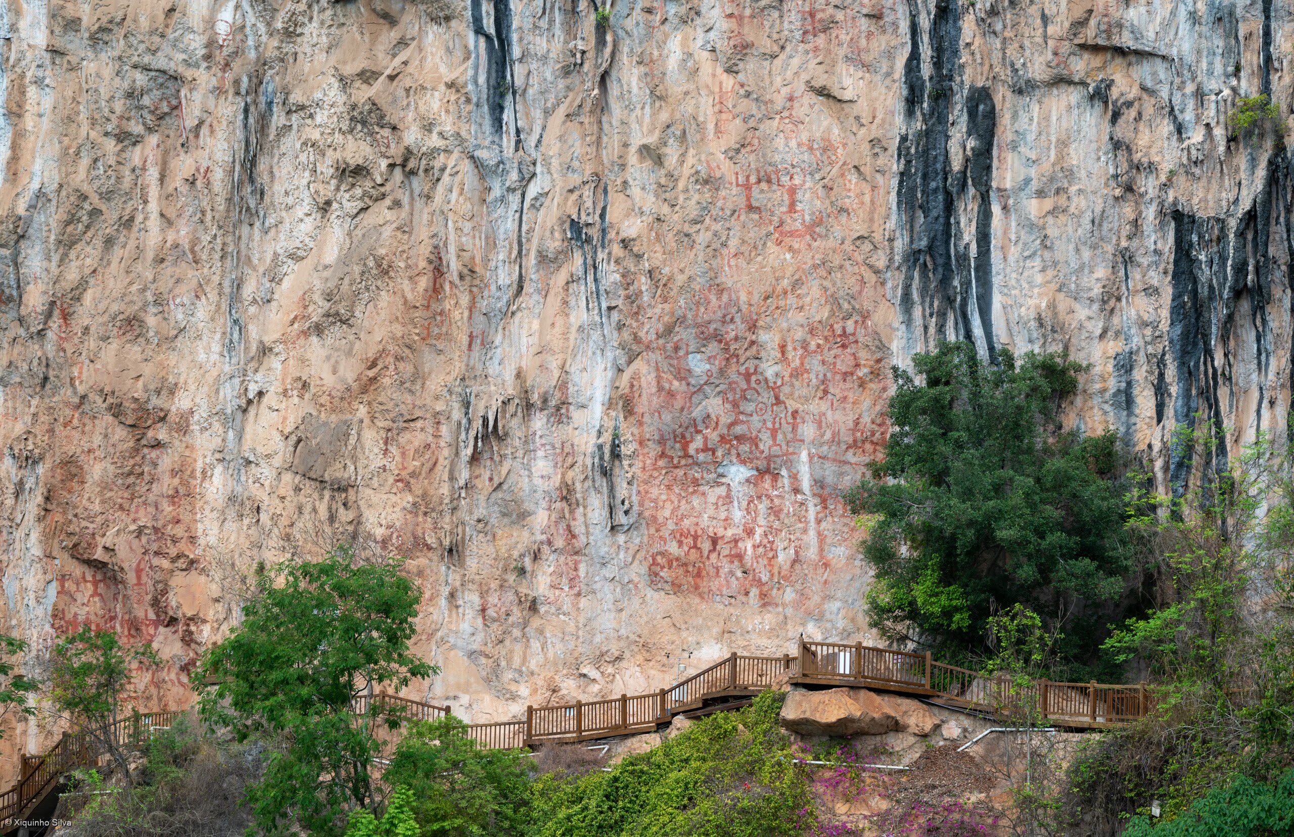
Zuojiang Huashan Rock Art
Guangxi, Guangxi, China
Zuojiang Huashan Rock Art in Guangxi, Guangxi, China.