Country guide
Ireland
29 sacred sites across 22 regions.
Traditions present in Ireland
Prominent site types
Ballymote-Tubbercurry Municipal District
1 sites
Boyle Municipal District
1 sites

Claremorris-Swinford Municipal District
1 sites
County Cork
1 sites
County Kildare
2 sites
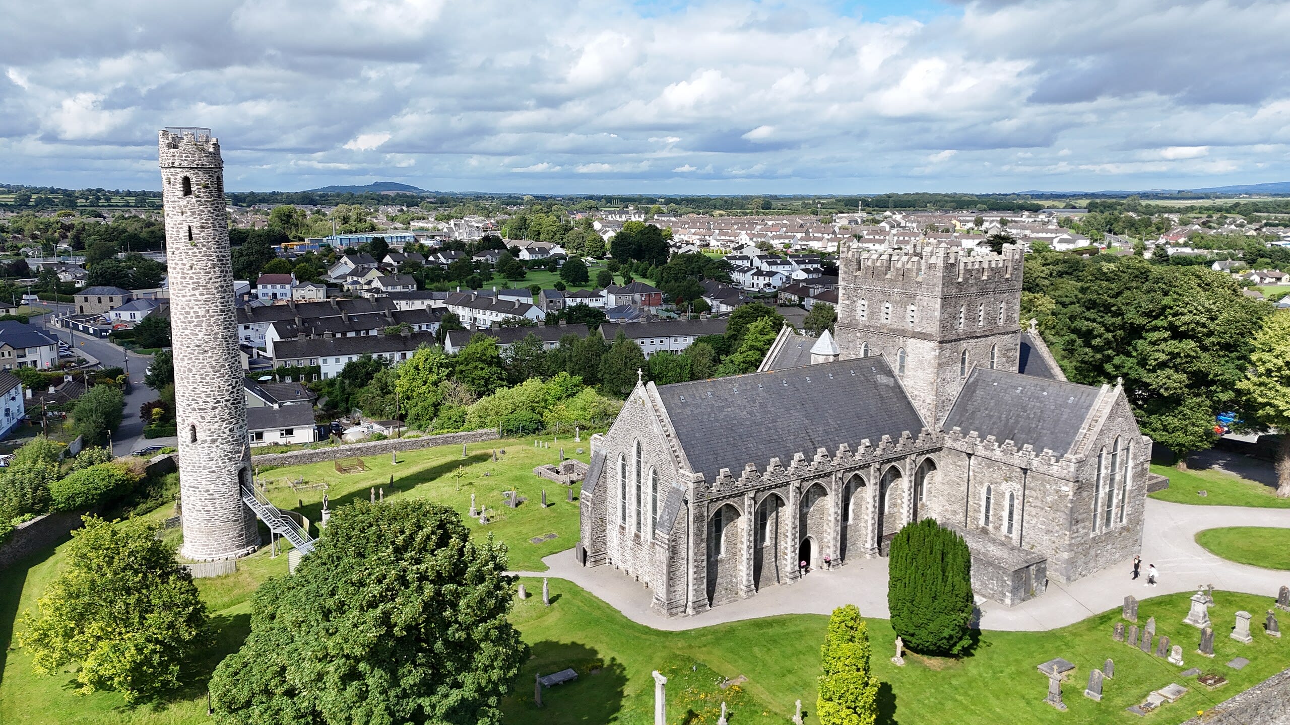
Kildare
Kildare, County Kildare, Ireland
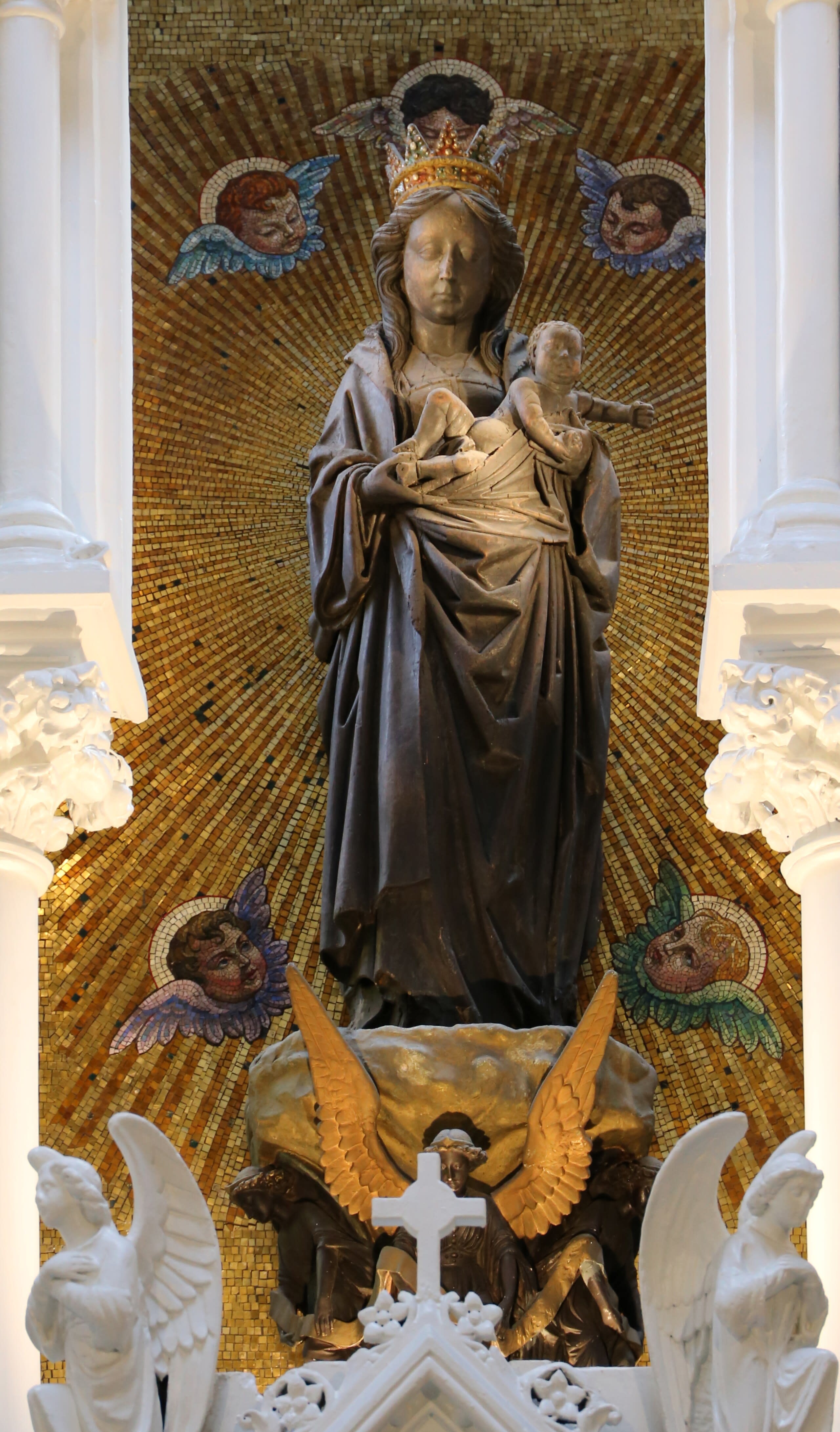
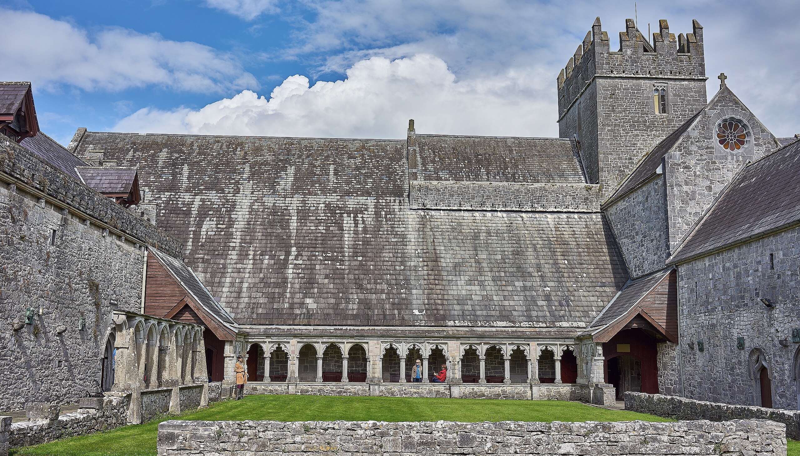
Kildare is a cathedral of sacred significance. Approximate coordinates: 53.15822, -6.91220. Attributes: built, cultural, pilgrimage. Tradition: Christianity. Associated figure: Saint Brigid of Kildare. Mythological context: Christian. Kildare (Irish: Cill Dara, meaning church of oak ) is a town in County Kildare, Ireland. As of 2022, its population was 10,302, making it the 7th largest town in County Kildare. It is home to Kildare Cathedral, historically the site of an important abbey said to have been founded by Saint Brigid of Kildare in the 5th century. The Curragh lies east of the town. The town lies on the R445, some 50 kilometres (31 mi) west of Dublin – near enough for it to have become, despite being a regional centre in its own right, a commuter town for the capital. Although Kildare gives its name to the county, Naas is the county town. Located in The Municipal District of Kildare — Newbridge, Éire / Ireland.
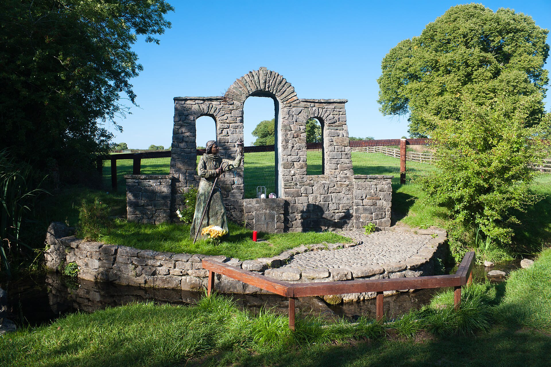
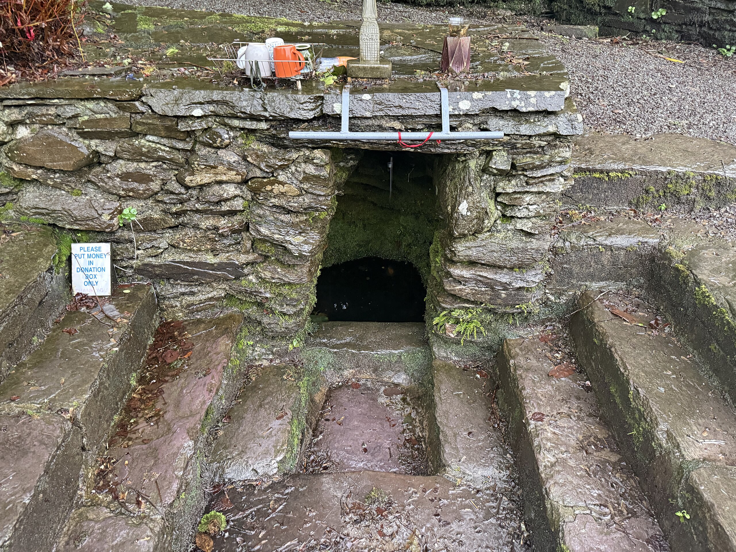
St. Brigid's Garden Well
Kildare, County Kildare, Ireland
Near the horse pastures of County Kildare, a natural spring rises from the earth in a garden tended by devotion. St. Brigid's Well has drawn pilgrims seeking healing for perhaps two thousand years—first in honor of a goddess, then of a saint who bears her name. Ribbons tied to the prayer tree flutter in the breeze, each one a prayer offered, a burden released, a blessing sought.
County Meath
2 sites

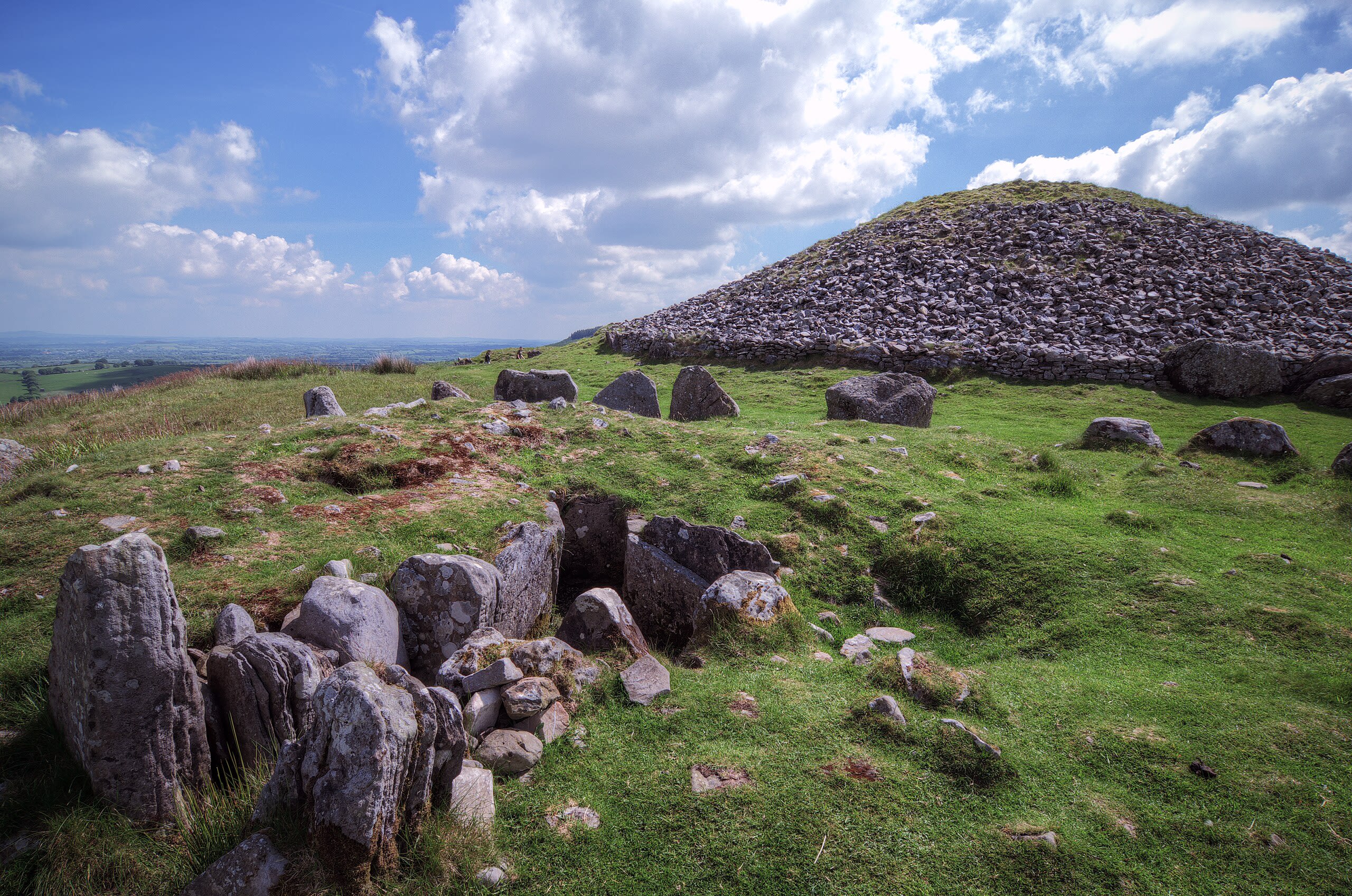
Newgrange
Donore, County Meath, Ireland
Newgrange is a site of sacred significance. Approximate coordinates: 53.69471, -6.47549. Newgrange (Irish: Sí an Bhrú) is a prehistoric monument in County Meath in Ireland, placed on a rise overlooking the River Boyne, eight kilometres (five miles) west of the town of Drogheda. It is an exceptionally grand passage tomb built during the Neolithic Period, around 3100 BC, making it older than Stonehenge and the Egyptian pyramids. Newgrange is the main monument in the Brú na Bóinne complex, a World Heritage Site that also includes the passage tombs of Knowth and Dowth, as well as other henges, burial mounds and standing stones. Newgrange consists of a large circular mound with an inner stone passageway and cruciform chamber. Burnt and unburnt human bones, and possible grave goods or votive offerings, were found in this chamber. The monument has a striking façade made mostly of white quartz cobblestones, and it is ringed by engraved kerbstones. Many of the larger stones of Newgrange are covered in megalithic art. The mound is also ringed by a stone circle. Some of the material that makes up the monument came from as far as the Mournes and Wicklow Mountains. There is no agreement about its purpose, but it is believed it had religious significance. It is aligned so that the rising sun on the winter solstice shines through a roofbox above the entrance and floods the inner chamber. Several other passage tombs in Ireland are aligned with solstices and equinoxes, and Cairn G at Carrowkeel has a similar roofbox . Newgrange shares similarities with some other Neolithic monuments in Western Europe; especially Gavrinis in Brittany, which has a similar preserved facing and large carved stones, Maeshowe in Orkney, with its large corbelled chamber, and Bryn Celli Ddu in Wales. Its initial period of use lasted around 1,000 years. Newgrange then gradually became a ruin, although the area continued to be a site of ritual activity. It featured in Irish mythology and folklore, in which it is said to be a dwelling of the deities, particularly The Dagda and his son Aengus. Antiquarians first began its study in the seventeenth century, and archaeological excavations began in the twentieth century. Archaeologist Michael O Kelly led the most extensive of these from 1962 to 1975 and also reconstructed the front of the monument, a reconstruction that is controversial. This included an inward-curving dark stone wall to ease visitor access. Newgrange is a popular tourist site and, according to archaeologist Colin Renfrew, is unhesitatingly regarded by the prehistorian as the great national monument of Ireland and as one of the most important megalithic structures in Europe. Located in The Municipal District of Laytown — Bettystown, Éire / Ireland.
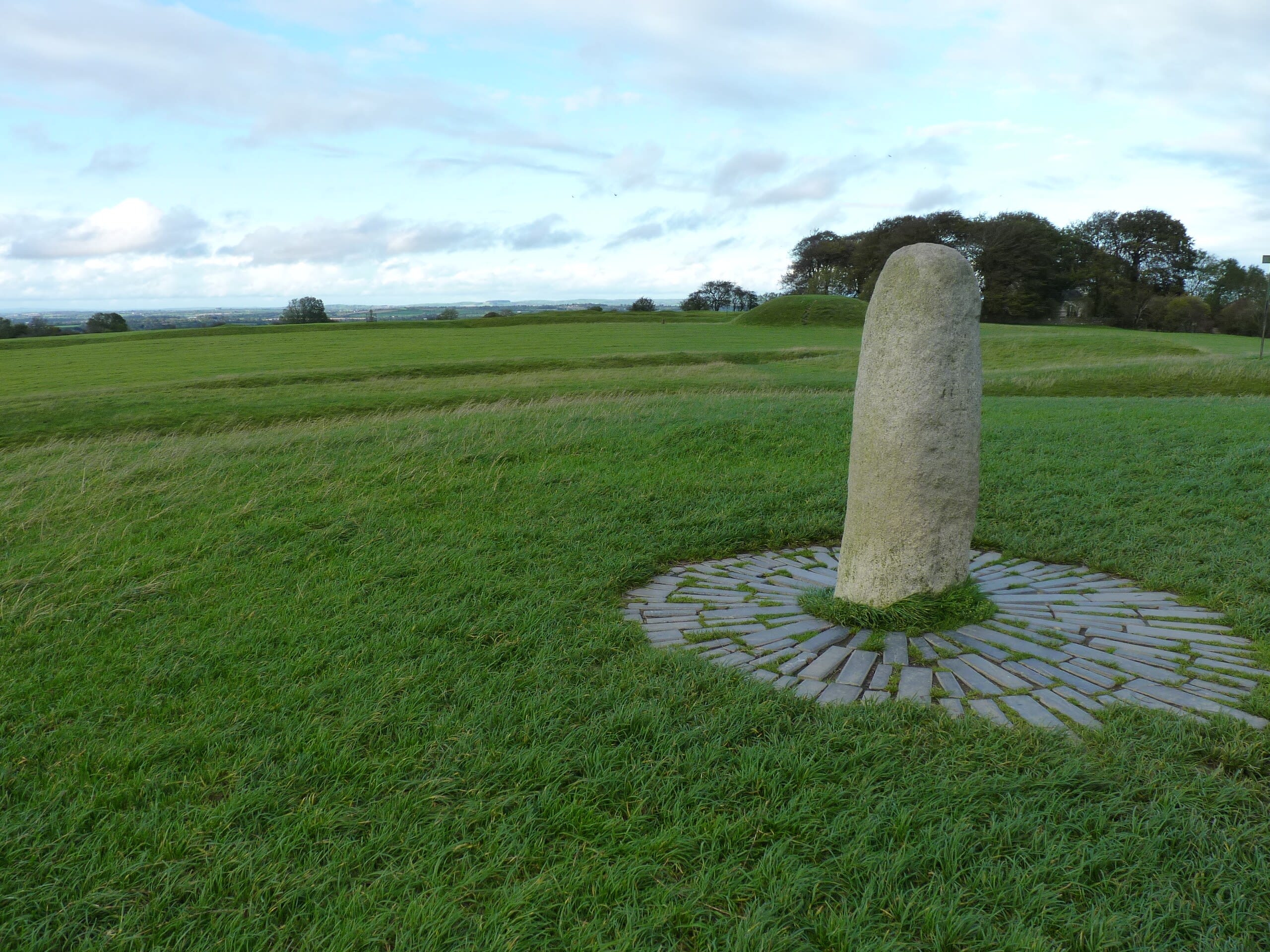
Stone Of Destiny
Navan, County Meath, Ireland
Stone Of Destiny in Navan, County Meath, Ireland.
County Roscommon
1 sites

County Westmeath
1 sites
Donegal Municipal District
2 sites
Lough Dergh
County Donegal, Donegal Municipal District, Ireland
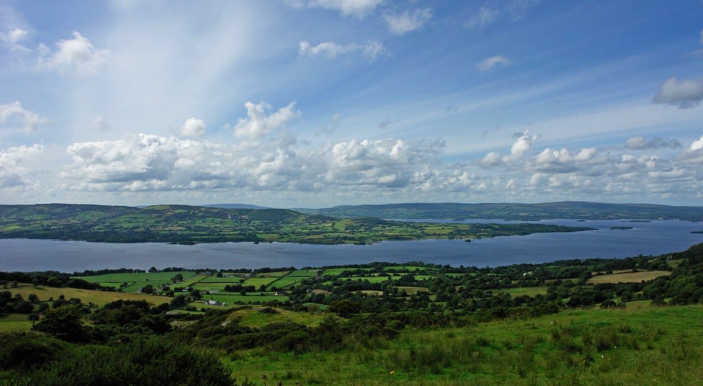
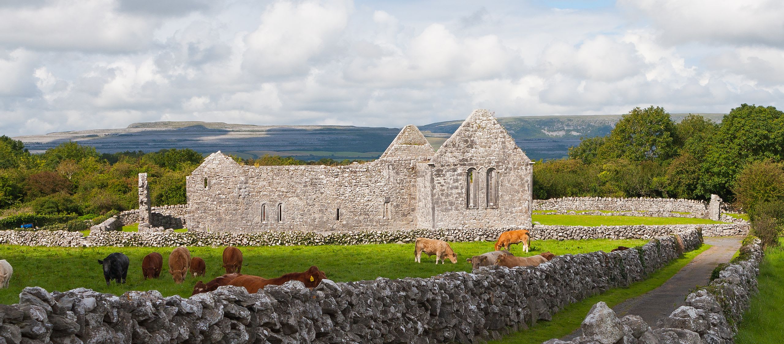
Lough Dergh is a site of sacred significance. Approximate coordinates: 54.60932, -7.87151. Located in Donegal Municipal District, Éire / Ireland.

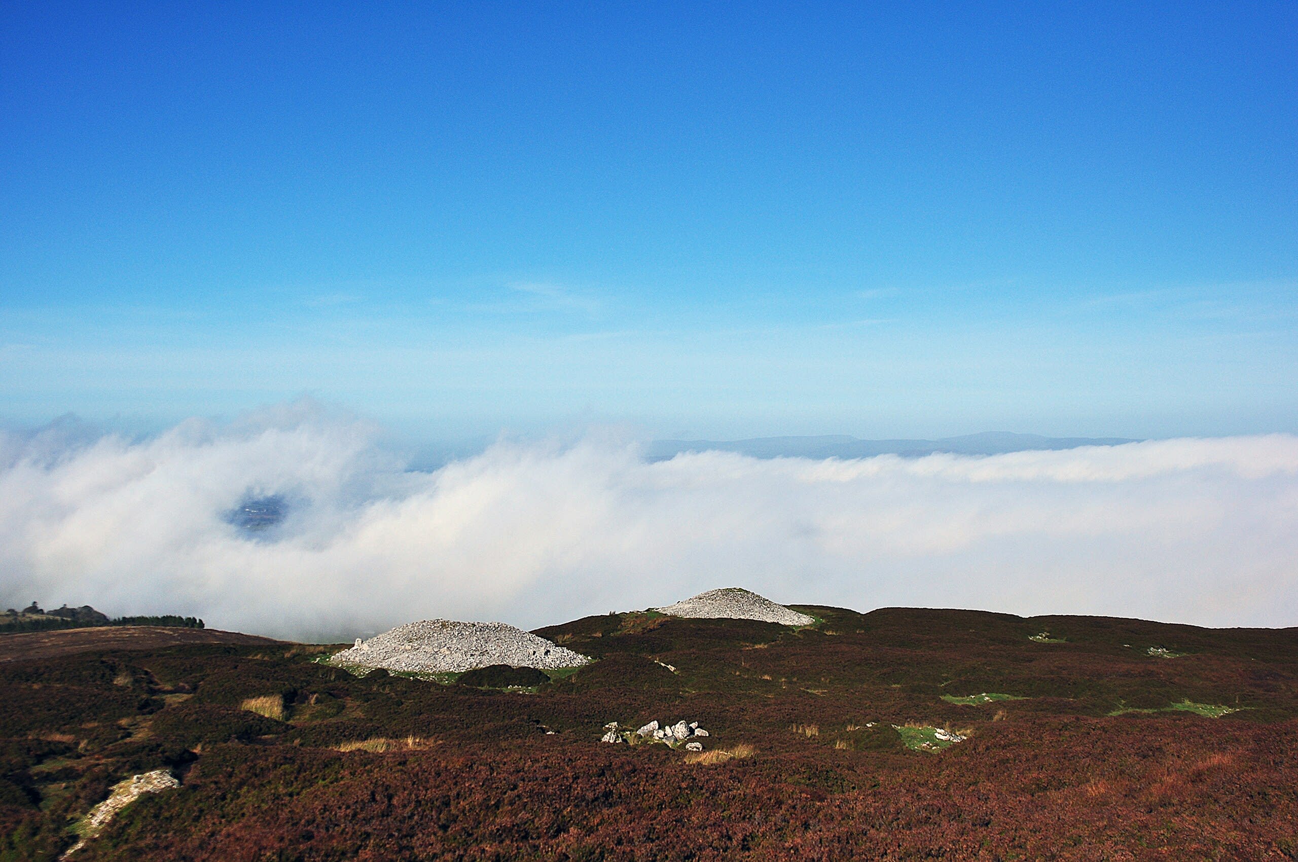
Slieve League, County Donegal, Ireland
County Donegal, Donegal Municipal District, Ireland
Slieve League, County Donegal, Ireland is a site of sacred significance. Approximate coordinates: 54.64009, -8.68220. Located in Donegal Municipal District, Éire / Ireland.
Glenties Municipal District
1 sites
Kenmare Municipal District
3 sites
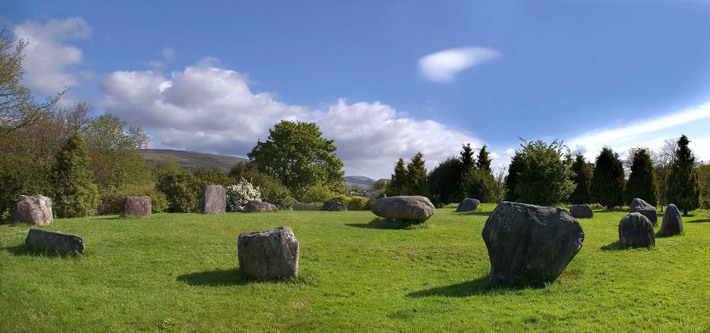
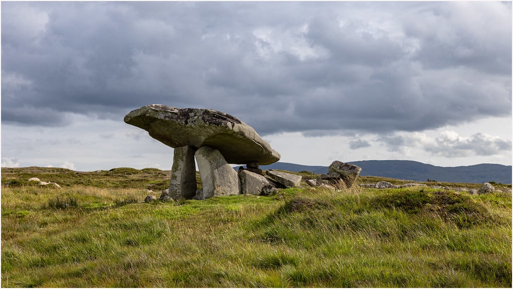
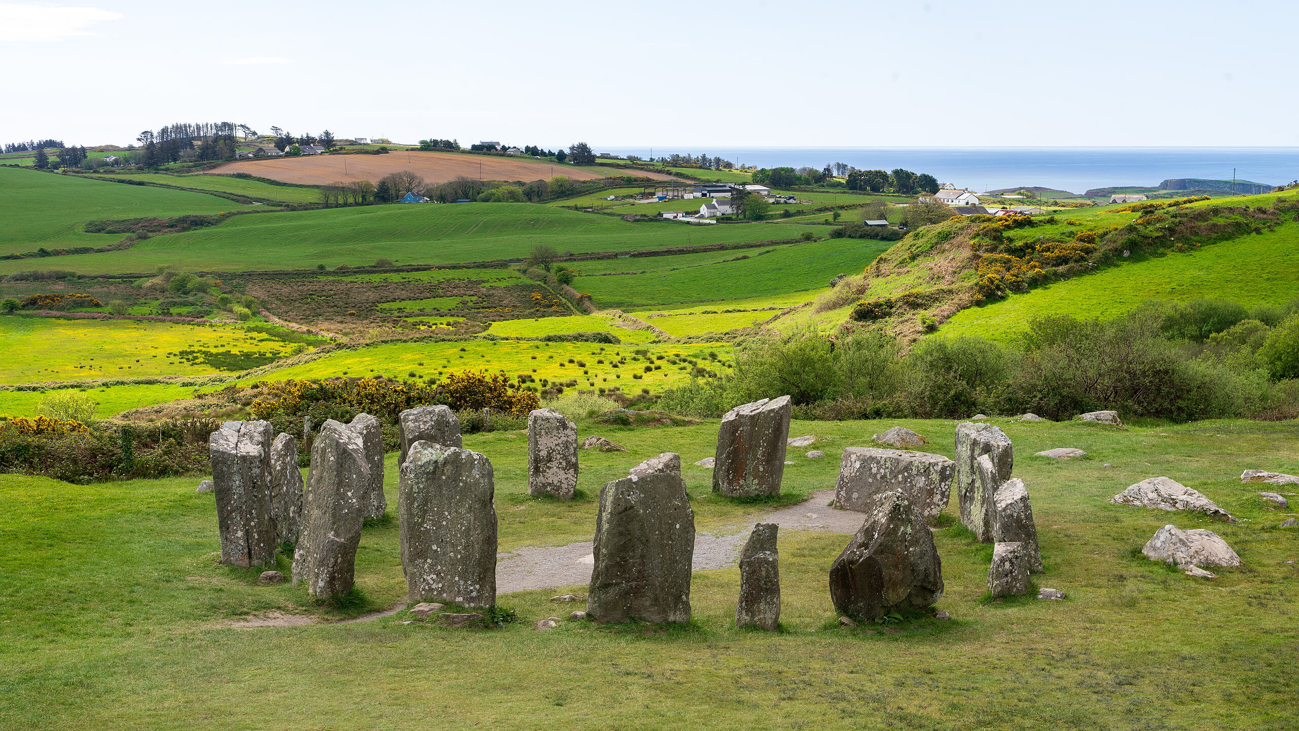
Kenmare Stone Circle, Kenmare, Ireland
Kenmare, Kenmare Municipal District, Ireland
Kenmare Stone Circle, Kenmare, Ireland is a stone circle of sacred significance. Approximate coordinates: 51.87847, -9.58813. Attributes: built, cultural, archaeological. Located in Kenmare Municipal District, Éire / Ireland.

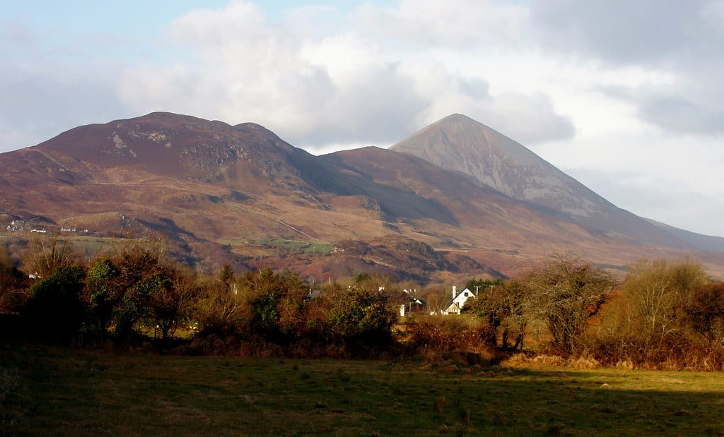
Mount Brandon, County Kerry, Ireland
County Kerry, Kenmare Municipal District, Ireland
Mount Brandon, County Kerry, Ireland is a site of sacred significance. Approximate coordinates: 52.23511, -10.25434. Located in Kenmare Municipal District, Éire / Ireland.
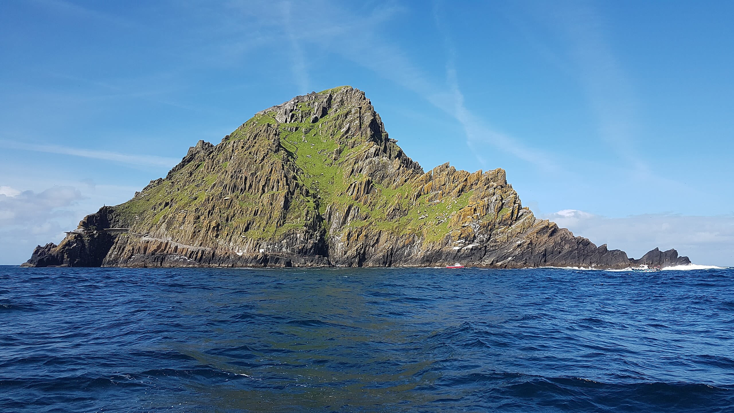
Skellig Michael
County Kerry, Kenmare Municipal District, Ireland
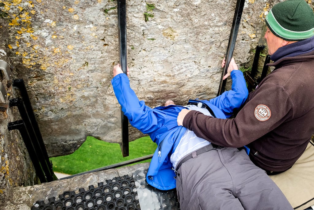
Skellig Michael is a site of sacred significance. Approximate coordinates: 51.77097, -10.54044. Skellig Michael (Irish: Sceilg Mhichíl [ˌʃcɛlʲəɟ ˈvʲɪçiːlʲ]), also called Great Skellig (Irish: Sceilig Mhór [ˈʃcɛlʲəɟ woːɾˠ]), is a twin-pinnacled crag 11.6 kilometres (7.2 mi) west of the Iveragh Peninsula in County Kerry, Ireland. The island is named after the archangel Michael, with Skellig derived from the Irish language word sceilig, meaning a splinter of stone. Its twin island, Little Skellig (Sceilig Bheag), is smaller and inaccessible (landing is not permitted). The two islands rose c. 374–360 million years ago during a period of mountain formation, along with the MacGillycuddy s Reeks mountain range. Later, they were separated from the mainland by rising water levels. Skellig Michael consists of approximately 22 hectares (54 acres) of rock, with its highest point, known as the Spit, 218 m (714 ft) above sea level. The island is defined by its twin peaks and intervening valley (known as Christ s Saddle), which make its landscape steep and inhospitable. It is best known for its Gaelic monastery, founded between the 6th and 8th centuries, and its variety of inhabiting species, which include gannets, puffins, a colony of razorbills and a population of approximately fifty grey seals. The island is of special interest to archaeologists, as the monastic settlement is in unusually good condition. The monastery is situated at an elevation of 170 to 180 m (550 to 600 ft), Christ s Saddle at 129 m (422 ft), and the flagstaff area at 37 m (120 ft) above sea level. The monastery can be approached by narrow and steep flights of stone steps which ascend from three landing points. The hermitage on the south peak contains a dangerous approach and is largely closed to the public. Because of the often difficult crossing from the mainland and the exposed nature of the landing spots, the island is accessible only during summer months. UNESCO designated Skellig Michael a World Heritage Site in 1996. Located in Kenmare Municipal District, Éire / Ireland.
Leinster
1 sites
Loughrea Municipal District
1 sites
Munster
1 sites
Sligo Municipal Borough District
3 sites
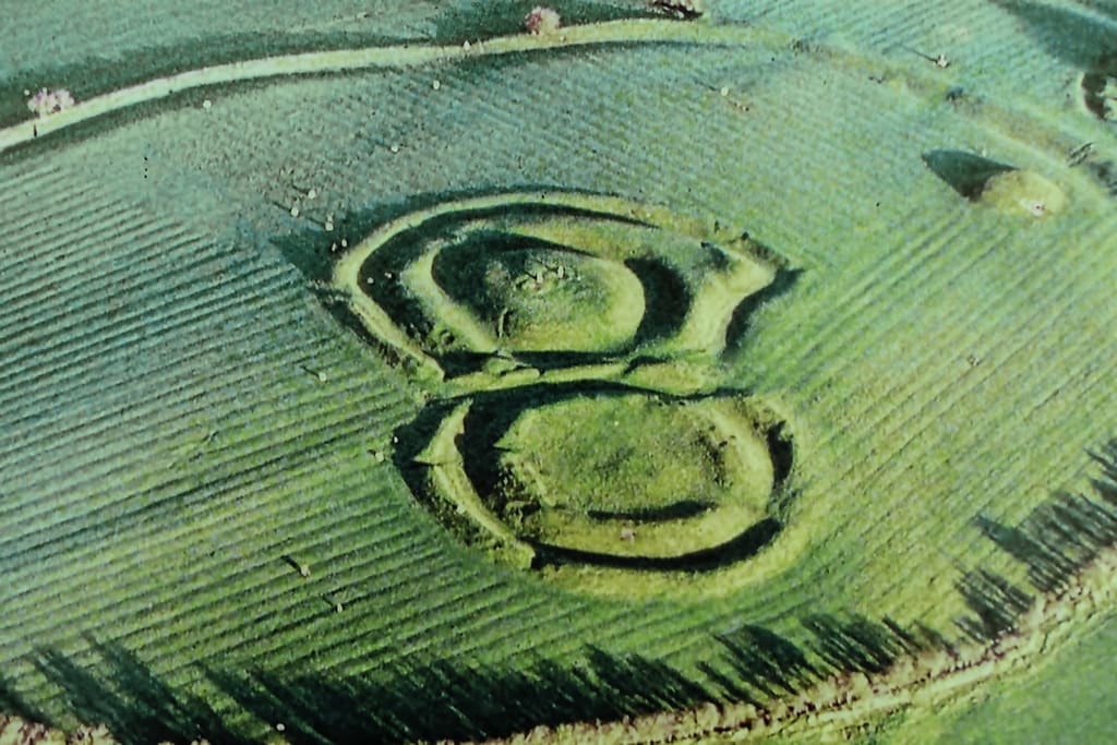
Carrowmore
County Sligo, Sligo Municipal Borough District, Ireland
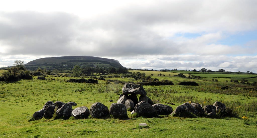
Carrowmore is a megalithic site of sacred significance. Approximate coordinates: 54.25081, -8.51932. Attributes: built, cultural, archaeological, ceremonial. Tradition: Neolithic. Carrowmore (Irish: An Cheathrú Mhór, the great quarter ) is a large group of megalithic monuments on the Coolera Peninsula to the west of Sligo, Ireland. They were built in the 4th millennium BC, during the Neolithic (New Stone Age). There are thirty surviving tombs, making Carrowmore one of the largest clusters of megalithic tombs in Ireland, and one of the big four along with Carrowkeel, Loughcrew and Brú na Bóinne. Carrowmore is the heart of an ancient ritual landscape which is dominated by the mountain of Knocknarea to the west. It is a protected National Monument. Located in Sligo Municipal Borough District, Éire / Ireland.
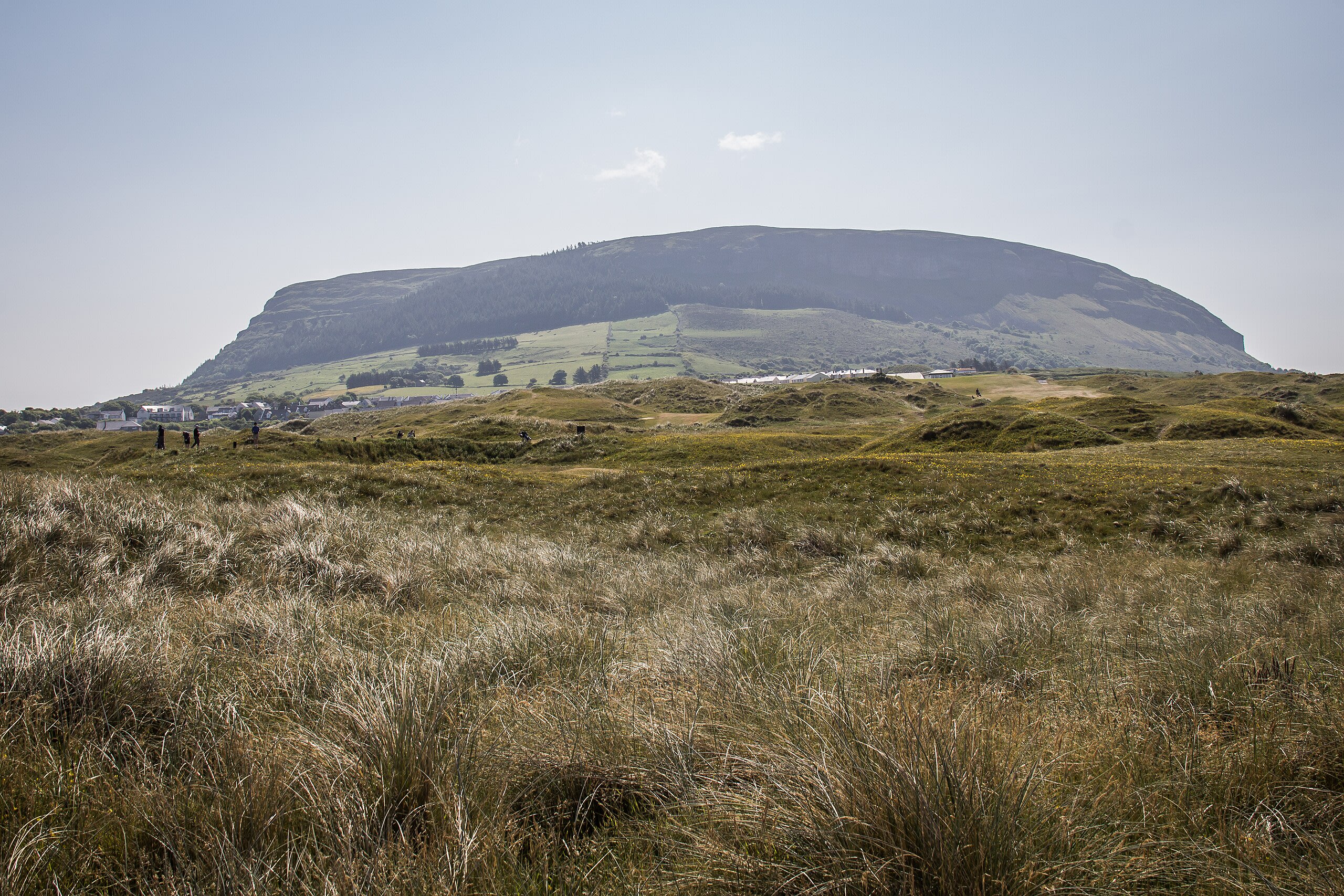
Knocknarea megalthic site, Sligo, Ireland
County Sligo, Sligo Municipal Borough District, Ireland
Knocknarea megalthic site, Sligo, Ireland is a megalithic of sacred significance. Approximate coordinates: 54.25876, -8.57450. Attributes: built, cultural, archaeological. Located in Sligo Municipal Borough District, Éire / Ireland.

Tobar Nalt
County Sligo, Sligo Municipal Borough District, Ireland
Tobar Nalt is a site of sacred significance. Approximate coordinates: 54.24391, -8.44601. Located in Sligo Municipal Borough District, Éire / Ireland.
The Borough District of Wexford
1 sites

The Municipal District of Ashbourne
1 sites
The Municipal District of Callan — Thomastown
1 sites
The Municipal District of Kells
1 sites
The Municipal District of Thurles
1 sites
West Cork
1 sites
Westport-Belmullet Municipal District
1 sites