At A Glance
- Coordinates
- 29.1996, 91.7664
Overview
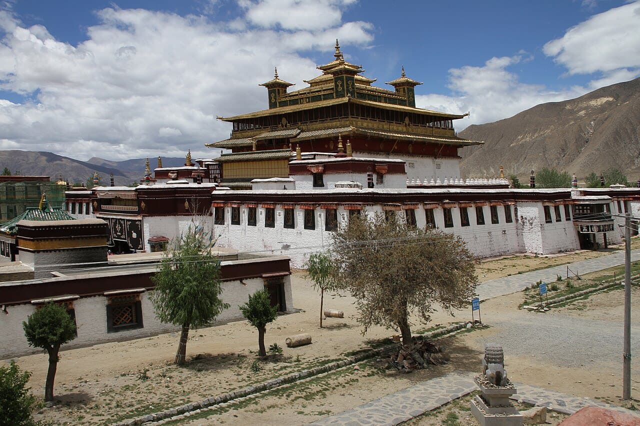
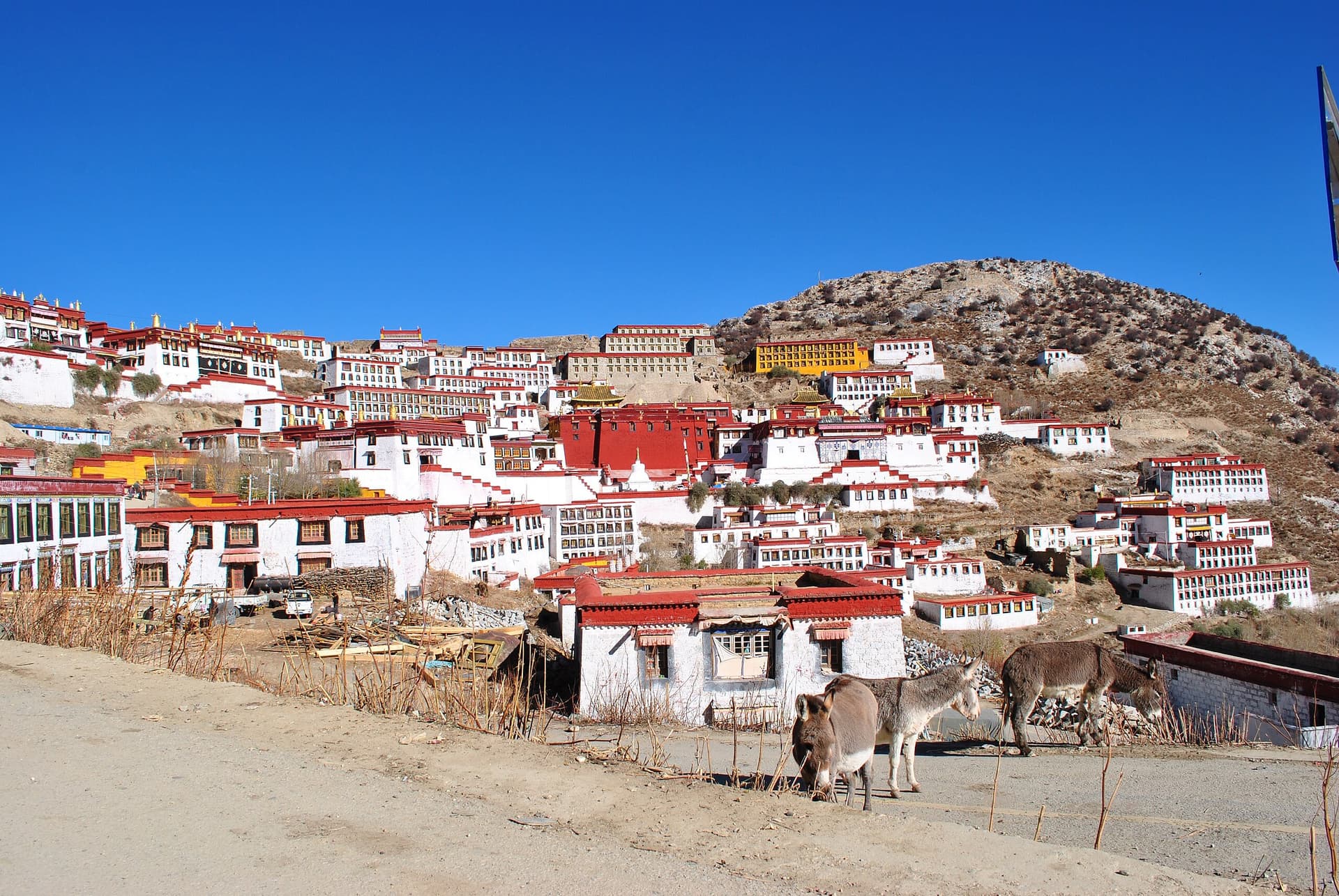
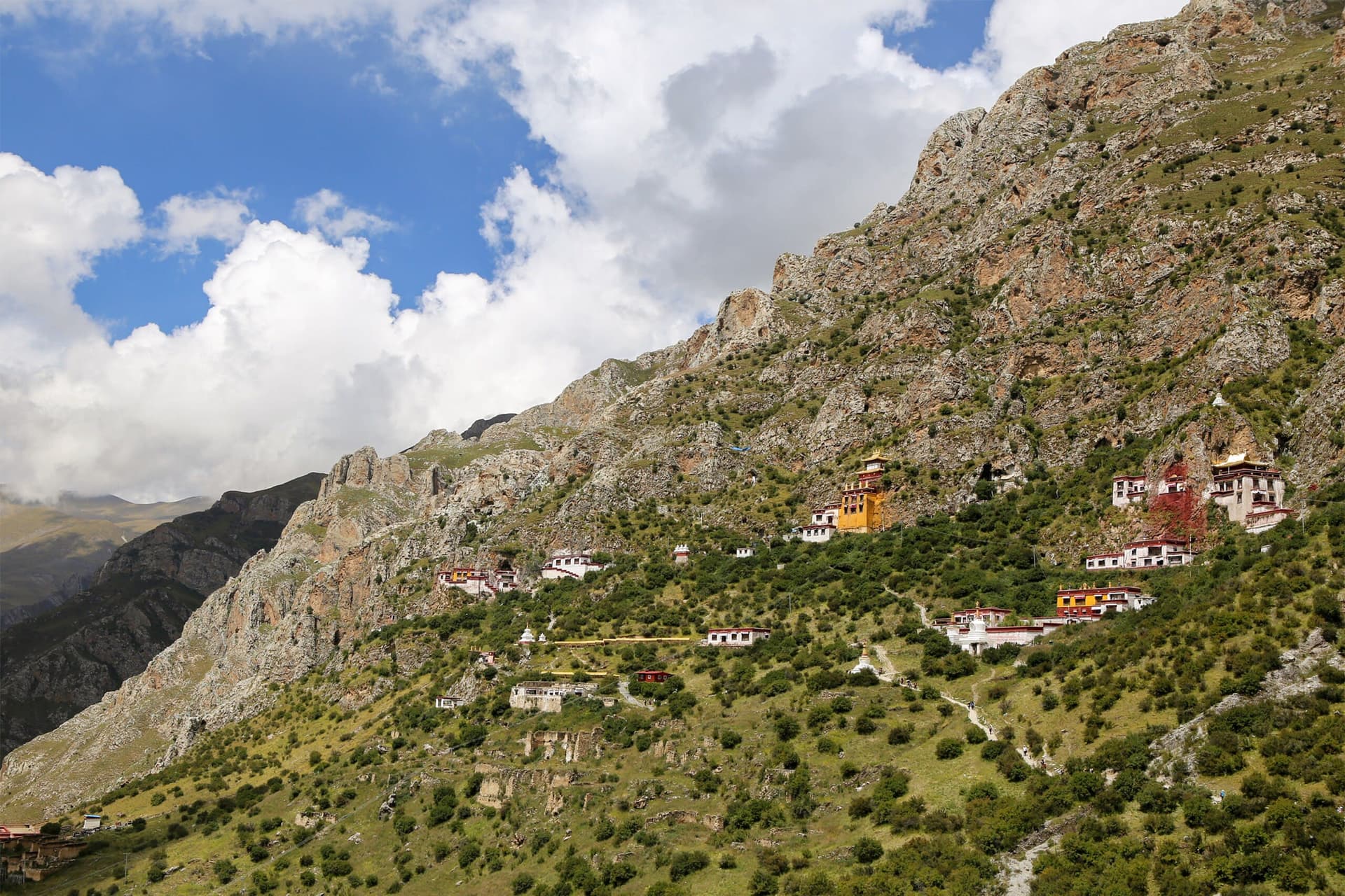
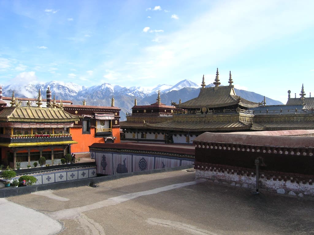
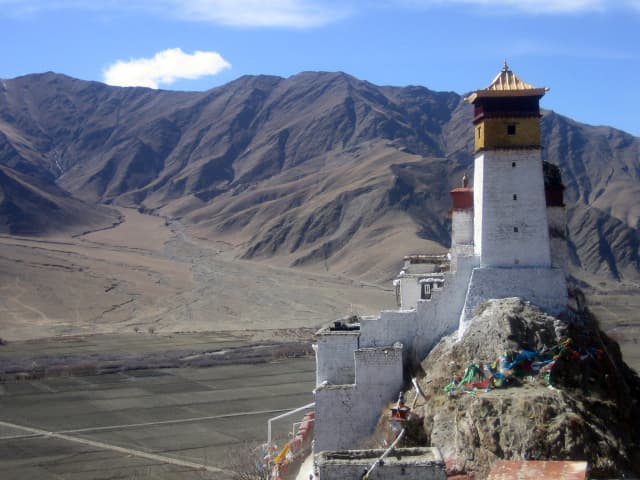
Yarlung Valley is a site of sacred significance. Approximate coordinates: 29.19956, 91.76644. The Yarlung Valley is formed by Yarlung Chu, a tributary of the Tsangpo River in the Shannan Prefecture in the Tibet autonomous region of China. It refers especially to the district where Yarlung Chu joins with the Chongye River, and broadens out into a large plain about 2 km wide, before it flows into the Tsangpo River. It is situated in Nedong District of the Shannan Prefecture and includes the capital of the prefecture, Tsetang, one of Tibet s largest cities, 183 km southeast of Lhasa. It was originally well-forested and suitable for agriculture. The Tsetang district is famous for its apples and pears. The Yarlung and the adjoining Chongye Valley formed the original seat of the Yarlung dynasty of Tibetan kings and controlled important ancient trade routes into India and Bhutan. The first Tibetan Emperor, Songtsen Gampo (605 or 617? - 649), moved the capital to Lhasa after greatly expanding his territories and power. Located in 昌珠镇, 西藏自治区 བོད་རང་སྐྱོང་ལྗོངས།, China.
Sacred Cluster
Nearby sacred places create the location cluster described in the growth plan. This block is intentionally crawlable and links into the wider regional graph.