At A Glance
- Coordinates
- 53.7153, -6.3525
Overview
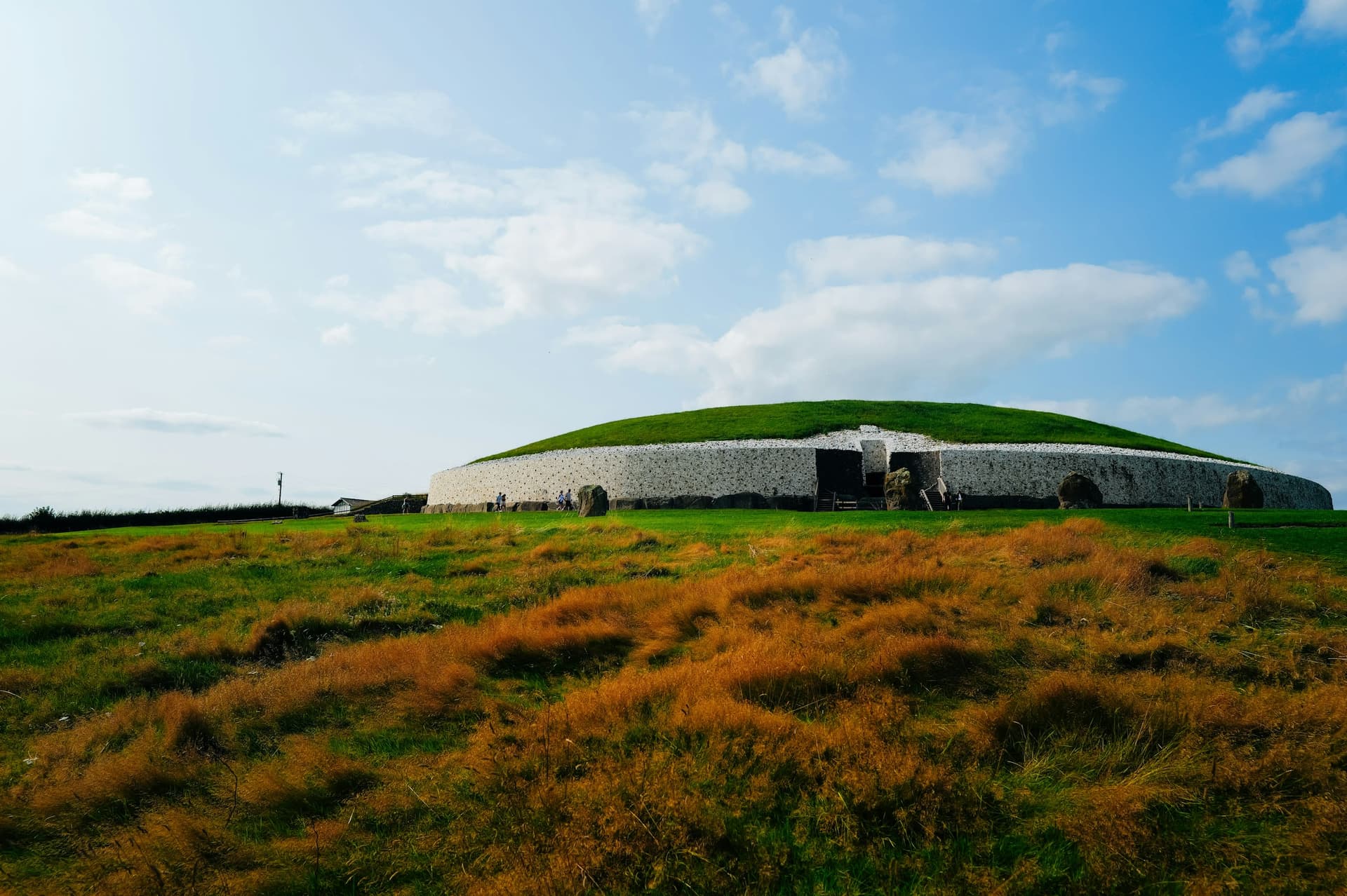
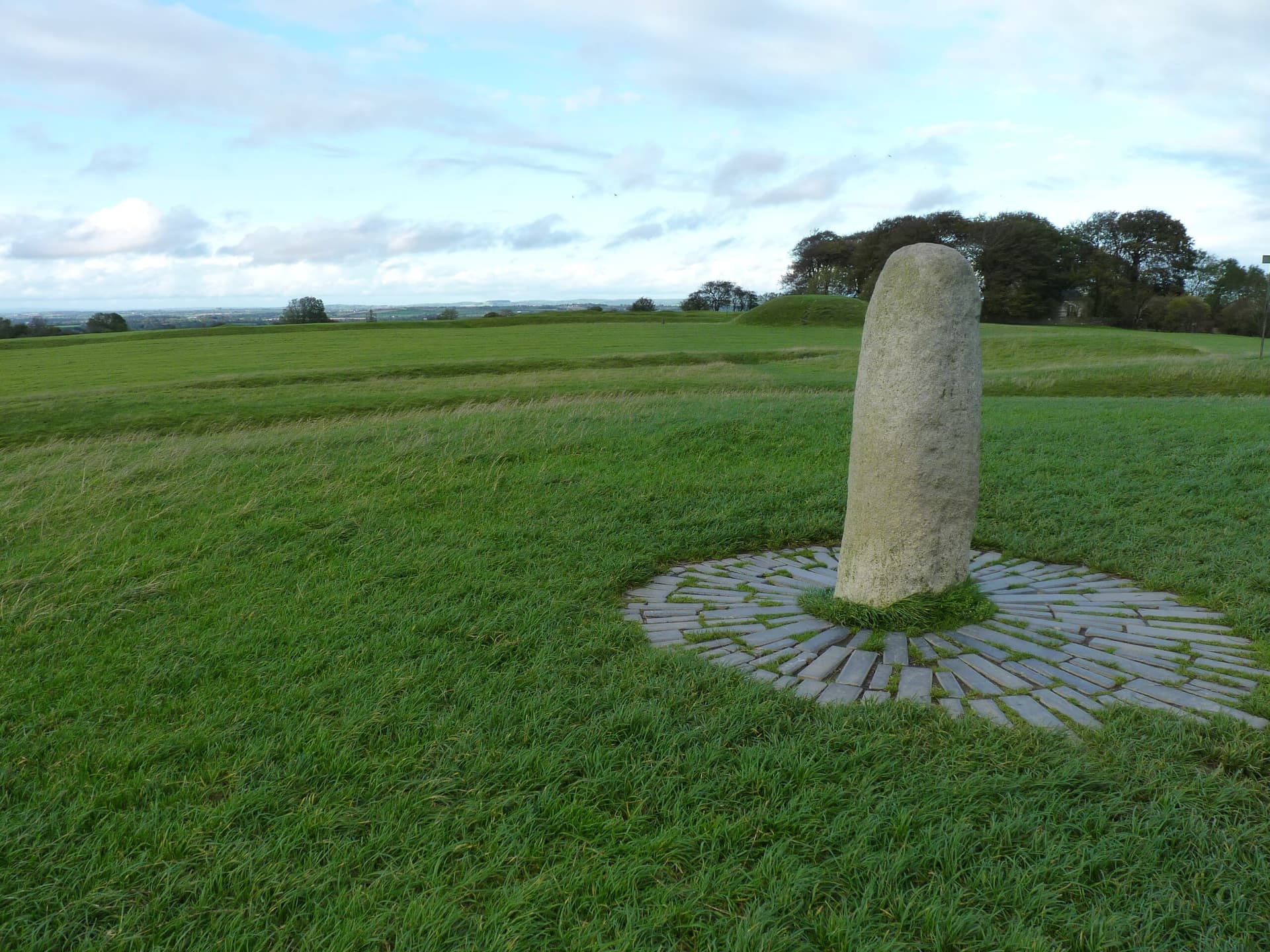
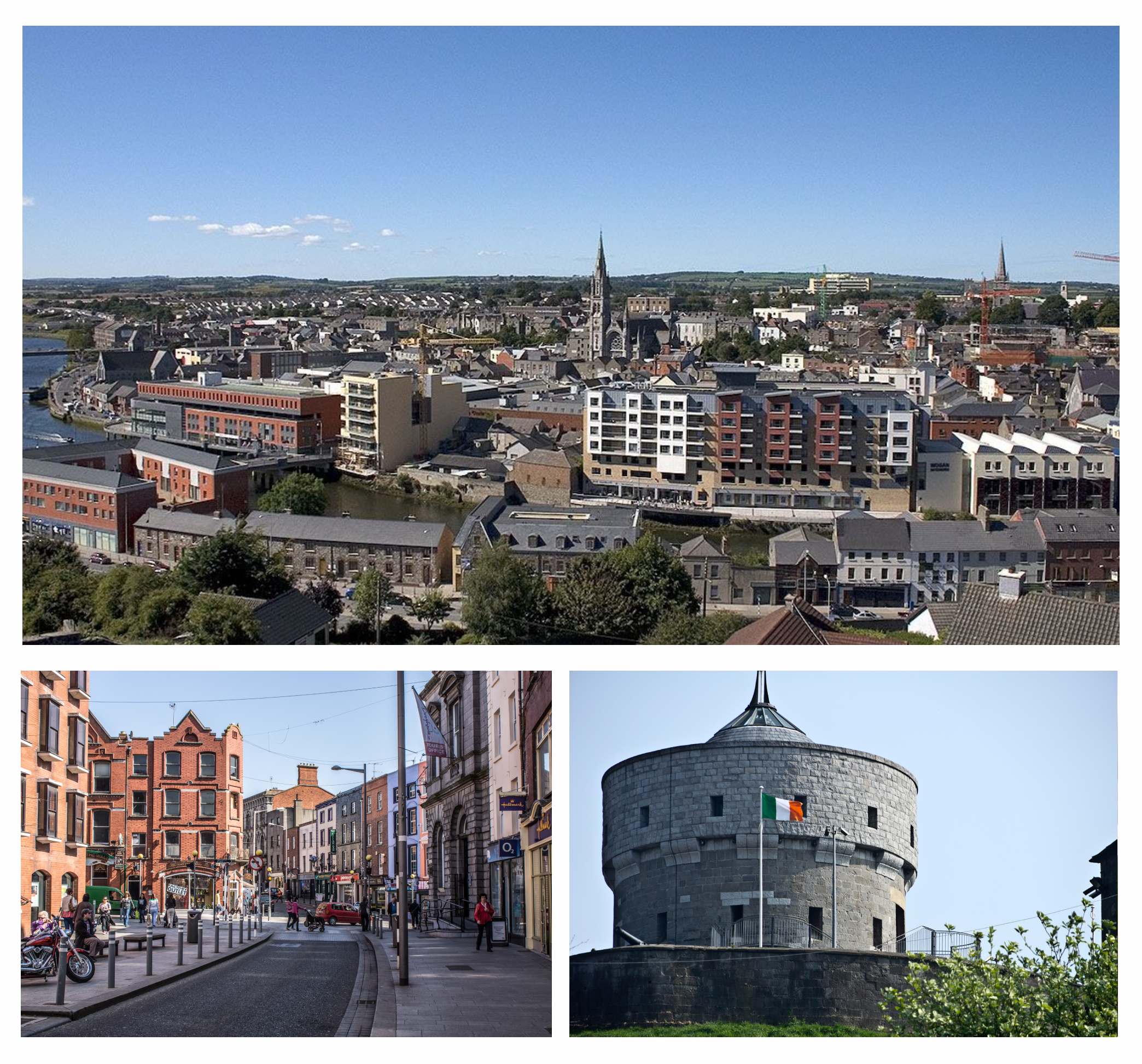
Drogheda is a shrine of sacred significance. Approximate coordinates: 53.71533, -6.35246. Attributes: built, cultural, pilgrimage. Tradition: Christianity. Associated figure: St. Oliver Plunkett. Drogheda ( DRO-həd-ə, DRAW-də; Irish: Droichead Átha [ˈd̪ˠɾˠɛhəd̪ˠ ˈaːhə], meaning bridge at the ford ) is an industrial and port town in County Louth on the east coast of Ireland, 43 km (27 mi) north of Dublin. It is located on the Dublin–Belfast corridor on the east coast of Ireland, mostly in County Louth but with the south fringes of the town in County Meath, 40 km (25 mi) north of Dublin city centre. Drogheda had a population of 44,135 inhabitants in 2022, making it the eleventh largest settlement by population in all of Ireland, and the largest town in Ireland, by both population and area. It is the second largest in County Louth with 35,990 and sixth largest in County Meath with 8,145. It is the last bridging point on the River Boyne before it enters the Irish Sea. The UNESCO World Heritage Site of Newgrange is located 8 km (5.0 mi) west of the town. Located in The Borough District of Drogheda, Éire / Ireland.
Sacred Cluster
Nearby sacred places create the location cluster described in the growth plan. This block is intentionally crawlable and links into the wider regional graph.