Céide Fields Neolithic site, Ballycastle, Ireland
County Mayo, Ballina Municipal District, Ireland
At A Glance
- Coordinates
- 54.3071, -9.4576
Overview
Céide Fields Neolithic site, Ballycastle, Ireland is a neolithic site of sacred significance. Approximate coordinates: 54.30709, -9.45765. Attributes: built, cultural, archaeological. Located in Ballina Municipal District, Éire / Ireland.
Sacred Cluster
Nearby sacred places create the location cluster described in the growth plan. This block is intentionally crawlable and links into the wider regional graph.
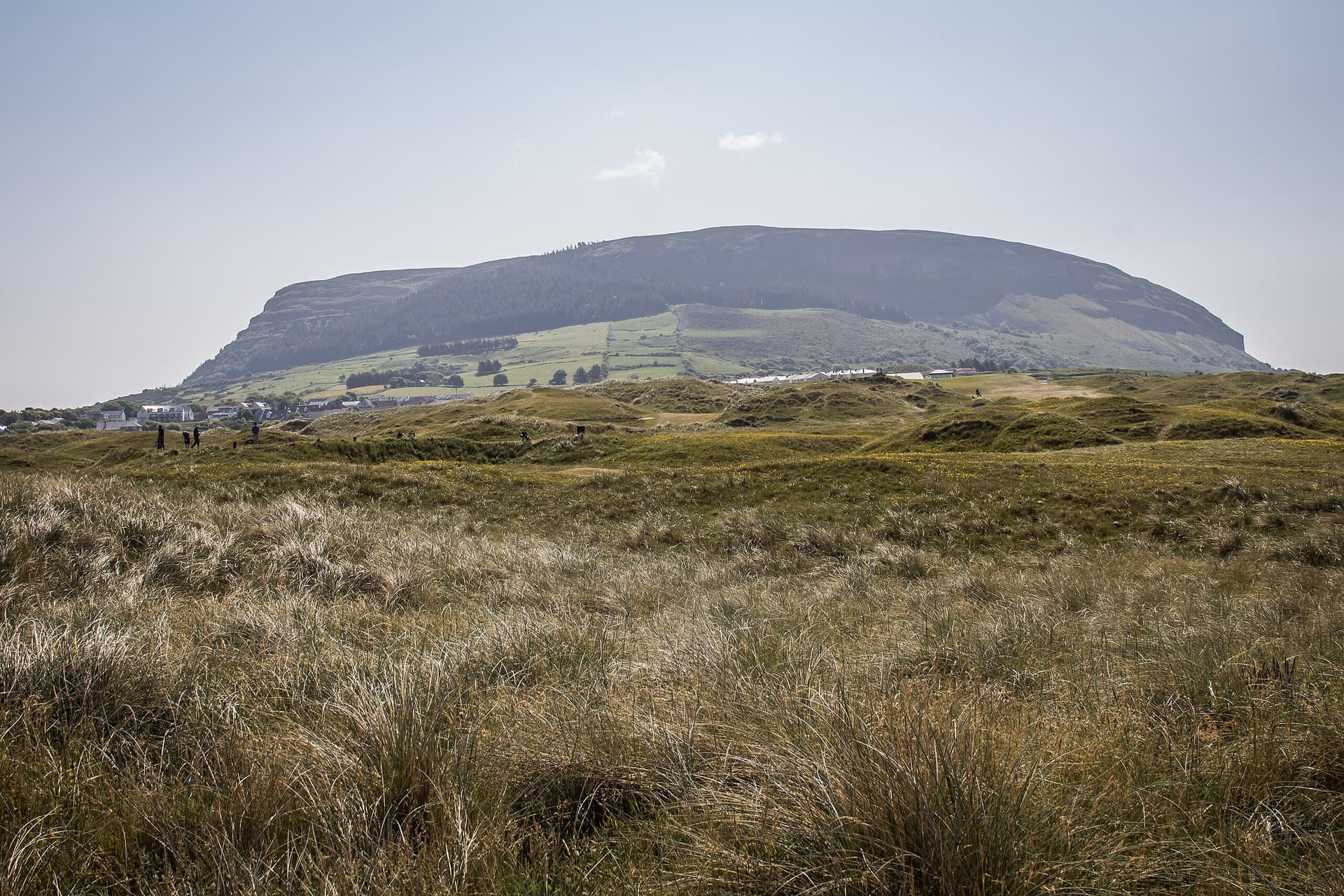
Knocknarea megalthic site, Sligo, Ireland
County Sligo, Sligo Municipal Borough District, Ireland
57.6 km away
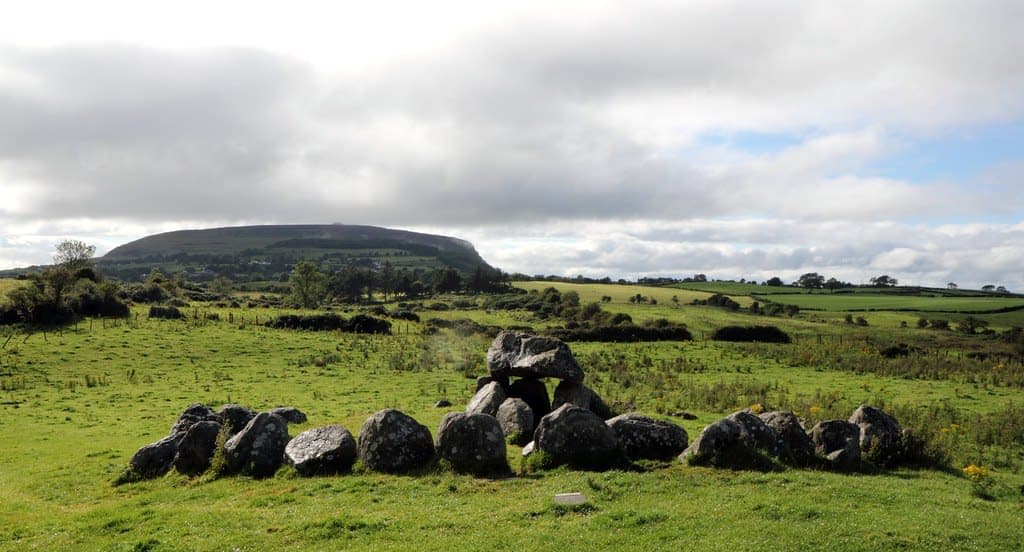
Carrowmore
County Sligo, Sligo Municipal Borough District, Ireland
61.2 km away
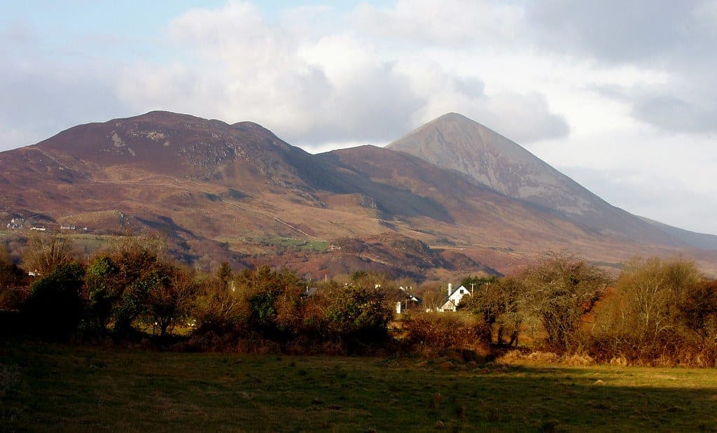
Mt. Croach Patrick
County Mayo, Westport-Belmullet Municipal District, Ireland
62.3 km away

Slieve League, County Donegal, Ireland
County Donegal, Donegal Municipal District, Ireland
62.3 km away