
At A Glance
- Coordinates
- 20.3811, -104.8219
Overview
Talpa de Allende is a site of sacred significance. Approximate coordinates: 20.38107, -104.82186. Talpa de Allende is a city and municipality in Jalisco, Mexico. Surrounded by pine-covered mountains, Talpa de Allende is a silver mining town founded by the Spanish in 1599. The name Allende is in honor of General Ignacio Allende. Talpa is the destination of a popular pilgrimage route. In the center of Talpa is the church of Nuestra Señora del Rosario, which is the location of the tiny Virgen del Rosario statue, also called La Chaparrita , meaning the short one, who they believe does miracles. Her birthday is celebrated October 7, where millions of people walk to Talpa every year. Another date she is visited is during Easter Week. Approximately 3 million people attended to the celebrations of La Chaparrita yearly. The walk can be anywhere from a few kilometers to a hundred or more depending on the starting point. The most famous walk is the called Ruta del Peregrino (Pilgrim s Route). The Route is 117 km long, starting in the city of Ameca and ending in Nuestra Señora del Rosario church. It includes several climbs of hundreds of meters. During Easter week, there are stands selling food and drinks all along to route. Located in Jalisco, Mexico.
Sacred Cluster
Nearby sacred places create the location cluster described in the growth plan. This block is intentionally crawlable and links into the wider regional graph.
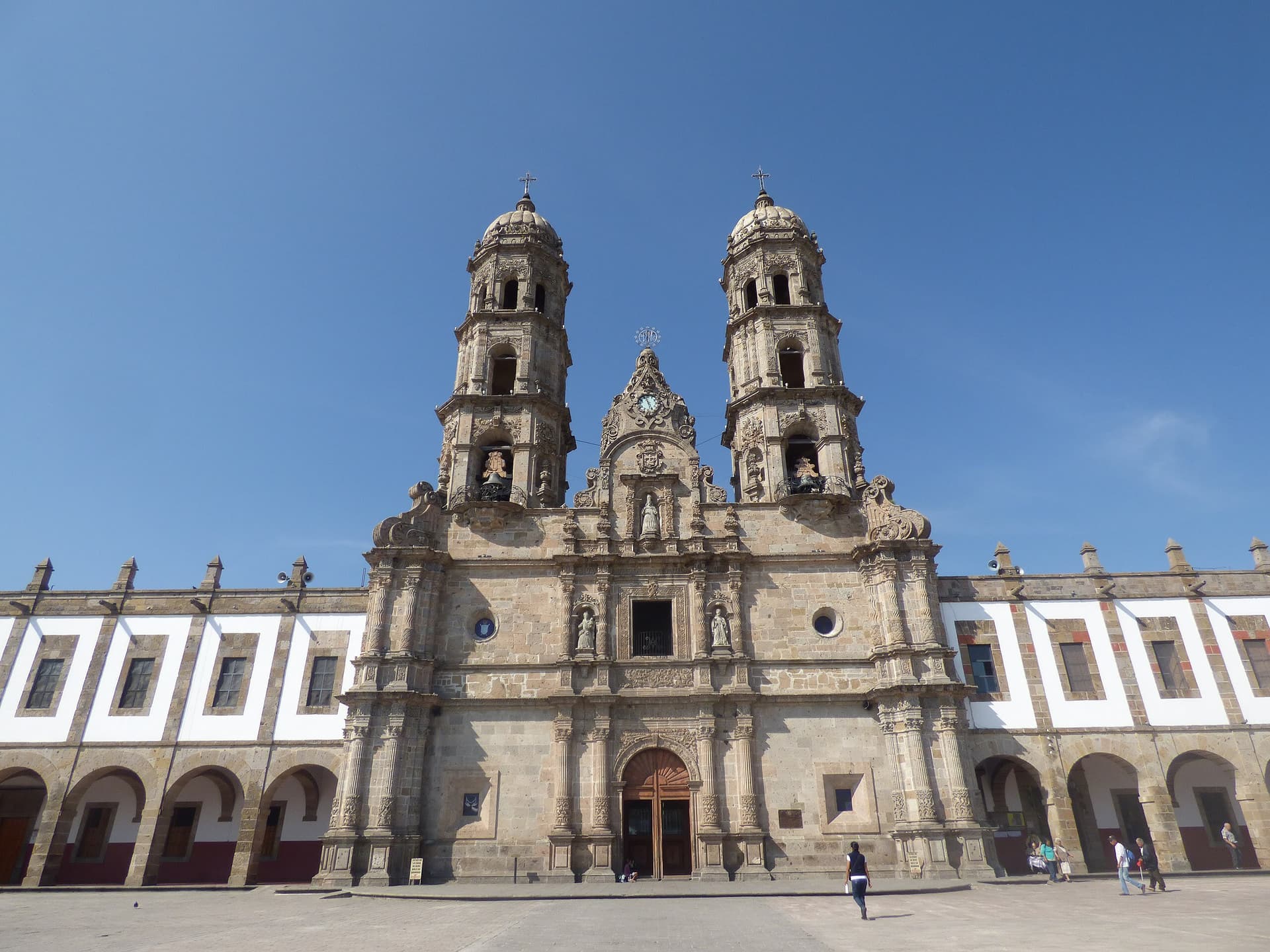
Basilica of Our Lady of Zapopan, Guadalajara
Zapopan, Jalisco, Mexico
153.9 km away
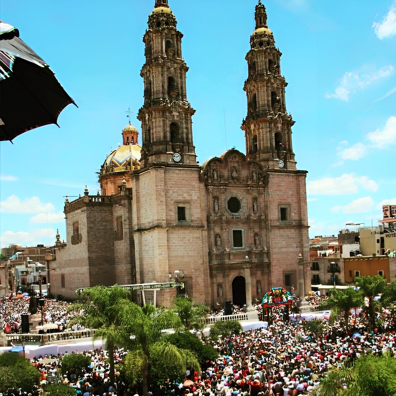
San Juan de los Lagos
San Juan de los Lagos, Jalisco, Mexico
275.9 km away
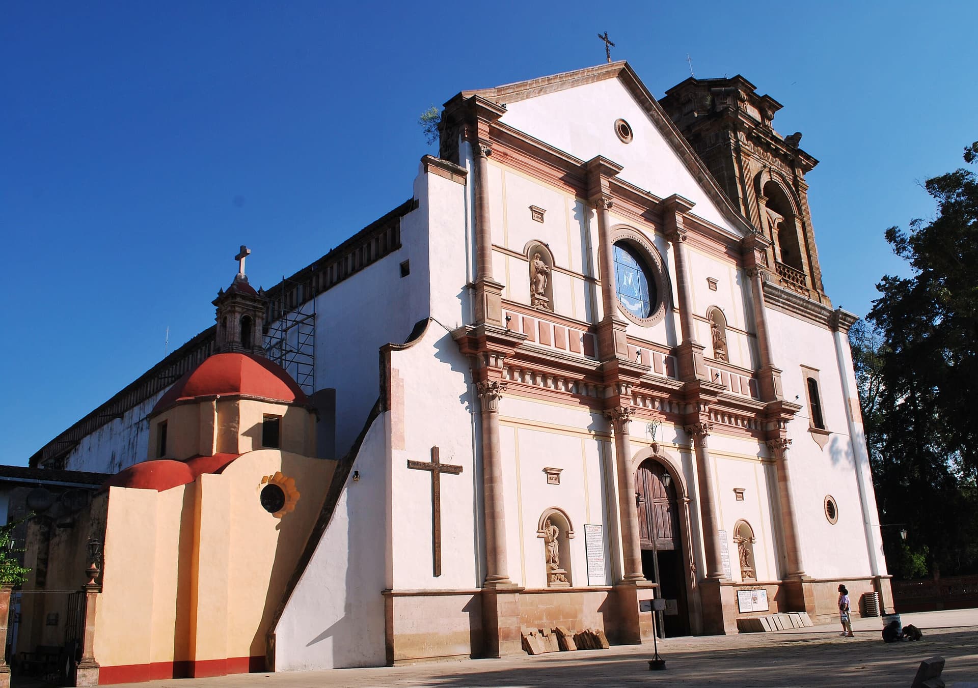
Basilica of Nuestra Señora de la Salud, Patzcuaro
Pátzcuaro, Michoacán, Mexico
349.4 km away
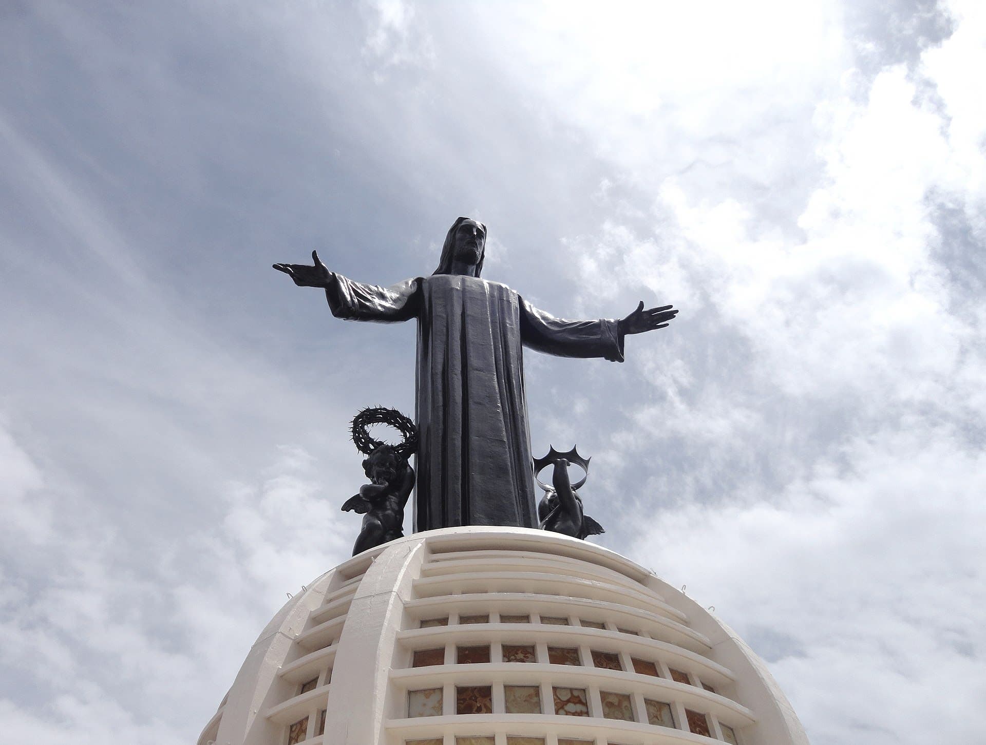
Cristo Rey, Cerro del Cubilete
Silao, Guanajuato, Mexico
365.9 km away