At A Glance
- Coordinates
- 17.7561, -89.9190
Overview
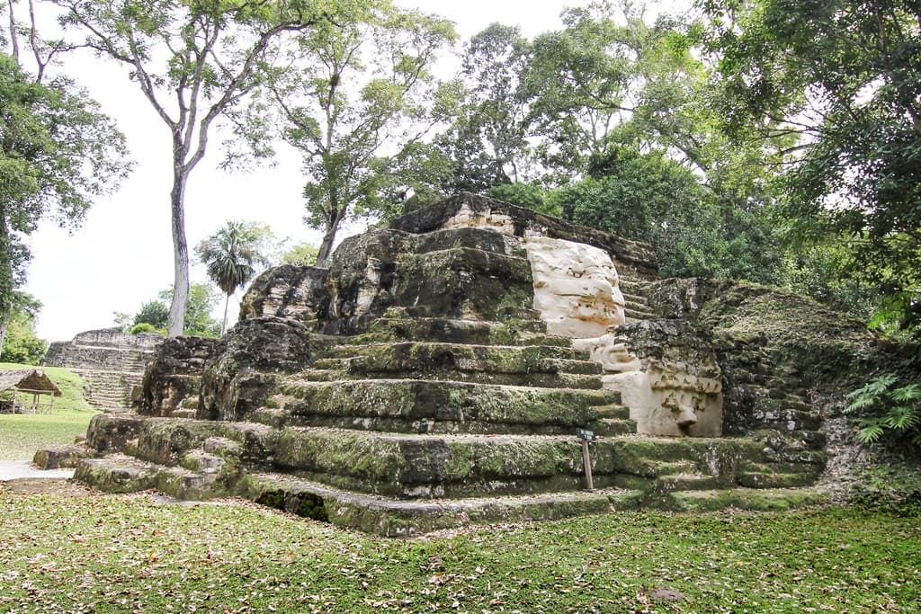
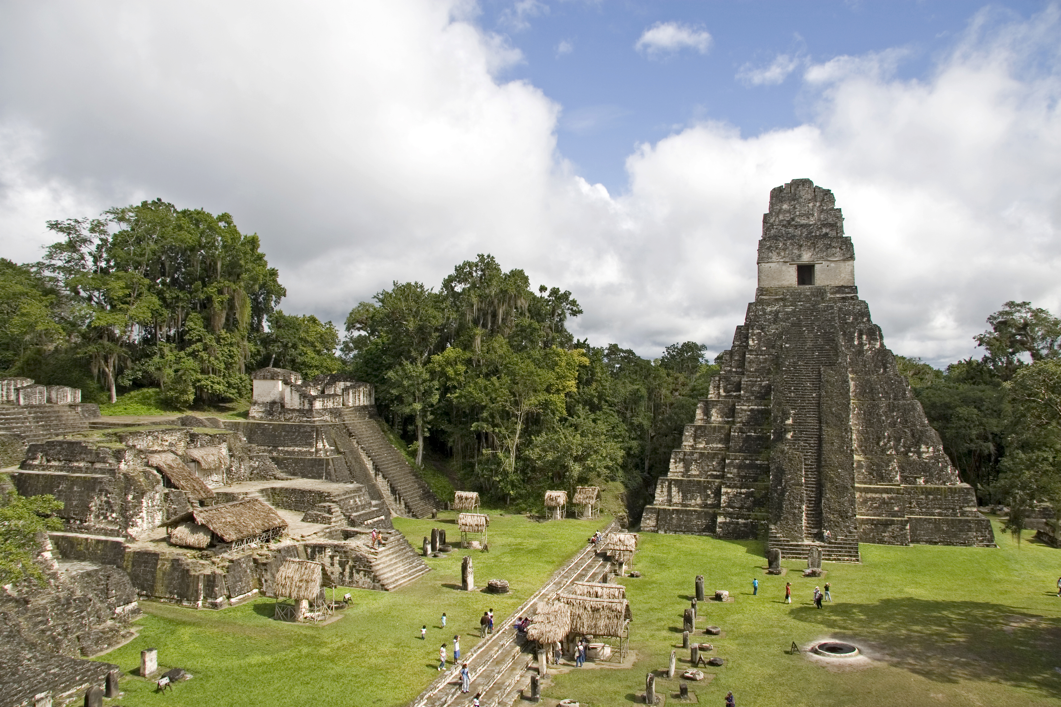
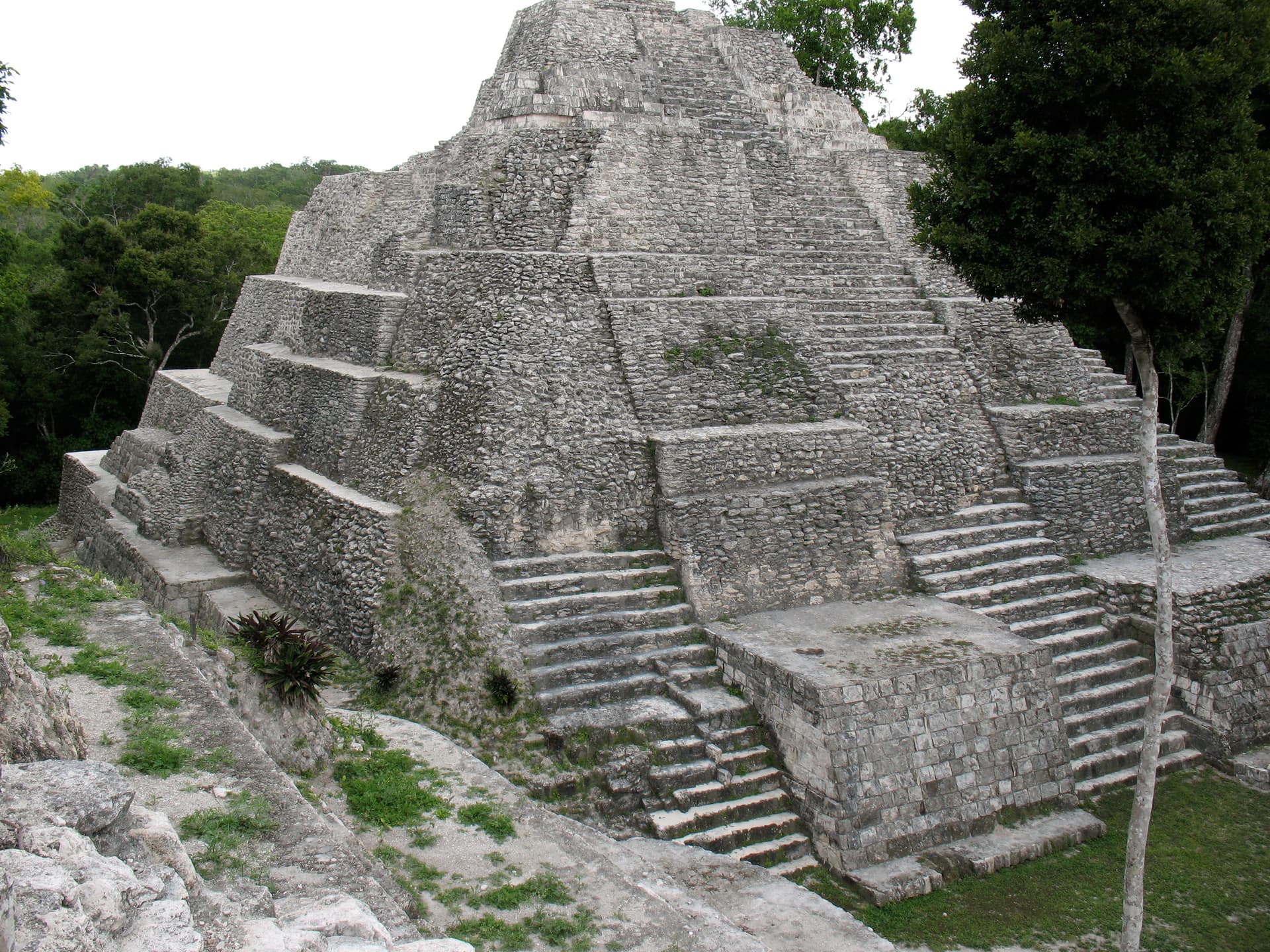
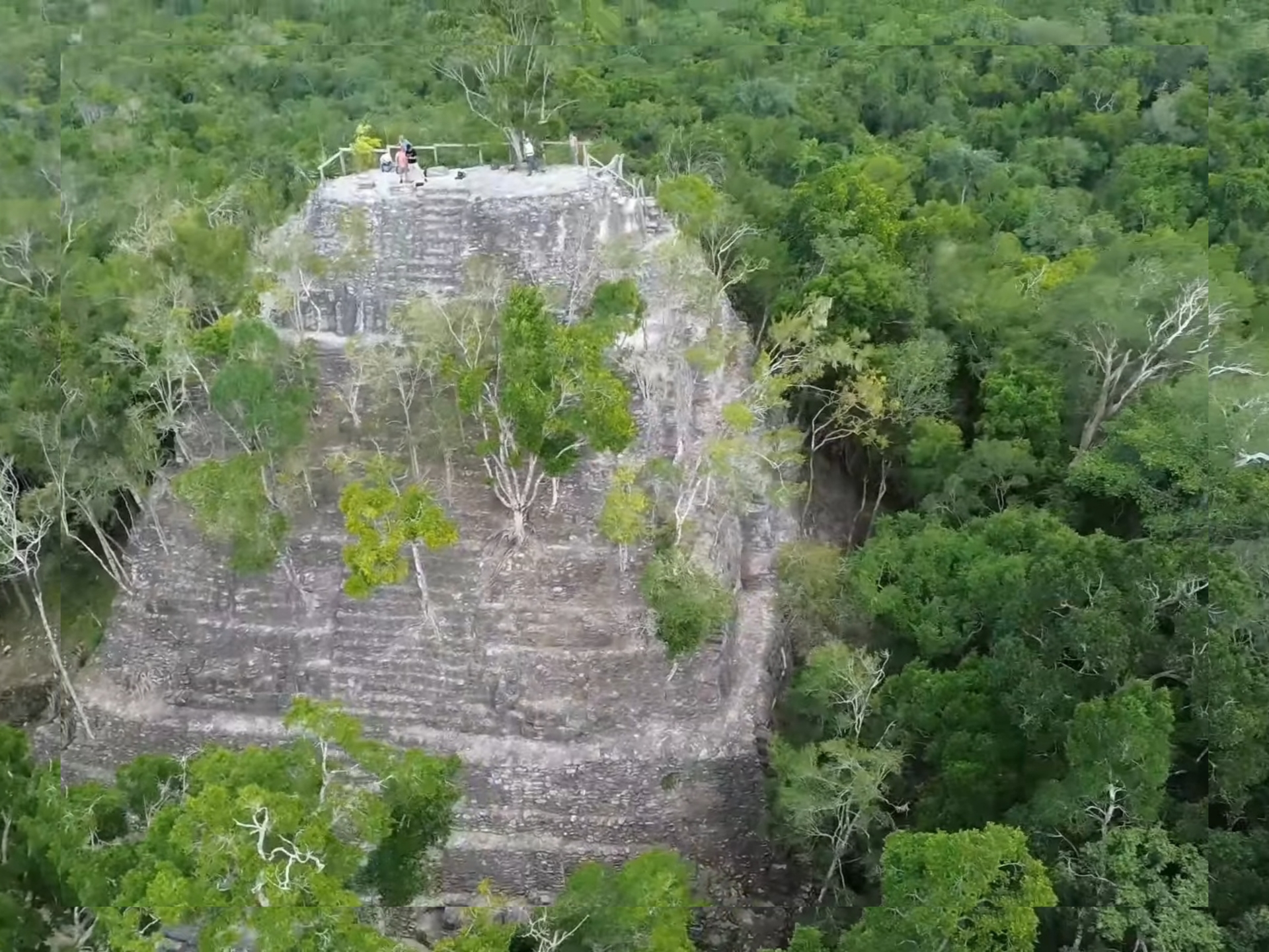
El Mirador is a maya settlement of sacred significance. Approximate coordinates: 17.75606, -89.91900. Attributes: built, cultural, archaeological. Tradition: Maya. El Mirador (which translates as the lookout , the viewpoint , or the belvedere ) is a large pre-Columbian Middle and Late Preclassic (1000 BC – 250 AD) Maya settlement, located in the north of the modern department of El Petén, Guatemala. It is part of the Mirador-Calakmul Karst Basin of northern Guatemala. Located in San Andrés, Petén, Guatemala.
Sacred Cluster
Nearby sacred places create the location cluster described in the growth plan. This block is intentionally crawlable and links into the wider regional graph.