At A Glance
- Coordinates
- 14.9421, -91.1114
Overview
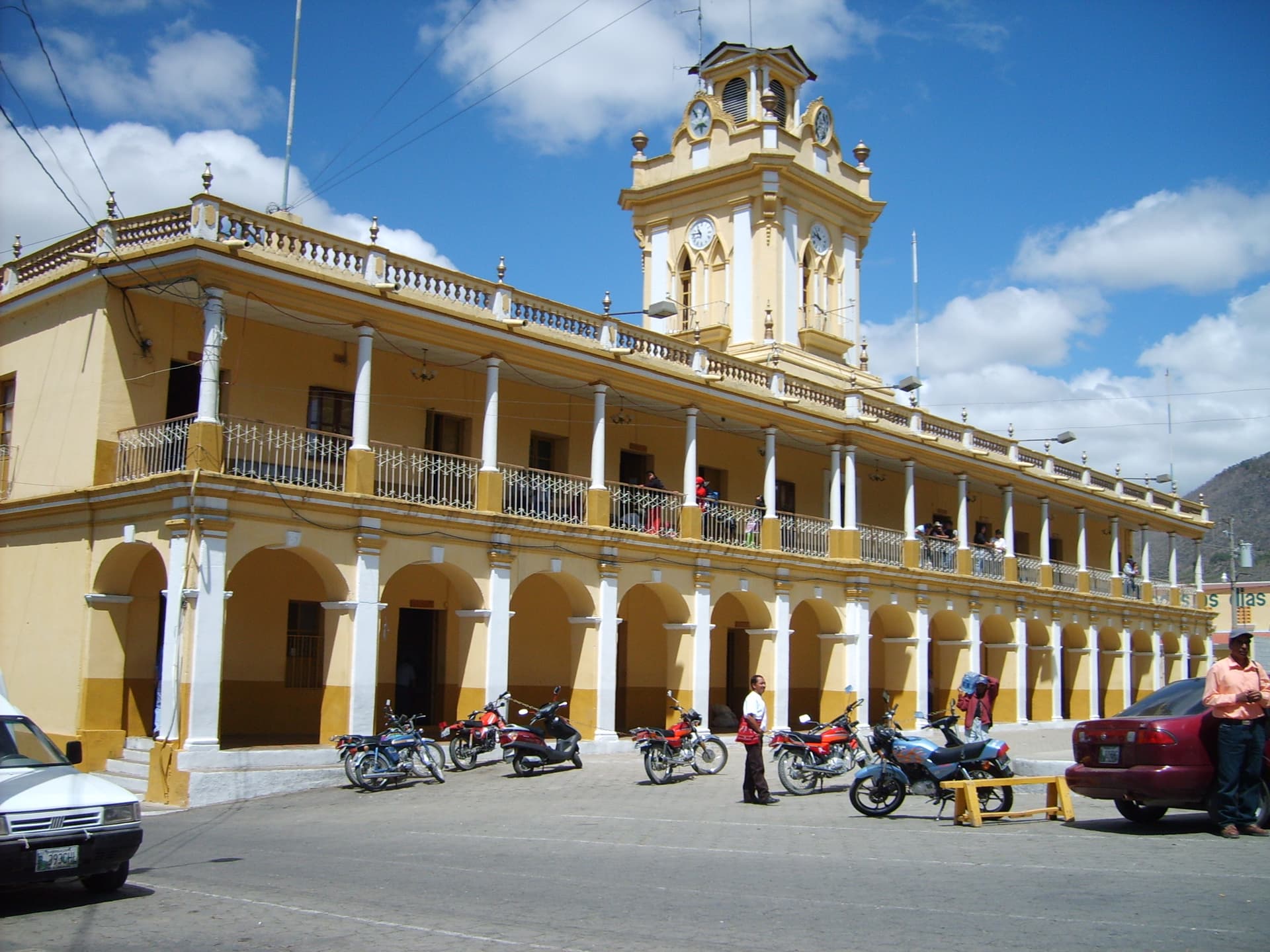
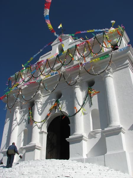
Chichicastenango is a town of sacred significance. Approximate coordinates: 14.94212, -91.11139. Attributes: built, cultural. Tradition: Mayan Kiche. Associated figure: Santo Tomas. Chichicastenango, also known as Santo Tomás Chichicastenango, is a town, with a population of 71,394 (2018 census), and the municipal seat for the surrounding municipality of the same name in the El Quiché department of Guatemala. It is located in a mountainous region about 140 km (87 mi) northwest of Guatemala City, at an altitude of 1,965 m (6,447 ft). The Spanish conquistadors gave the town its name from the Nahuatl name used by their allied soldiers from Tlaxcala: Tzitzicaztenanco, or City of Nettles. Its original name was Chaviar. Chichicastenango is a K iche Maya cultural centre. According to the 2012 census, 98.5% of the municipality s population is indigenous Mayan K iche. Of the population, 21% speak only K iche, 71% speak both K iche and Spanish, and the remaining 8% speak only Spanish. Located in Quiché, Guatemala.
Sacred Cluster
Nearby sacred places create the location cluster described in the growth plan. This block is intentionally crawlable and links into the wider regional graph.