At A Glance
- Coordinates
- 32.2139, 35.2816
Overview
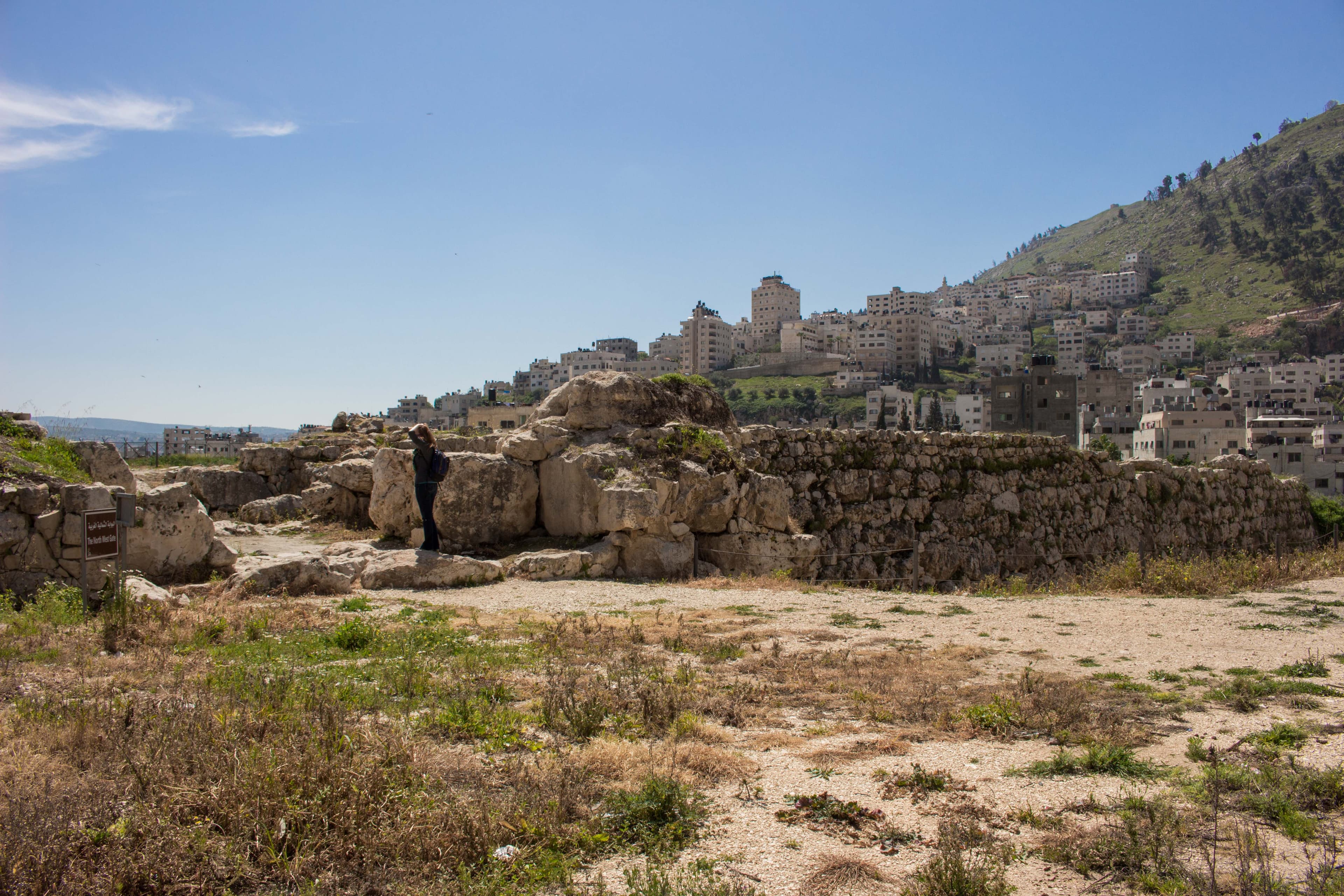
Shechem is a site of sacred significance. Approximate coordinates: 32.21390, 35.28165. Shechem ( SHEK-əm; Hebrew: שְׁכֶם, romanized: Šəḵem, Biblical pronunciation: [ʃəˈxɛm]; Samaritan Hebrew: ࠔࠬࠥࠊࠝࠌ, romanized: Šăkēm), also spelled Sichem ( SIK-əm; Ancient Greek: Συχέμ, romanized: Sykhém) and other variants, was an ancient city in the southern Levant. Mentioned as a Canaanite city in the Amarna Letters, it later appears in the Hebrew Bible as the first capital of the Kingdom of Israel following the split of the United Monarchy. According to Joshua 21:20–21, it was located in the tribal territorial allotment of the tribe of Ephraim. Shechem declined after the fall of the northern Kingdom of Israel. The city later regained its importance as a prominent Samaritan center during the Hellenistic period. Traditionally associated with the city of Nablus, Shechem is now identified with the nearby site of Tell Balata in the Balata al-Balad suburb of the West Bank. Located in الضفة الغربية, Palestinian Territory.
Sacred Cluster
Nearby sacred places create the location cluster described in the growth plan. This block is intentionally crawlable and links into the wider regional graph.
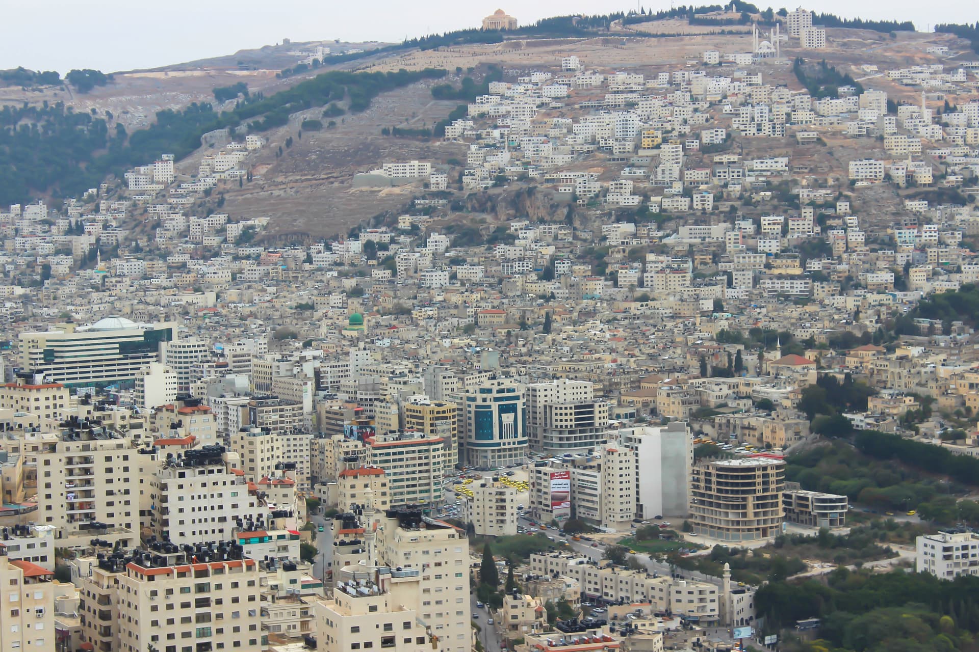
Nablus
Nablus, West Bank, Palestinian Territories
0.6 km away
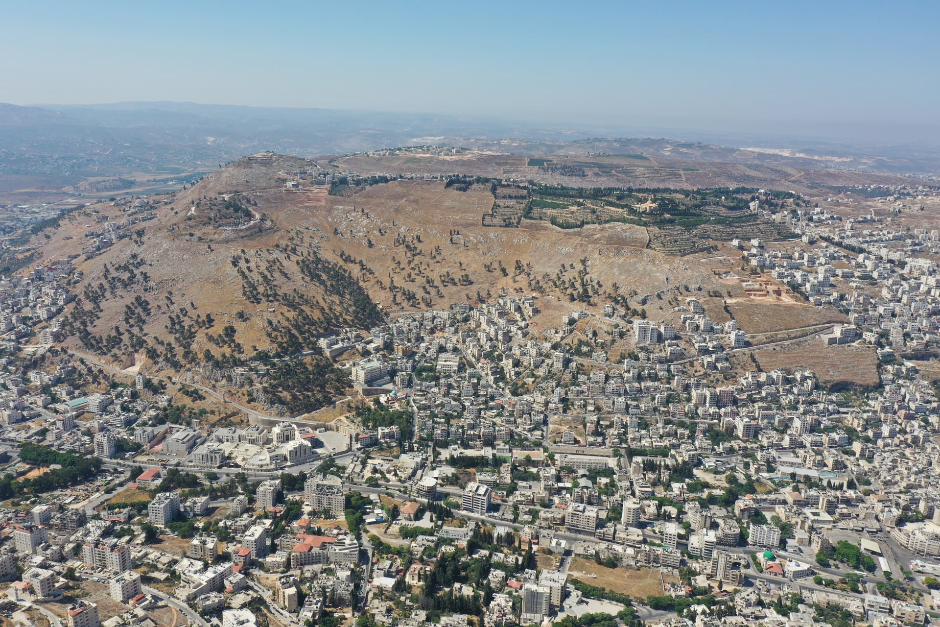
Mount Gerizim
Kiryat Luza, West Bank, Palestinian Territories
1.6 km away
Mount Gerizim, Nablus, Israel
Shomron Regional Council, Judea and Samaria, Palestinian Territories
2.7 km away
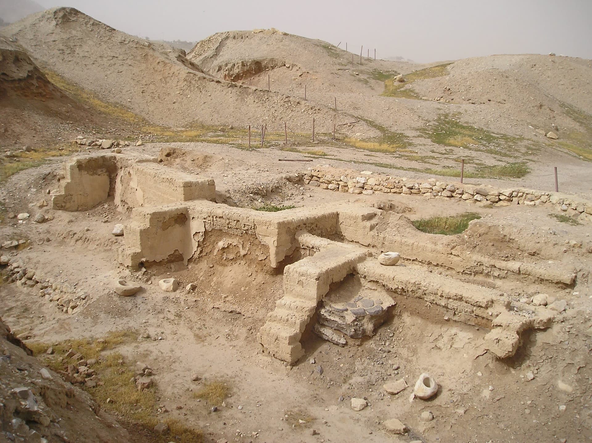
Ancient Jericho/Tell es-Sultan
Jericho, West Bank, Palestinian Territories
41.1 km away