At A Glance
- Coordinates
- 20.9207, 95.2533
Overview
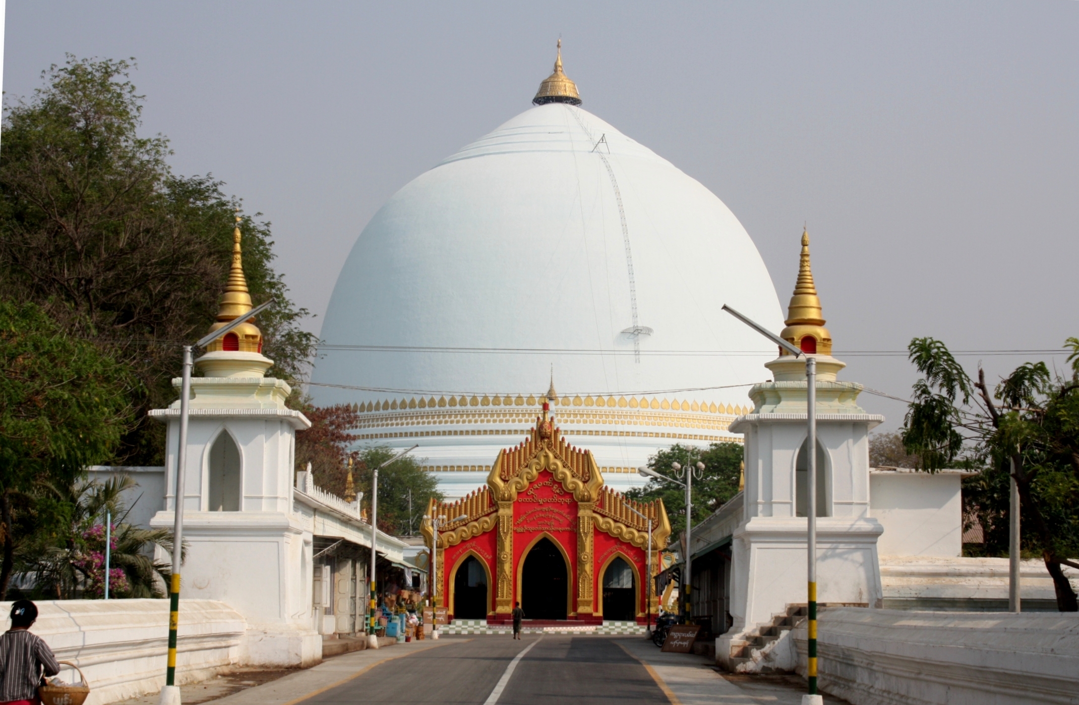
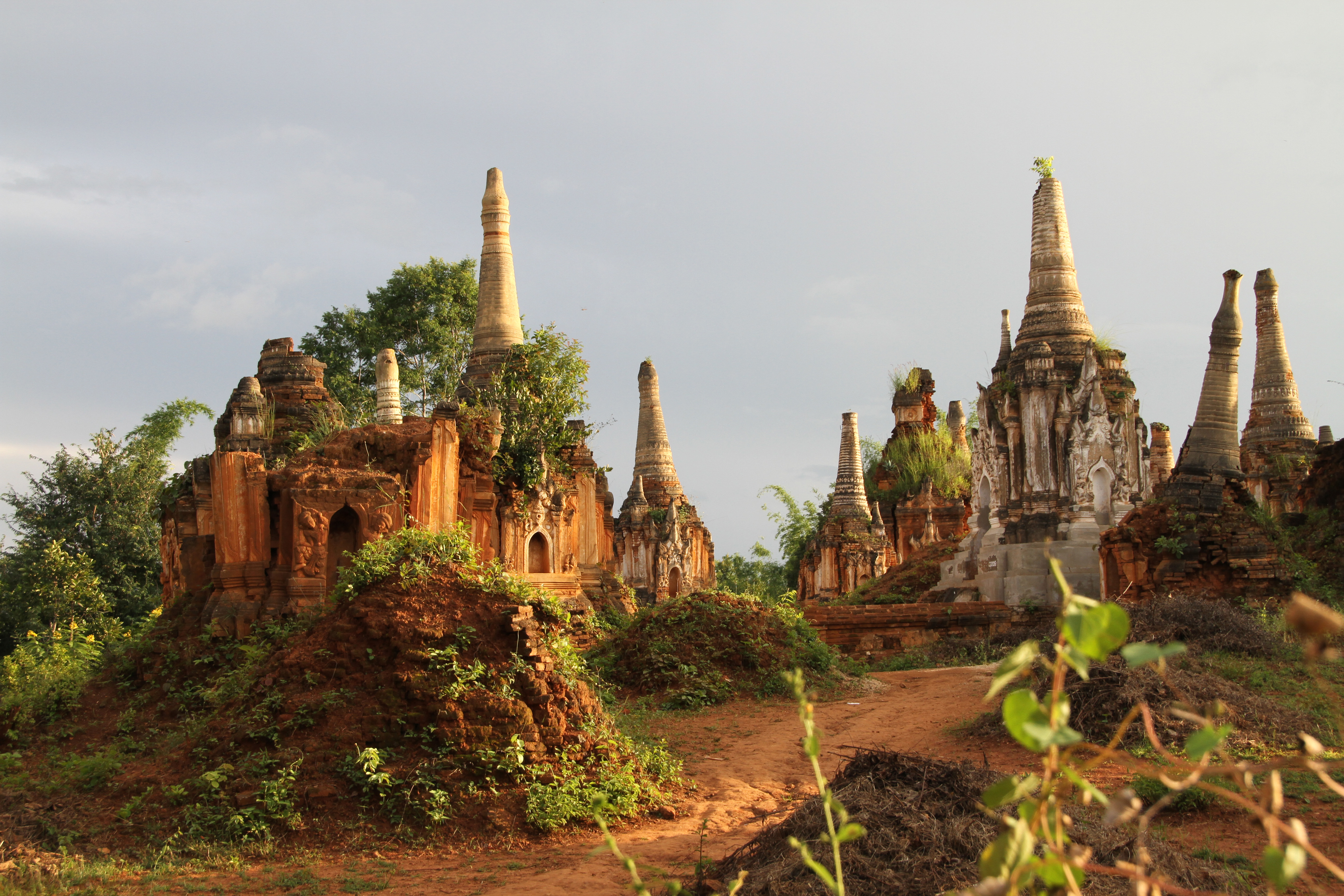
Mount Popa is a site of sacred significance. Approximate coordinates: 20.92071, 95.25335. Mount Popa (Burmese: ပုပ္ပားတောင်; MLCTS: puppa: taung, IPA: [pòpá tàʊɰ̃]) is a dormant volcano 1518 metres (4981 feet) above sea level, and located in central Myanmar in the region of Mandalay about 50 km (31 mi) southeast of Bagan (Pagan) in the Pegu Range. It can be seen from the Ayeyarwady (Irrawaddy) River as far away as 60 km (37 mi) in clear weather. Mount Popa is a pilgrimage site, with numerous Nat temples and relic sites atop the mountain. Located in ကျောက်ပန်းတောင်း, မန္တလေးတိုင်း, မြန်မာ.
Sacred Cluster
Nearby sacred places create the location cluster described in the growth plan. This block is intentionally crawlable and links into the wider regional graph.