At A Glance
- Coordinates
- 52.9470, -6.6832
Overview
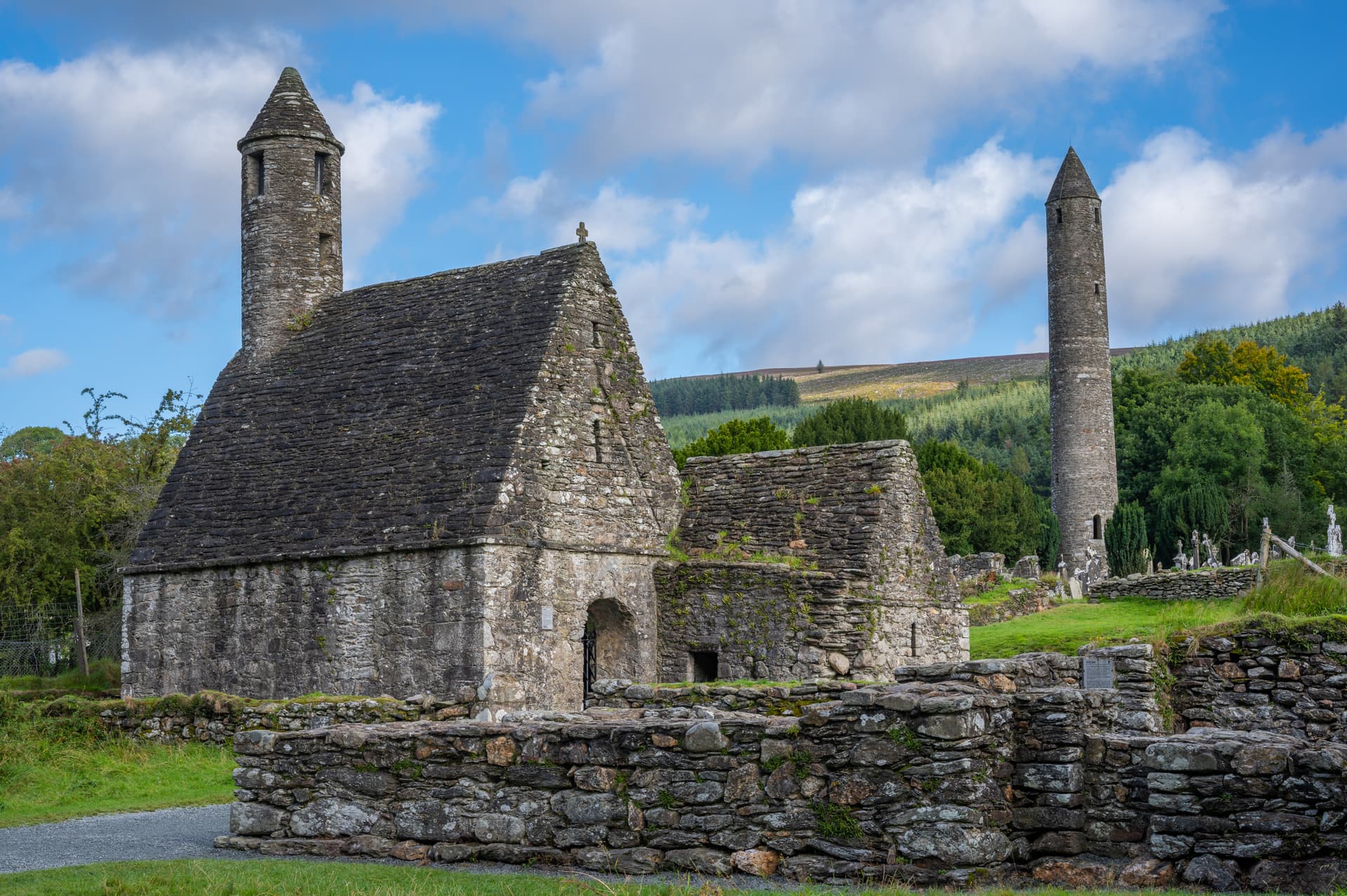
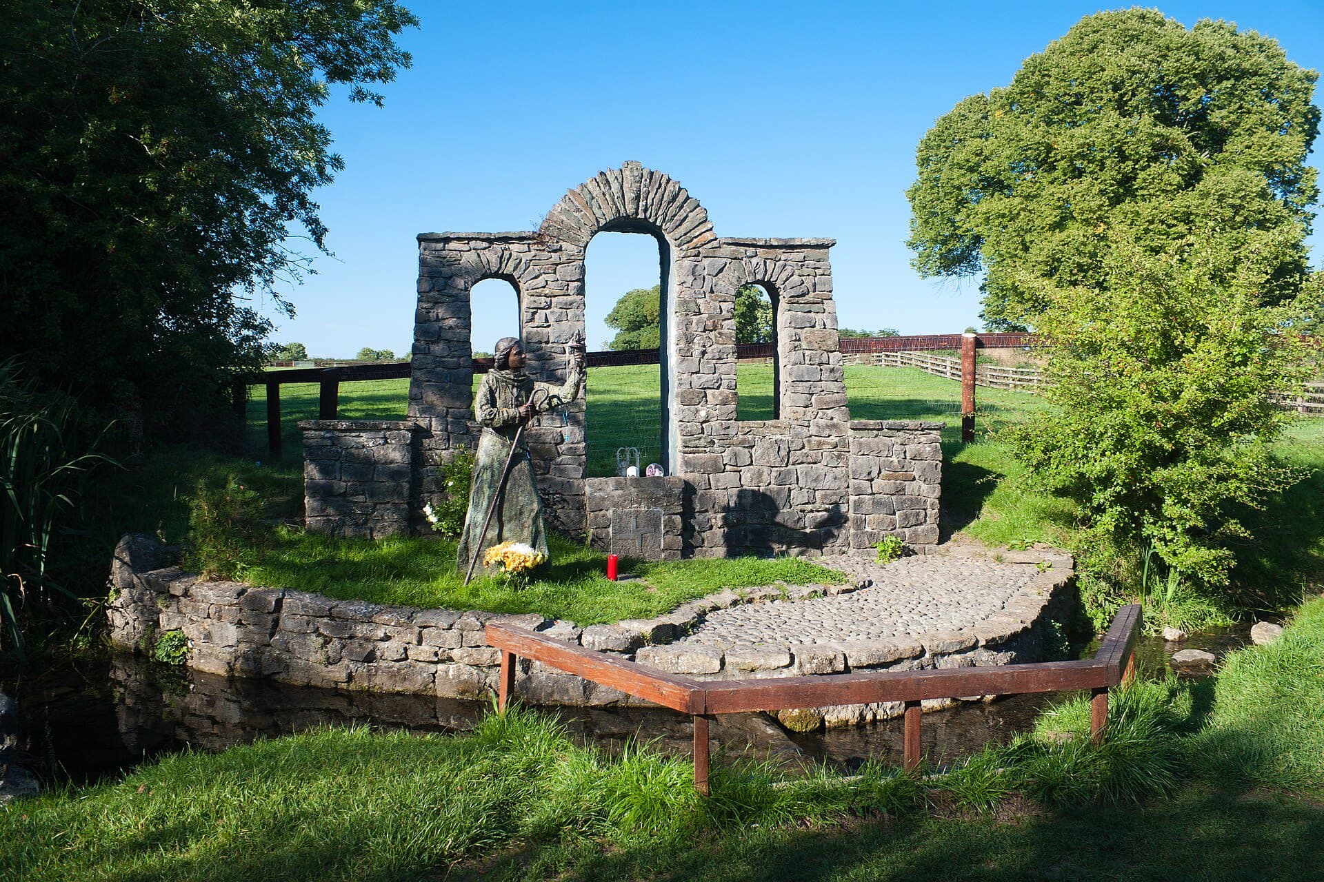
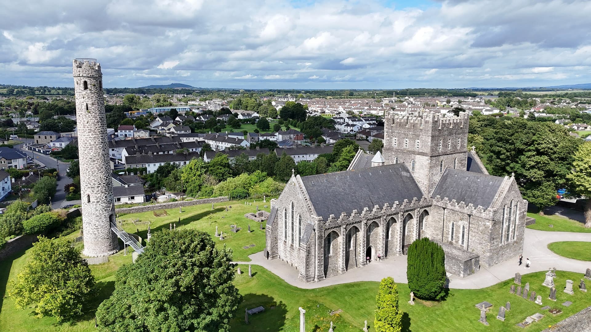
Baltinglass is a megalithic ruins of sacred significance. Approximate coordinates: 52.94704, -6.68322. Attributes: built, cultural, archaeological. Baltinglass, historically known as Baltinglas (Irish: Bealach Conglais, meaning road (or way) of Conglas ), is a town in south-west County Wicklow, Ireland. It is located on the River Slaney near the border with County Carlow and County Kildare, on the N81 road. The town is in a civil parish of the same name. Located in The Municipal District of Baltinglass, Éire / Ireland.
Sacred Cluster
Nearby sacred places create the location cluster described in the growth plan. This block is intentionally crawlable and links into the wider regional graph.