Country guide
Bolivia
16 sacred sites across 6 regions.
Traditions present in Bolivia
Prominent site types
Cochabamba
2 sites
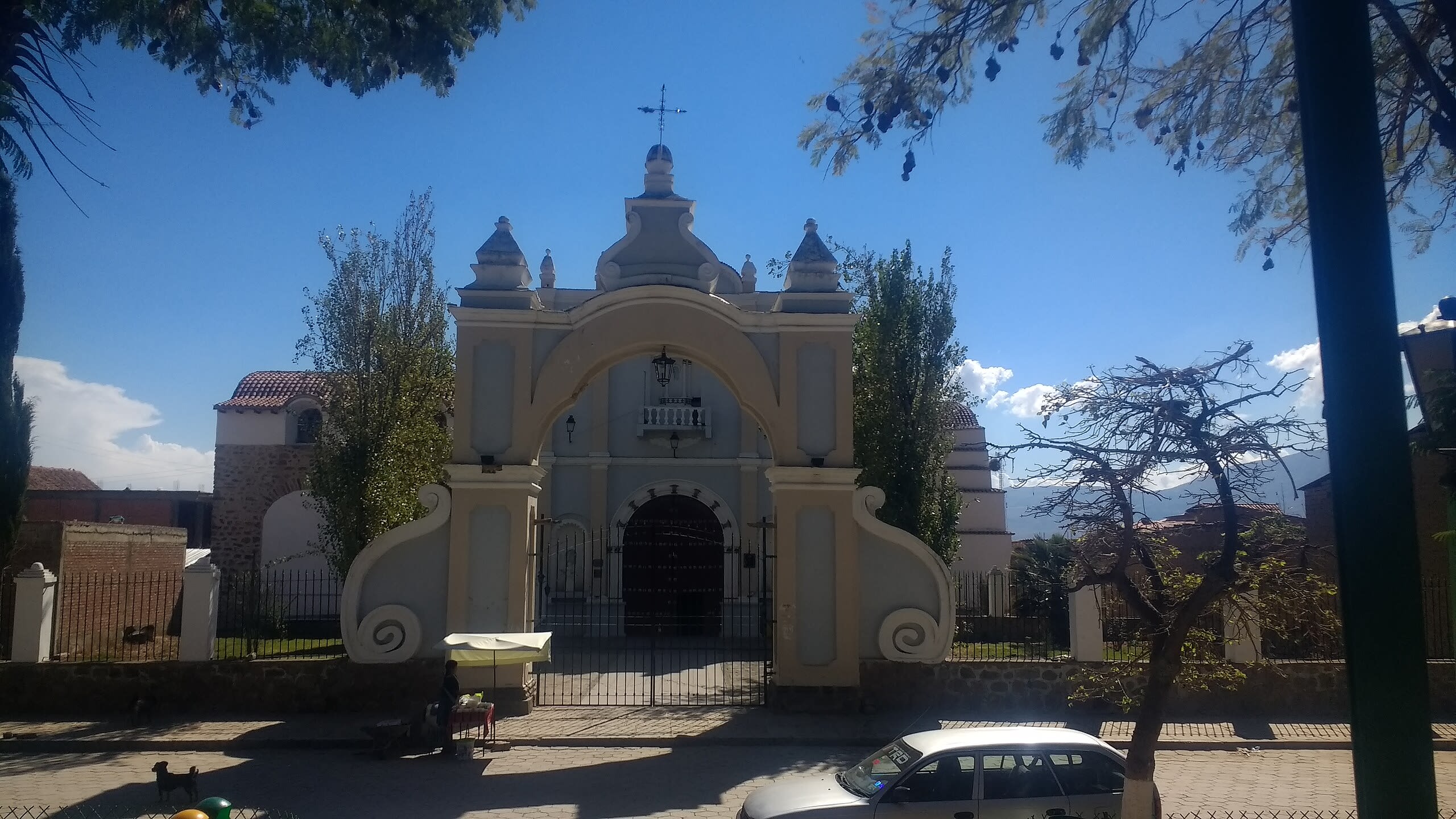
Arani, Church of San Bartolomé, Nuestra Señora La Bella
Municipio Arani, Cochabamba, Bolivia
Arani, Church of San Bartolomé, Nuestra Señora La Bella is a church of sacred significance. Approximate coordinates: -17.57289, -65.76883. Attributes: built, cultural. Tradition: Christianity. Associated figure: San Bartolomé, Nuestra Señora La Bella. Located in Municipio Arani, Cochabamba, Bolivia.

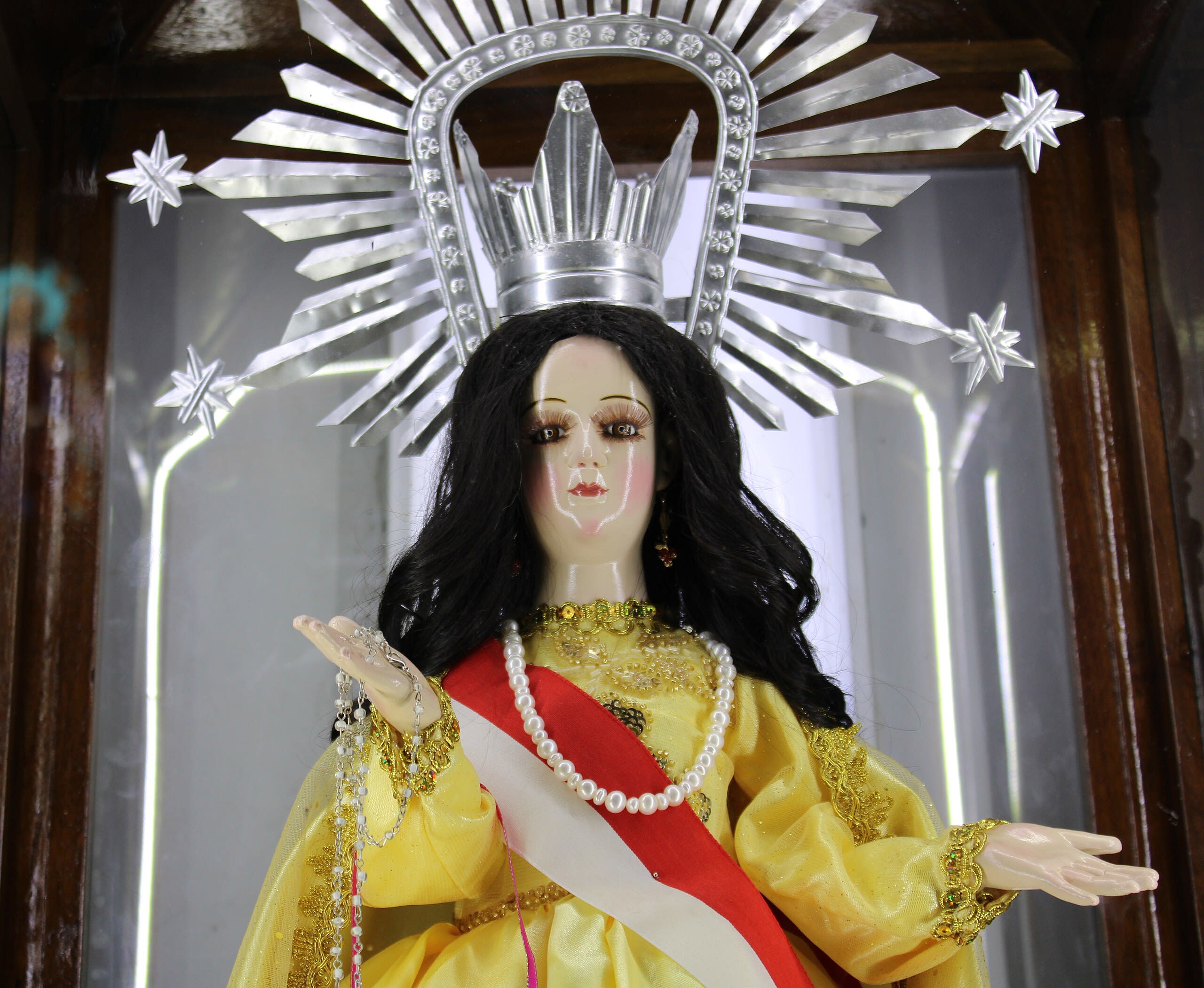
Quillacollo, Iglesia de San Ildefonso, Virgen of Urkupina
Quillacollo, Cochabamba, Bolivia
Quillacollo, Iglesia de San Ildefonso, Virgen of Urkupina is a site of sacred significance. Approximate coordinates: -17.39826, -66.28162. Located in Cochabamba, Bolivia.
La Paz
9 sites
Akapan Pyramid
Tiwanaku, La Paz, Bolivia
Akapan Pyramid in Tiwanaku, La Paz, Bolivia.
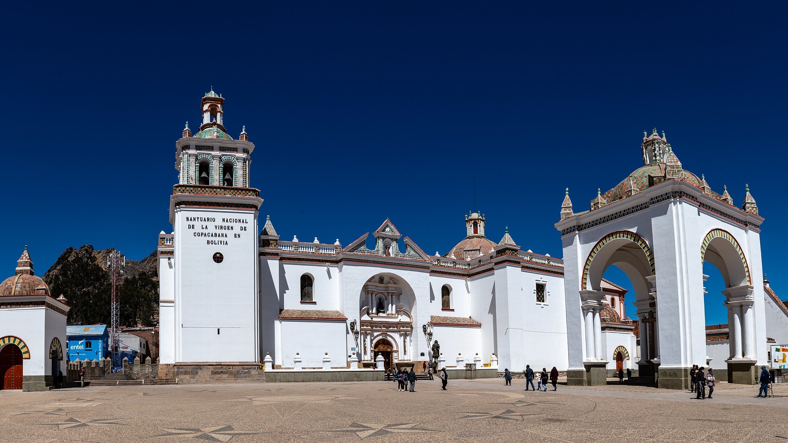
Basilica of the Virgin of Copacabana, Copacabana
Provincia Manco Kapac, La Paz, Bolivia
Basilica of the Virgin of Copacabana, Copacabana is a basilica of sacred significance. Approximate coordinates: -16.16613, -69.08557. Attributes: built, cultural, pilgrimage. Tradition: Christianity. Associated figure: Virgin of Copacabana. Located in La Paz, Bolivia.
Gate of the Moon
Tiwanaku, La Paz, Bolivia
Gate of the Moon in Tiwanaku, La Paz, Bolivia.
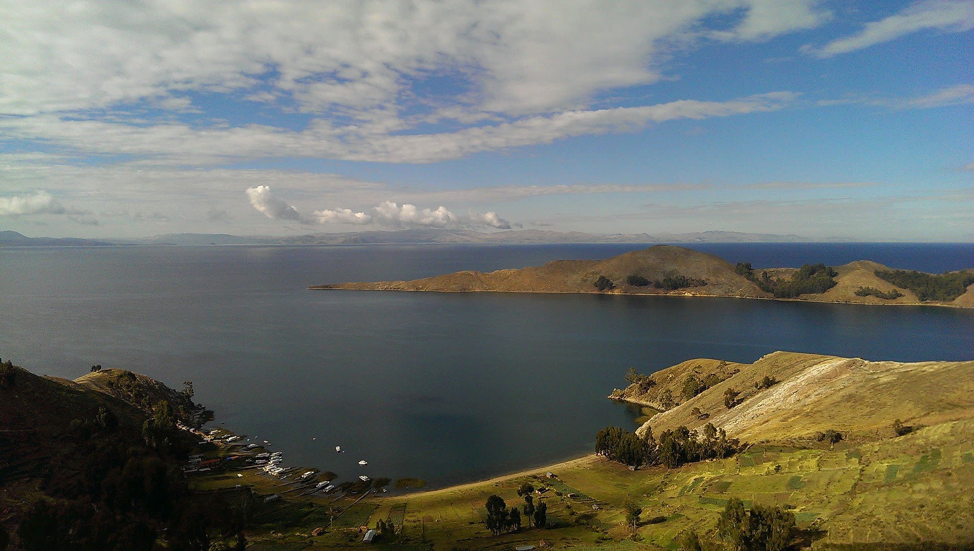
Isla Del Luna
Copacabana, La Paz, Bolivia
Isla Del Luna in Copacabana, La Paz, Bolivia.
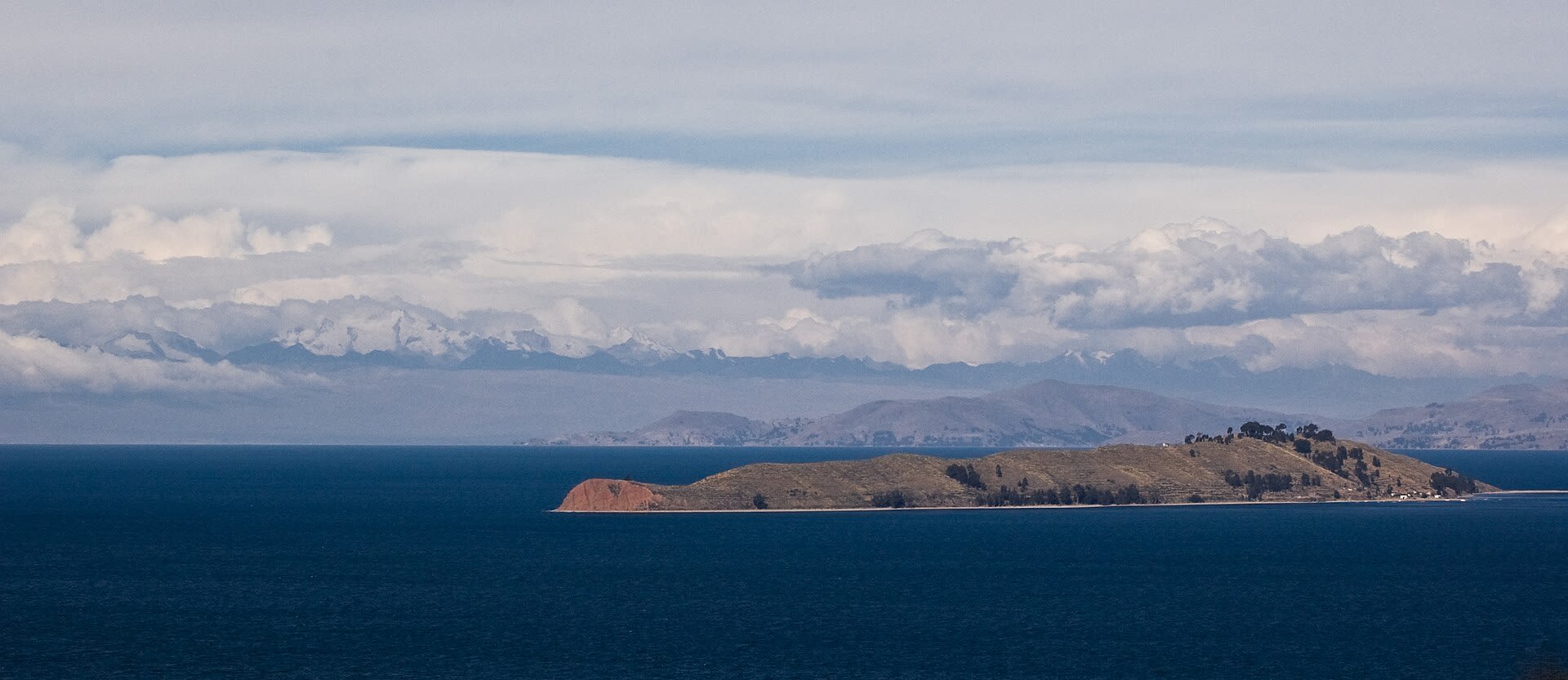
Isla Del Sol
Copacabana, La Paz, Bolivia
Isla Del Sol in Copacabana, La Paz, Bolivia.
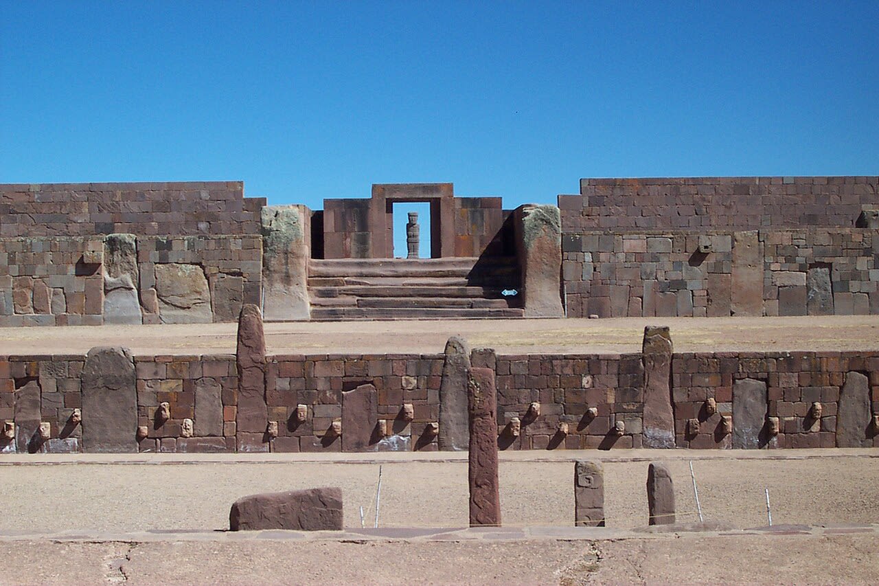
Kalasasaya Temple or Temple of the Standing Stones
Tiwanaku, La Paz, Bolivia
Kalasasaya Temple or Temple of the Standing Stones in Tiwanaku, La Paz, Bolivia.
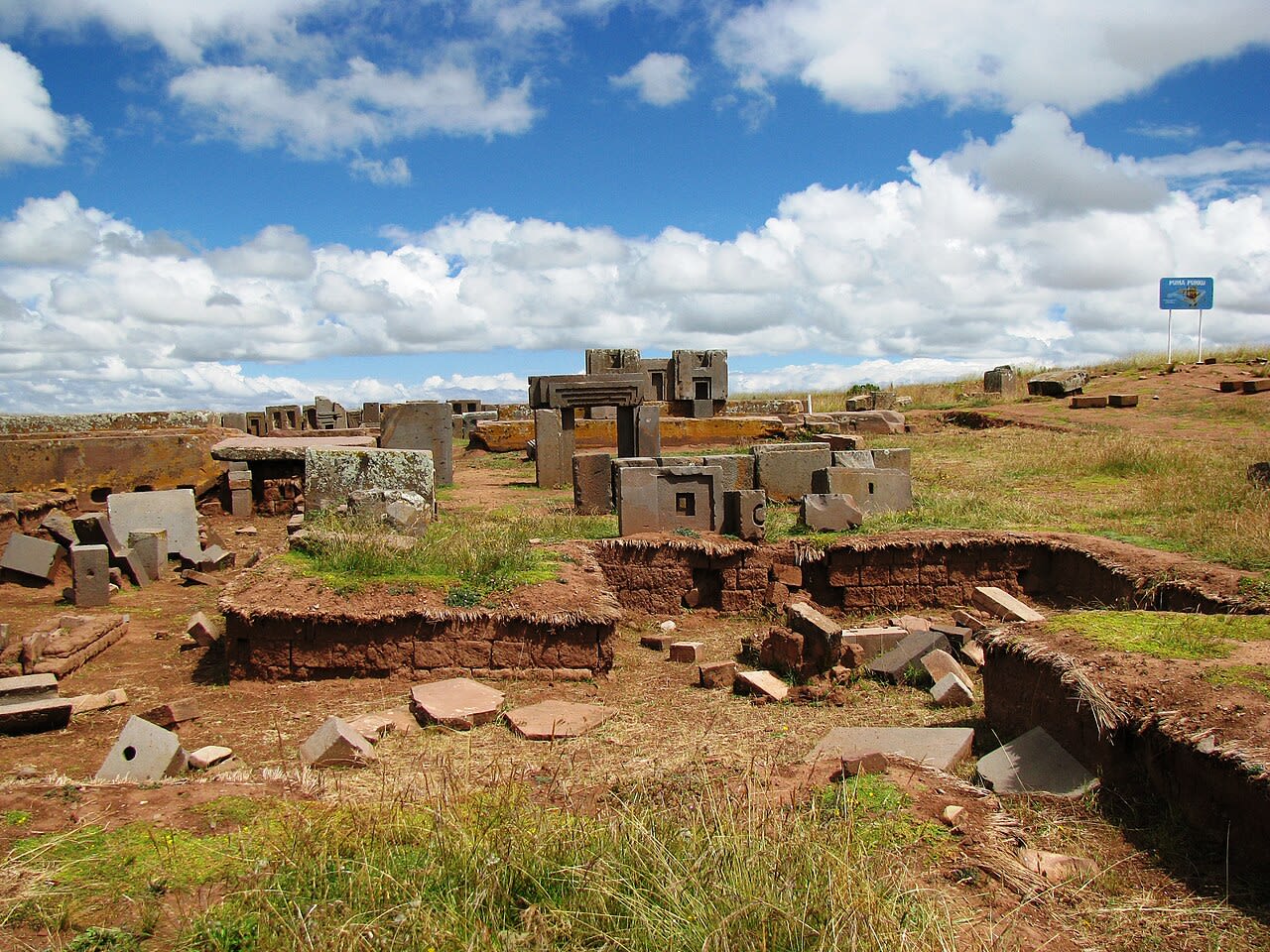
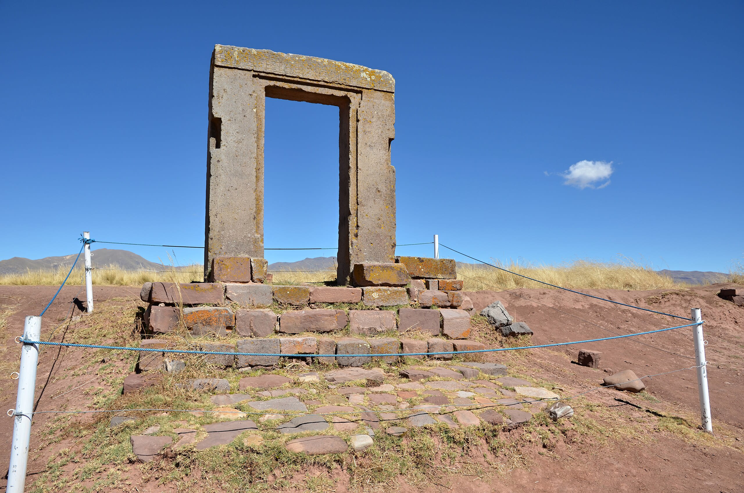
Puma Punku
Tiwanaku, La Paz, Bolivia
Puma Punku in Tiwanaku, La Paz, Bolivia.

Semi-subterranean Temple at Tiwanaku
Tiwanaku, La Paz, Bolivia
Semi-subterranean Temple at Tiwanaku in Tiwanaku, La Paz, Bolivia.

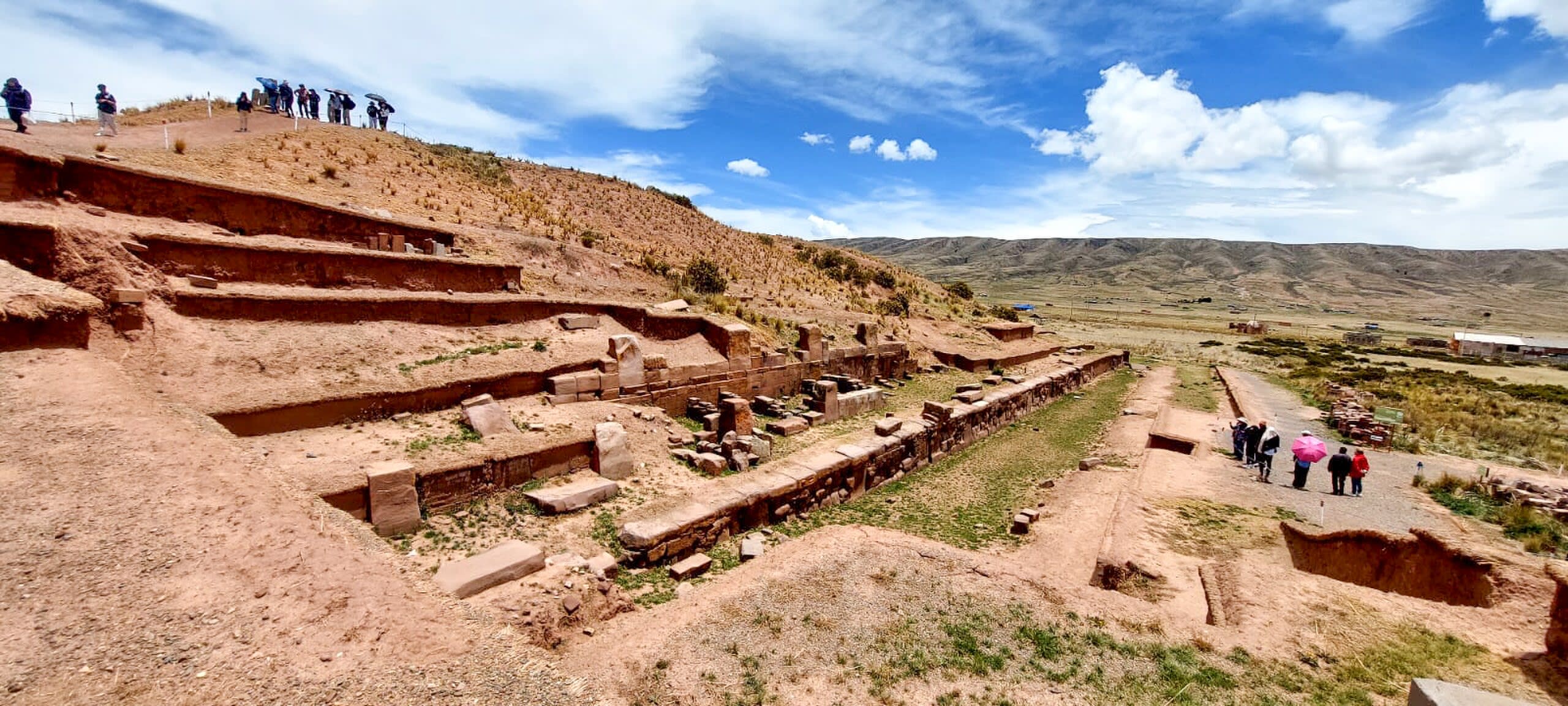
Tiwanaku Archaeological Site
Tiwanaku, La Paz, Bolivia
Tiwanaku Archaeological Site in Tiwanaku, La Paz, Bolivia.
Oruro
1 sites
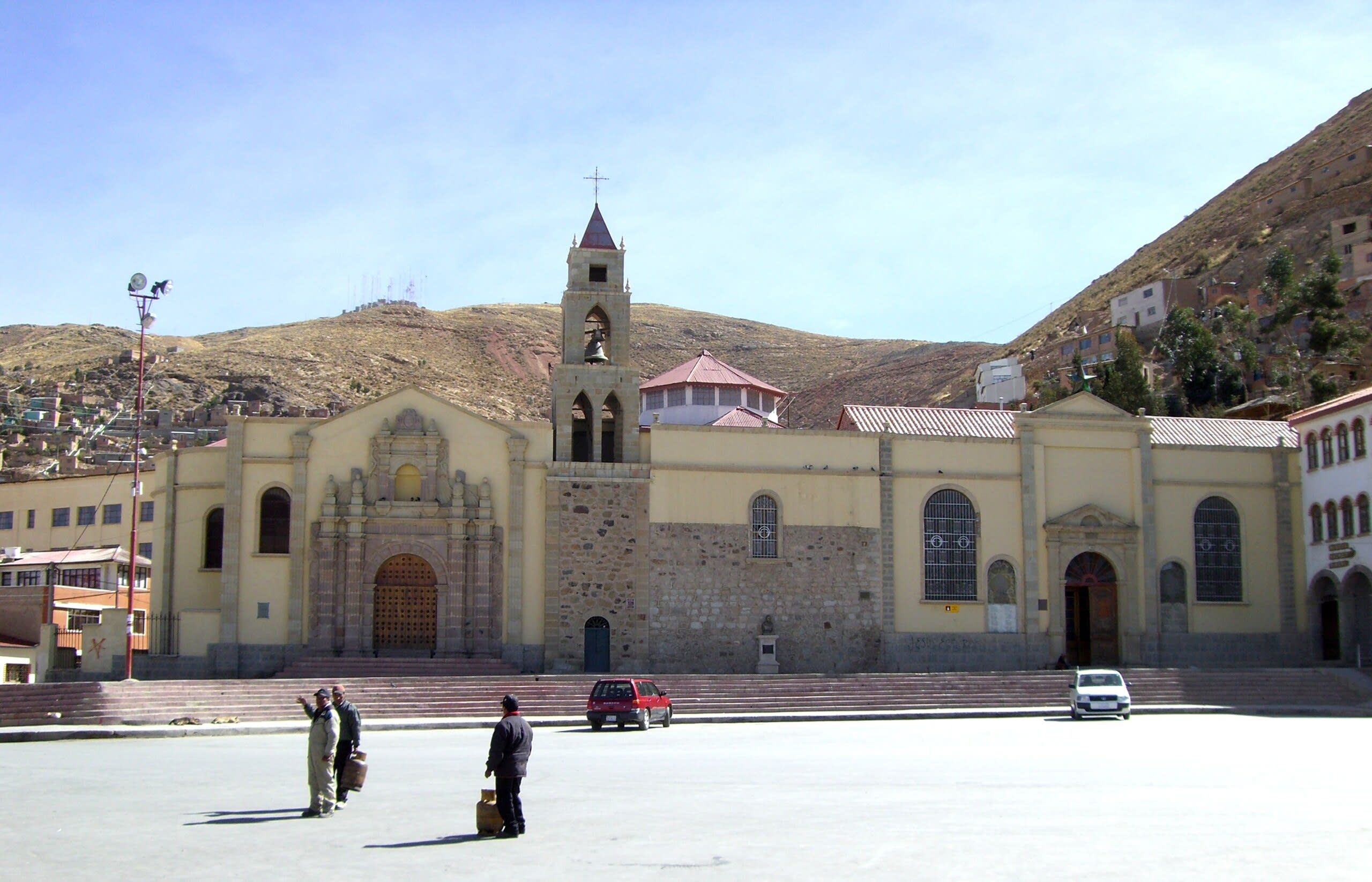
Potosí
1 sites
Santa Cruz
2 sites
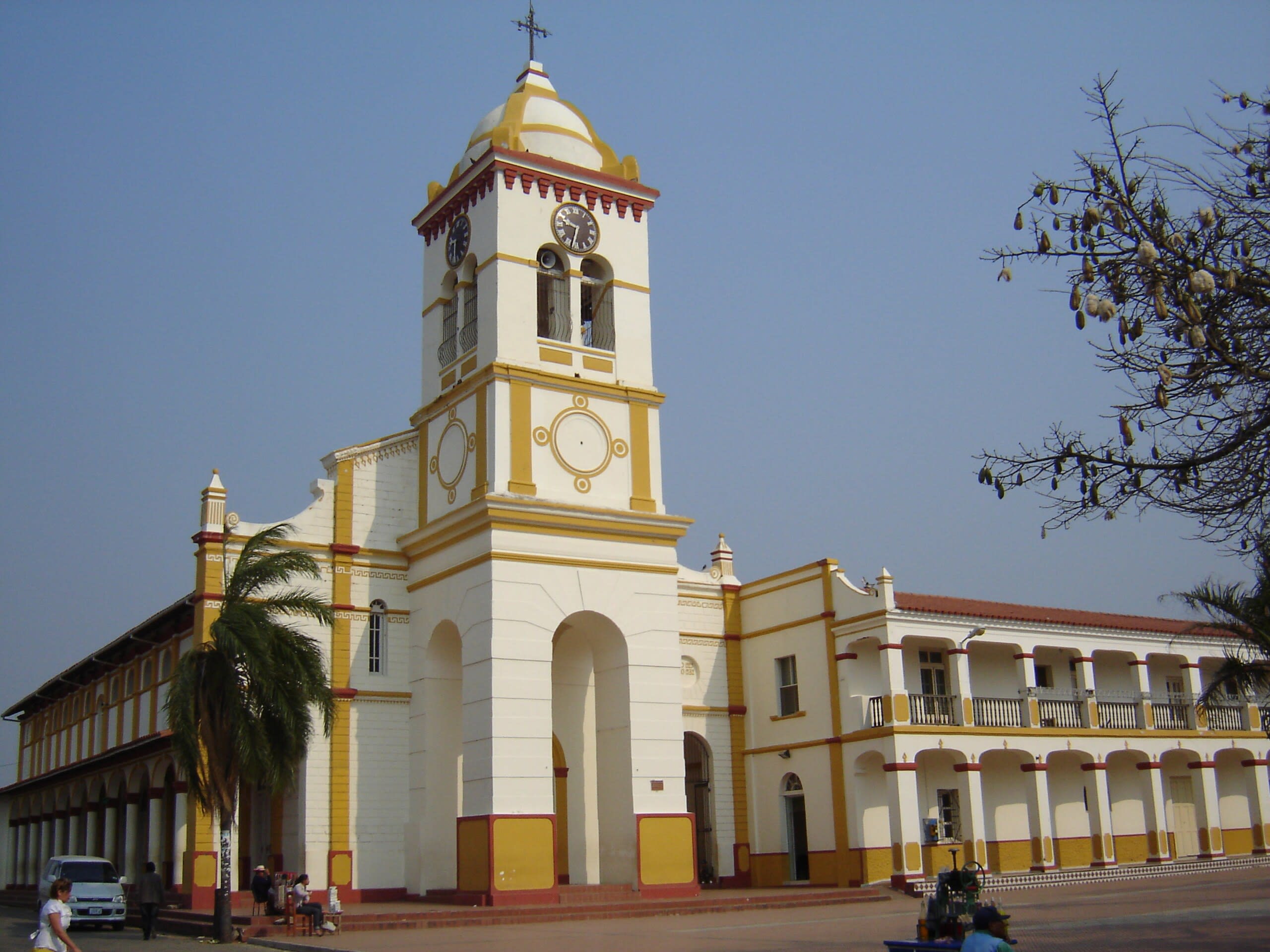
Cotoca, Santuario de la Virgen de Cotoca
Cotoca, Santa Cruz, Bolivia
Cotoca, Santuario de la Virgen de Cotoca is a sanctuary of sacred significance. Approximate coordinates: -17.75473, -62.99652. Attributes: built, cultural, pilgrimage. Tradition: Christianity. Associated figure: Virgen de Cotoca. Located in Municipio Cotoca, Santa Cruz, Bolivia.

Ruins of El Fuerte ceremonial site, Samaipata
Municipio Samaipata, Santa Cruz, Bolivia
Ruins of El Fuerte ceremonial site, Samaipata is a site of sacred significance. Approximate coordinates: -18.17858, -63.82049. Located in Municipio Samaipata, Santa Cruz, Bolivia.
Tarija Department
1 sites