Nakhon Si Thammarat
Nakhon Si Thammarat City Municipality, Nakhon Si Thammarat Province, Thailand
At A Glance
- Coordinates
- 8.4110, 99.9661
Overview
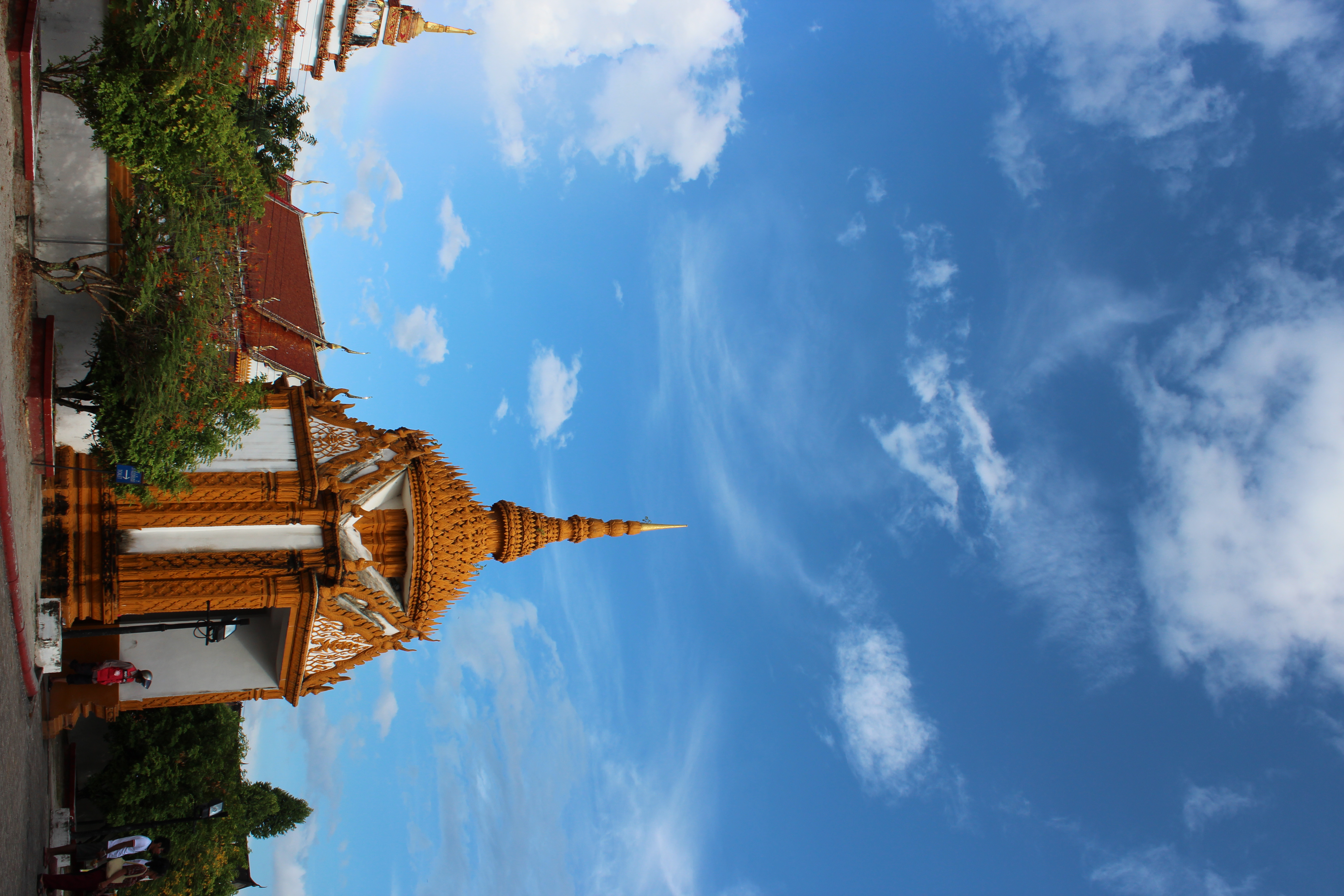
Nakhon Si Thammarat is a site of sacred significance. Approximate coordinates: 8.41100, 99.96614. Nakhon Si Thammarat (Thai: นครศรีธรรมราช, pronounced [ná(ʔ).kʰɔ̄ːn sǐː tʰām.mā.râːt]; from Sanskrit: Nagara Shrī Dharmarāja ) is a city municipality (thesaban nakhon) located in Mueang Nakhon Si Thammarat, the capital of Nakhon Si Thammarat Province. Nakhon Si Thammarat Province is situated in the South of Thailand. It is about 610 km (380 mi) south of Bangkok, on the east coast of the Malay Peninsula. The city was the administrative centre of Southern Thailand during most of its history. Originally, a coastal city, silting moved the coastline away from the city. The city has a much larger north to south extension than west to east, which dates back to its original location on a flood-save dune. The modern city centre on the train station is north of Old Town. As of 2019, the city had a population of 102,152. Located in เทศบาลนครนครศรีธรรมราช, Mueang Nakhon Si Thammarat, ประเทศไทย.
Sacred Cluster
Nearby sacred places create the location cluster described in the growth plan. This block is intentionally crawlable and links into the wider regional graph.

Chaiya
Chaiya, Surat Thani Province, Thailand
138.2 km away
St. Anne's Church, Bukit Mertajam, Penang, Malaysia
Bukit Mertajam, Penang, Malaysia
344.7 km away
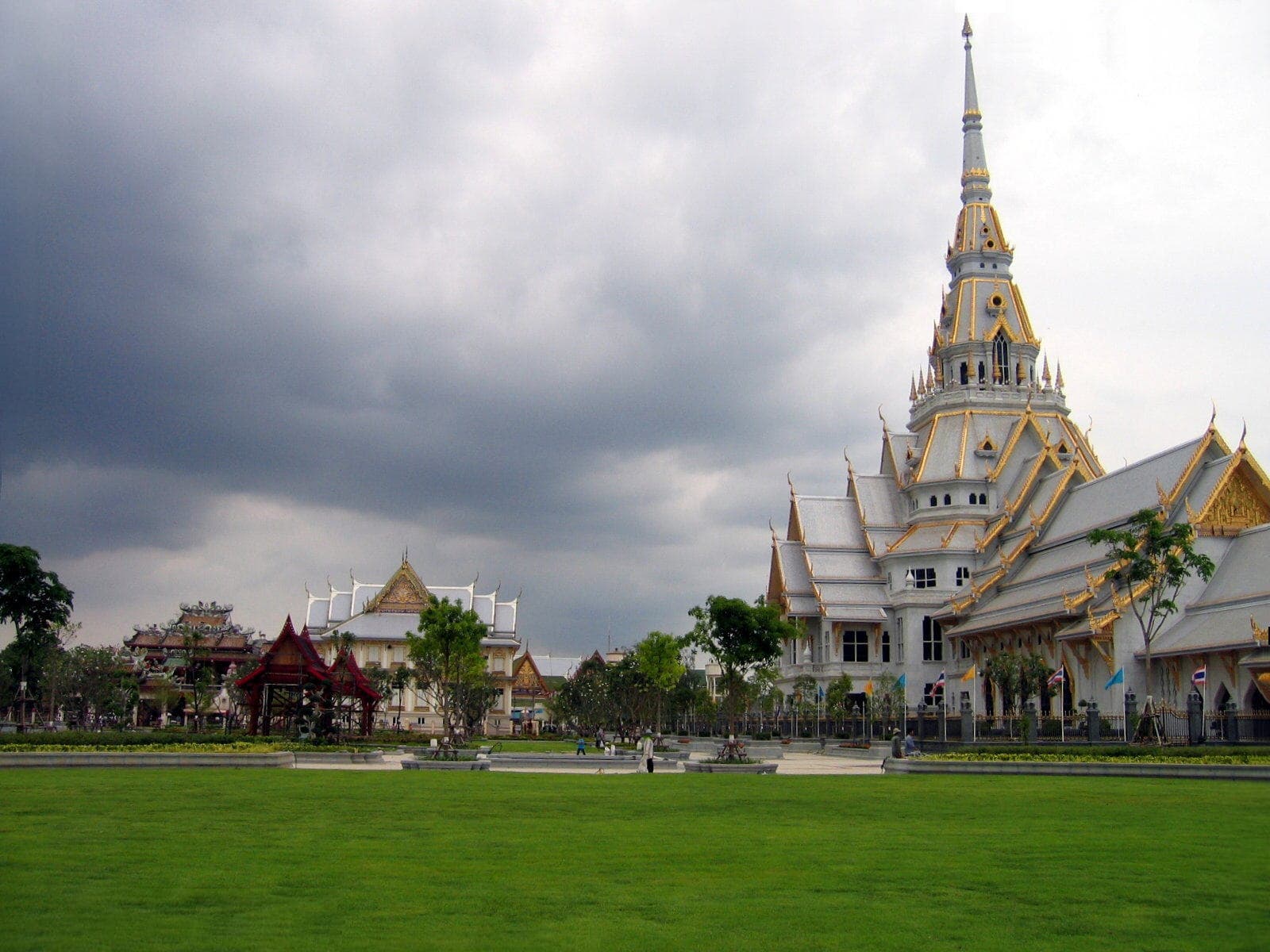
Chachoengsao
Chachoengsao, Chachoengsao Province, Thailand
597.4 km away

Nakhon Pathom
Nakhon Pathom, Nakhon Pathom Province, Thailand
601.5 km away